Northeast California
by Philip Greenspun; created 1998
Home : Travel : California : Northeast California
by Philip Greenspun; created 1998
Home : Travel : California : Northeast California
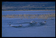
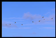
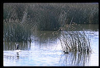
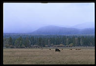
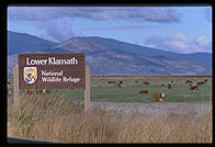 My favorite part of northeast
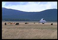
California starts on the Oregon border in the Klamath National Wildlife Refuge.
In addition to the politicians' friends cows getting fat on the federal
grasslands, you find a large swamp filled with birds resting as they make their
way up or down the Pacific Flyway.
My favorite part of northeast
California starts on the Oregon border in the Klamath National Wildlife Refuge.
In addition to the politicians' friends cows getting fat on the federal
grasslands, you find a large swamp filled with birds resting as they make their
way up or down the Pacific Flyway.
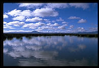
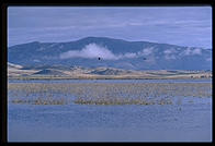
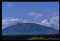
One of the more interesting aspects of the Klamath Basin is the interpretation of the word "refuge". Suppose that you were a pintail duck and, encouraged by the "refuge" sign, chose to land in the basin. What do you think you'd be welcomed with? Would you be surprised to find the pellets from a 12-gauge shotgun shell heading in your direction? Don't be. That's what "wildlife refuge" means in the American West. A place where wildlife can be attacked with all the guns that we're entitled to own under the Second Amendment.
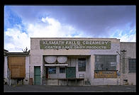
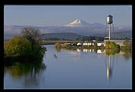
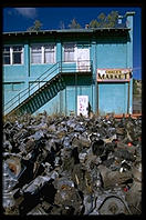
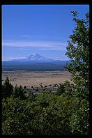
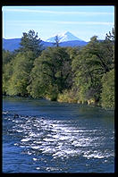
A good place to stay is 20 minutes north at the Shilo Inn in Klamath Falls (Oregon). Speaking of Klamath Falls, here are a few of my snapshots from there. One great thing about the town is that you can see California's Mt. Shasta. Though the mountain, at 14,162 feet, is a 332 feet lower than Mt. Whitney (the Lower 48's highest peak, smack in the middle of the Sierra), Mt. Shasta appears much higher due to its lone stance 10,000 feet above the surrounding countryside.
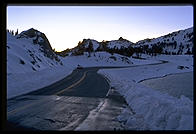
As long as we're talking about Oregon, it is worth driving a few hours north to Crater Lake. I was there in early October 1997, just before the Inn closed for the season. For a fifteen minute period in the morning, it was possible to see the lake.
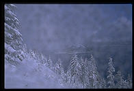
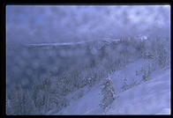
Two hours later, a couple drove in from California. A cloud was sitting on the lake, which they'd never seen and would not see that day. It was their third trip to Crater Lake.
I guess we'd better drive back to California...
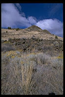
 Here in this high-desert
wilderness, Chief Kentipoos ("Captain Jack") of the Modoc Indians made his last
stand against the U.S. Army. Captain Jack was outnumbered by the federales 20:1
but managed to win most of the battles in the Modoc War between November 1872 and
May 1873. Captain Jack was eventually tried and hung by the government, which cut
off his head and shipped it to Washington, D.C.
Here in this high-desert
wilderness, Chief Kentipoos ("Captain Jack") of the Modoc Indians made his last
stand against the U.S. Army. Captain Jack was outnumbered by the federales 20:1
but managed to win most of the battles in the Modoc War between November 1872 and
May 1873. Captain Jack was eventually tried and hung by the government, which cut
off his head and shipped it to Washington, D.C.
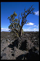
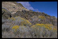
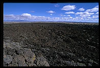
Today the shooting is confined primarily to the Klamath Basin Wildlife
Refuges, a few miles north, and folks just come to Lava Beds to see the, uh, lava
beds (there are also some petroglyphs).
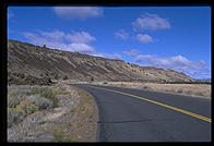
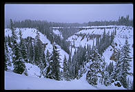
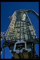
You can drive 30-60 miles between gas stations in the towns around Lava Beds. This is the very northeastern corner of California and has much more in common with the Old West (ranching, mining, lumber) than with the urbanized coast. So loose are the ties between the rest of California and this area that there were movements for separate statehood in 1852, 1855, and 1941 and some folks today think they'd be better off as a part of Nevada (no income tax and more relaxed environmental laws).
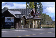
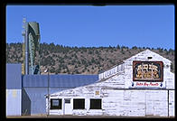
If you drive southeast from Lava Beds, you come first to Canby, a town named after General E.R.S. Canby who tried to negotiate peace with the Modocs but was killed by them on April 11, 1873. My favorite town is Adin:
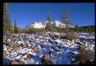
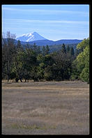
Driving west from Adin toward Lassen, you are constantly in the company of Mt. Shasta:
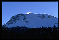
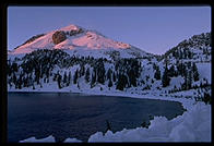
Lassen Peak is the southern tip of the Cascade Range, which runs all the way north to British Columbia. Its last eruption was May 22, 1915.