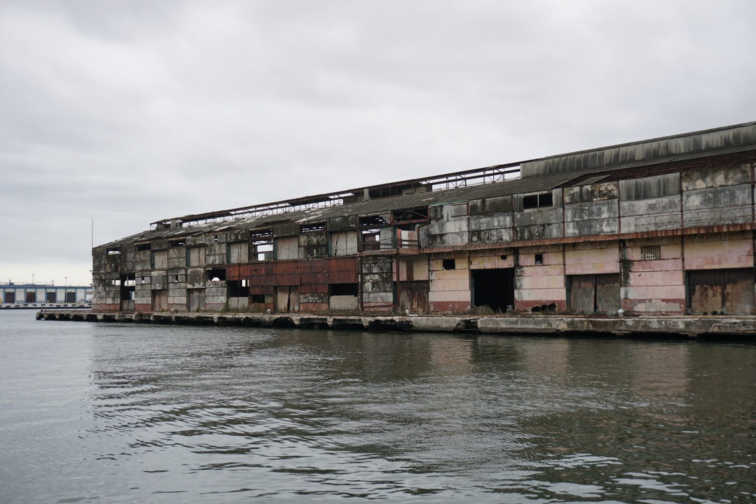
Cuba was richer, per capita, than Singapore in 1959 (Forbes) and Havana was the richest part of Cuba. As such, the city enjoyed world class physical infrastructure circa 1959: roads, sidewalks, beautiful houses and colonial buildings, etc.
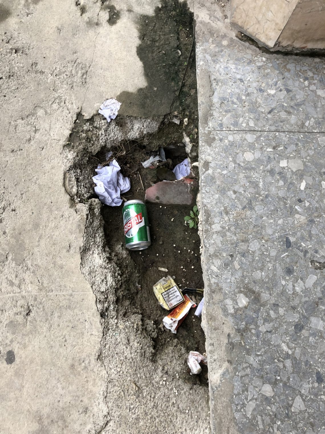
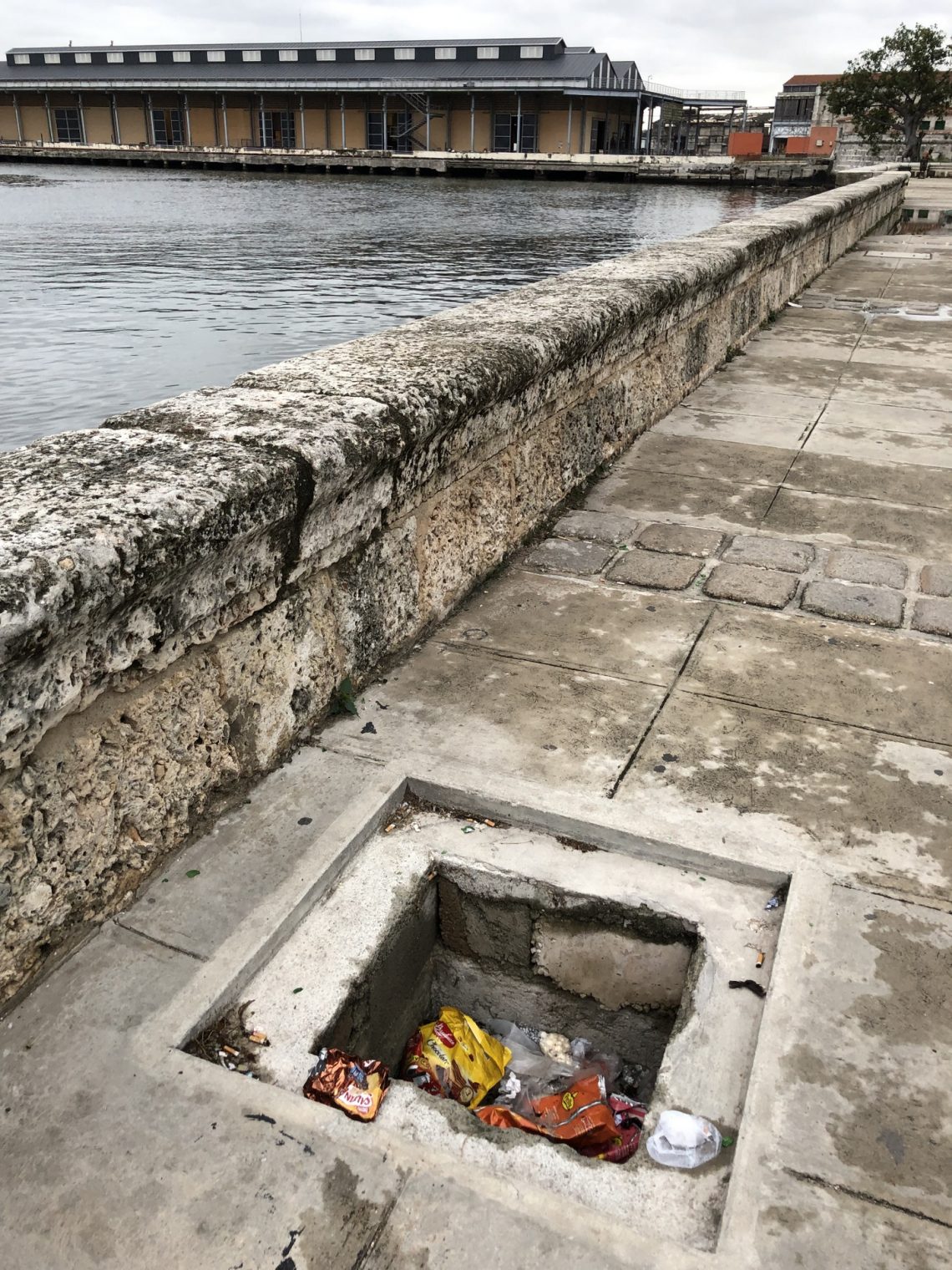
Except for some central business district areas and parts of the city that have been restored for tourist, Havana today is essentially in ruins. It is a good thing that not everyone has a smartphone because walking and trying to use a phone would likely result in falling into a pit (not marked off with cones) or stumbling over broken pavement. One guide said that approximately 33 buildings collapse monthly in Havana and 600 people are injured from collapsing ceilings, etc. (see also USA Today)
The GDP per capita today is about the same as it was in 1959 while the cost of materials and construction and construction have skyrocketed. There is no way that current Cubans could reproduce the infrastructure that their grandparents and great-grandparents bequeathed to them. Even if they never spent a dime on building anything new, I don’t think that 100 percent of their income would suffice to maintain the roads and buildings that they had in 1959 (concrete deteriorates rapidly in a hot humid salty environment).

Cuba should be a cautionary tale for any nation that isn’t experiencing substantial per capita GDP growth. Even if a country maintains a steady population and income per capita, the rise in the cost of repairing and rebuilding infrastructure means that quality and quantity will decline.


The question is: Are we following in the footsteps of Cuba, Venezuela or Brazil. The latter is the best case, but the most optimistic scenario I believe feasible.
Interesting story about Cuba collapsing. The hotel Astor is on goog street view.
http://url.ie/13f8s/
The author didn’t mention that the place is battered by much worse hurricanes than Fl*rida.
Giving me flashbacks of living in Cairo 1991-1994. Sewer cover once came rolling down road. Cuba not on my vacation wishlist
You mean like large swaths of the US South? (Read “Deep South” by Theroux)
https://www.google.com/maps/@31.9591756,-83.7828795,3a,75y,142.26h,78.17t/data=!3m7!1e1!3m5!1srTHXzWhBsBXH-2QnG3LcCw!2e0!6s%2F%2Fgeo3.ggpht.com%2Fcbk%3Fpanoid%3DrTHXzWhBsBXH-2QnG3LcCw%26output%3Dthumbnail%26cb_client%3Dmaps_sv.tactile.gps%26thumb%3D2%26w%3D203%26h%3D100%26yaw%3D179.24257%26pitch%3D0%26thumbfov%3D100!7i13312!8i6656
Or the distressed buildings (https://www.boston.gov/departments/neighborhood-development/distressed-buildings-boston)in the Boston area?
https://www.boston.gov/sites/default/files/distressedbuildings_publiclist2017-06182018_180618.pdf