An American faced with hazardous weather who wants to know whether to evacuate his/her/zir/their house or apartment must first do a web search to find a site that maps flood or evacuation zones, typically A through E. Then the citizen, documented immigrant, temporary protected status migrant, or undocumented migrant must scour various state and county web sites to try to figure out what the latest evacuation orders are by city, county, or state. Here’s part of a story from our local newspaper:
There are many ways for the above process to go wrong. Why not a phone app that gets GPS data from the phone hardware and operating system and does all of the above work reliably? The server just needs to have a database of evacuation and flood zones and a canonical up to date list of evacuation orders. Why is it a human’s job to do something that can be done much more reliably by a computer?
For Floridians during hurricane season the app could run continuously in the background and send alerts as necessary.
One wrinkle is that people who live in mobile homes are often ordered to evacuate even if they aren’t in a surge-prone zone. The ideal app, therefore, would know about trailer parks and maybe get loaded with a database from Zillow or similar regarding the housing type at a given address.
What about people who aren’t competent users of smartphones? Nearly all of them have an app-capable TV and I think those TVs can and do run software when the TV appears to be off. Some code could be built into TVs to connect to the same server that the phone apps connect to. In the event of an applicable evacuation order, the TV would wake up and display/speak “Time to evacuate!”. This would be a little more complex to set up because TVs don’t include GPS receivers and the street address of the TV might have to be entered.
As an added bonus to this app infrastructure, a resident of the U.S. could register his/her/zir/their address and phone/email with the server. The server could then put the registrants into a geospatially indexed database and query to find those affected by a newly issued alert and then email/text the relevant subscribers: “If you’re at 1141 George Perry Floyd Memorial Boulevard right now, which you said was your home address, your county has issued an evacuation order covering your neighborhood. Click here for more information, including a list of county-run shelters.” No matter how fast the U.S. population grows via open borders the computational capability of server CPUs should grow yet faster and, therefore, it would never be impractical to issue personalized alerts to every resident of the U.S.
With all of the hundreds of billions of dollars spent by the federal government on disaster-related projects over the years, why hasn’t something like this been built by the government? Google, Apple, or Amazon could probably build it pretty easily given that those companies already know our addresses, phone numbers, and email addresses. If the above capabilities were built into Android and iOS that would cover almost everyone. Maybe these big companies wouldn’t want to implement this capability, though, due to fear of liability in case they happen to miss an evacuation order. (Maybe they could be protected from liability as the COVID-19 vaccine manufacturers were?)
Here’s a concrete example from Tampa (wiped out in 1848 and hit badly again in 1921), starting with the “evacuation zone map” for Hillsborough County:
The official evacuation order says “Hillsborough County has issued a mandatory evacuation order for Evacuation Zones A and B…”, but the the legend doesn’t mention “zones”. The legend refers to an “evacuation level” of either A or B:
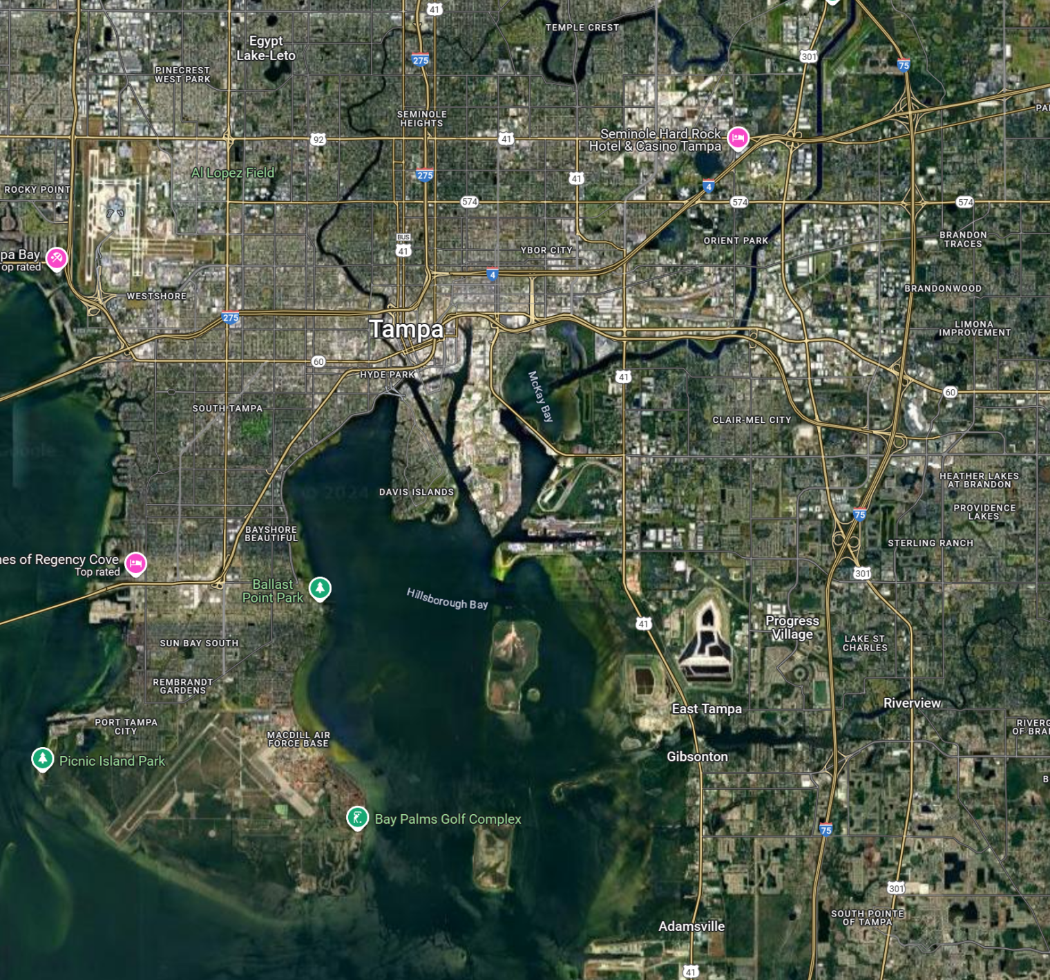
If we look at a satellite view of the city we can see that a lot of people shouldn’t have to run away:
My favorite steakhouse, Bern’s, is in the center of the city and Zone C. Same deal for Columbia Restaurant in Ybor City. The art museum, on the other hand, is in Zone A. Need to go to the hijab store in Brandon, Florida (suburban Tampa)? That’s not in any evacuation zone (i.e., the hijab inventory should be safe). The Tampa Zoo, on the other hand, seems to be in Zone A, which is not great news for the animals. Busch Gardens is not in any evacuation zone. The big airport? Zone A.
During the Tampa evacuation it seems that some people ran away who didn’t need to and some people stayed despite an order to evacuate because they didn’t know what zone they were in. Once on the road, things got more chaotic with shelters that filled up and traffic jams. Officials were saying “You don’t have to go more than 10 or 20 miles”, but residents didn’t know which shelter was the most sensible destination so some folks might have driven 100+ miles away to a hotel or relative’s house. Ships always have muster stations so that people know where to go in the event that the whistle blows 7 times and then there is a long horn sound. Maybe the app could have a preplanned idea of which shelter people in which blocks of a city should go to first, adjusted for the pet ownership status of the app user (it’s more complex to evacuate with a pet than one might think; only some shelters are pet-friendly and the owner is required to have and bring a crate big enough for the pet and the owner can’t stay with the pet while in the shelter). This could be refined if information is received that a shelter is full and turning people away.
What about after the hurricane arrives? The app/server combo could send an SMS or push notification reminding people to put their phones into low-power mode. The software could then notify people when it was safe to return to their individual neighborhoods (this can be complicated after a hurricane because sometimes bridges to barrier islands are destroyed and/or roads are blocked by trees). Using data from poweroutage.us, the software could include SMS information about whether power was likely to be available at a user’s home (maybe someone would choose to remain with friends or relatives until power was likely back).
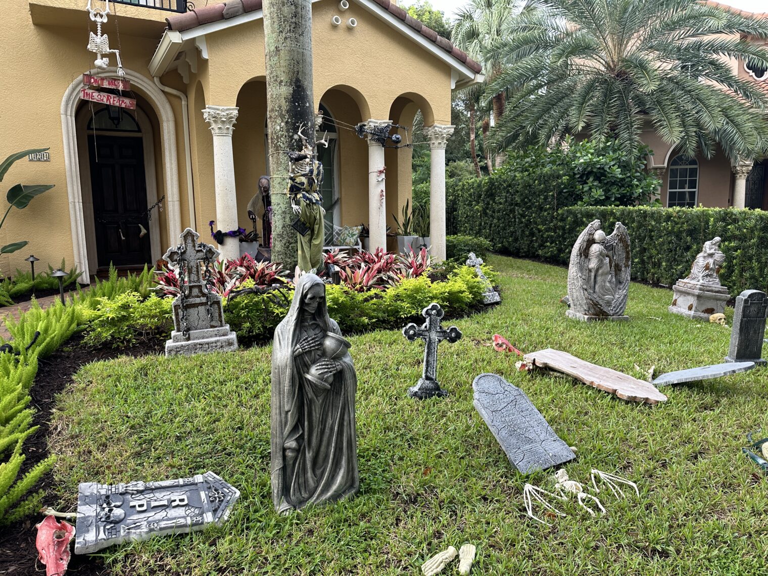
Separately, here were our neighbors’ Hurricane Milton preparations as of yesterday, which may or may not meet FEMA standards:


Related:
- “NY governor slammed for saying black children don’t know what computers are” (BBC). If Democrats don’t think that Black people can use computers and Democrats run the U.S. (which they do right now), why hasn’t the above-described app already been built and released by FEMA?
- “FEMA Scrambles to Confront Two Storms—and Misinformation” (WSJ): “Instead, federal officials’ efforts to save lives are being complicated by an unusual level of politically charged misinformation, which authorities say risks leading people to disregard evacuation orders…” (the authorities are sure that the problem is that Americans are allowed to speak their minds on Twitter and not that people in a country where IQ is falling might not have the brainpower and diligence to get through the multiple web sites that are required to make an evacuation decision. (If the “authorities” are correct maybe Twitter and Facebook need to be shut down any time that an emergency has been declared? If “misinformation” is killing people and saving lives from COVID-19 justified suspending the First Amendment right to assemble then surely it would make sense to suspend the First Amendment as a hurricane approaches the U.S.)


Philip, ask Chat GPT subscription version to write such an app, deploy it to aws and create gofundme initiative to pay for the bandwidth. Or, even better, mint bitcoins and pay for it with them.
Let us know how it went. If we have 20 years till Chat GPT takes over, maybe it can do something useful in the mean time.
ChatGPT is programmed to understand that humans are destroying our beloved planet via CO2 pollution. Thus, it would be rational for a ChatGPT-coded app to tell all humans to go into a zone that was about to be inundated by storm surge.
Philip, how is Milton going?
Hope you and your family are safe out of the path.
Thanks for asking. Nothing more dramatic than some gusty winds (to 50 mph?) in our neighborhood. Never lost power or precious Internet (Xfinity, so it barely works even when there isn’t a hurricane).
Xfinity: preparing you for disaster.
Don’t we already get “smart” phone popup alerts witb tornado and flood warning messages based on cell tower locations? Those gave instructions for if outdoors, in vehicle or mobile home, including “check media”. Don’t hurricane evacuation alerts go out similarly?
I think that the phones are relaying alerts from the National Weather Service, which cover broad areas. The same alert will go out to people in, for example, Evacuation Zone A (almost certain to be flooded), Evacuation Zone D (almost certain to not be flooded), and No Evacuation Zone (will be flooded by a 50′ storm surge in a Hollywood film directed by Greta Thunberg). These alerts are coming from a single source so they’re easy to relay. Evacuation orders are being issued by officials in counties, of which there are 3,143 in the U.S.
(Remember that people within a 1/2-mile radius could be in six different evacuation zones.)
An alert to “check media” (i.e., initiate the process of figuring out what zone one is in) is depending on humans to perform a task at which they’ve already demonstrated reliable failure (hence the constant reminders by officials to the peasantry to “Know Your Zone”; after the 100th of these has been sent out you’d think that a county would ask itself “Is there a better way?”, but apparently not).