Our series continues … from the mid-October Boston to Bar Harbor, Maine flight in a Robinson R44 helicopter. Tony Cammarata was in back with a door removed and a Nikon D850. Instrument student Vince Dorow was with me in the front seats.
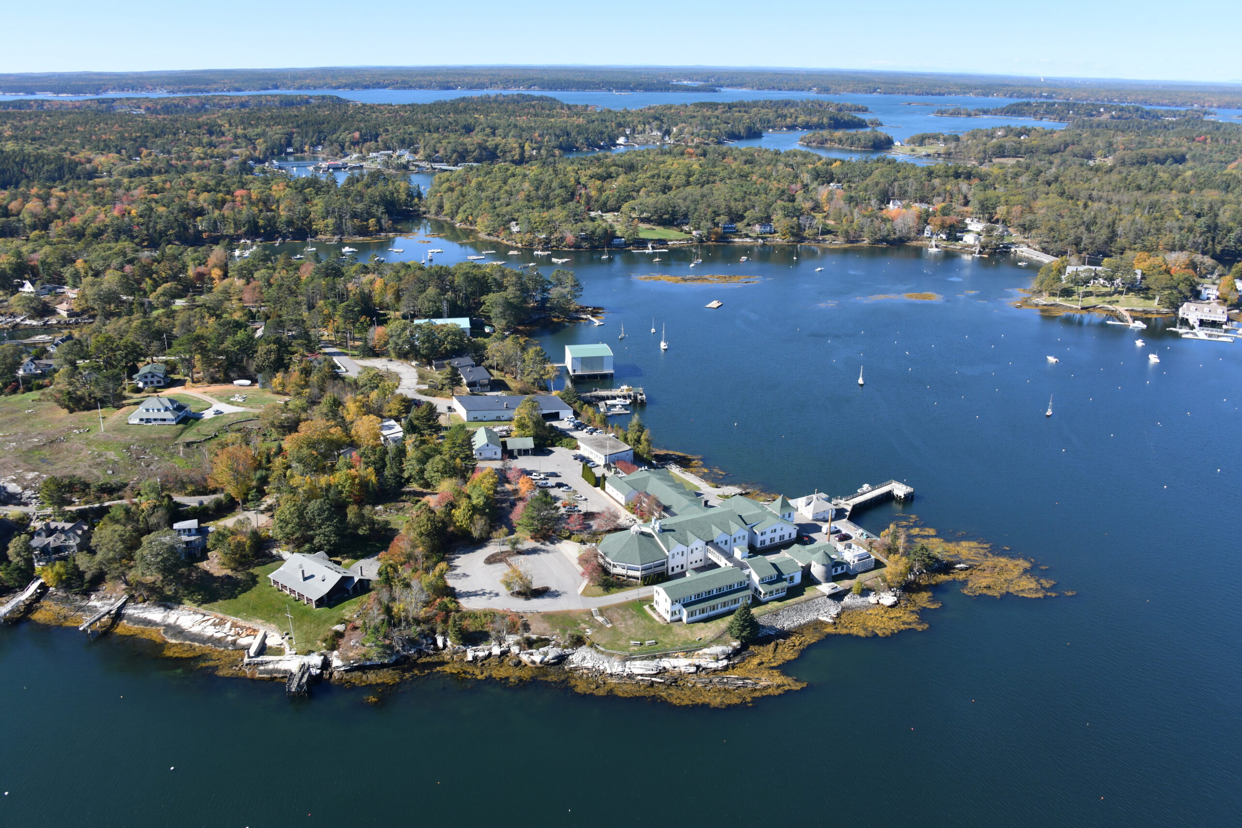
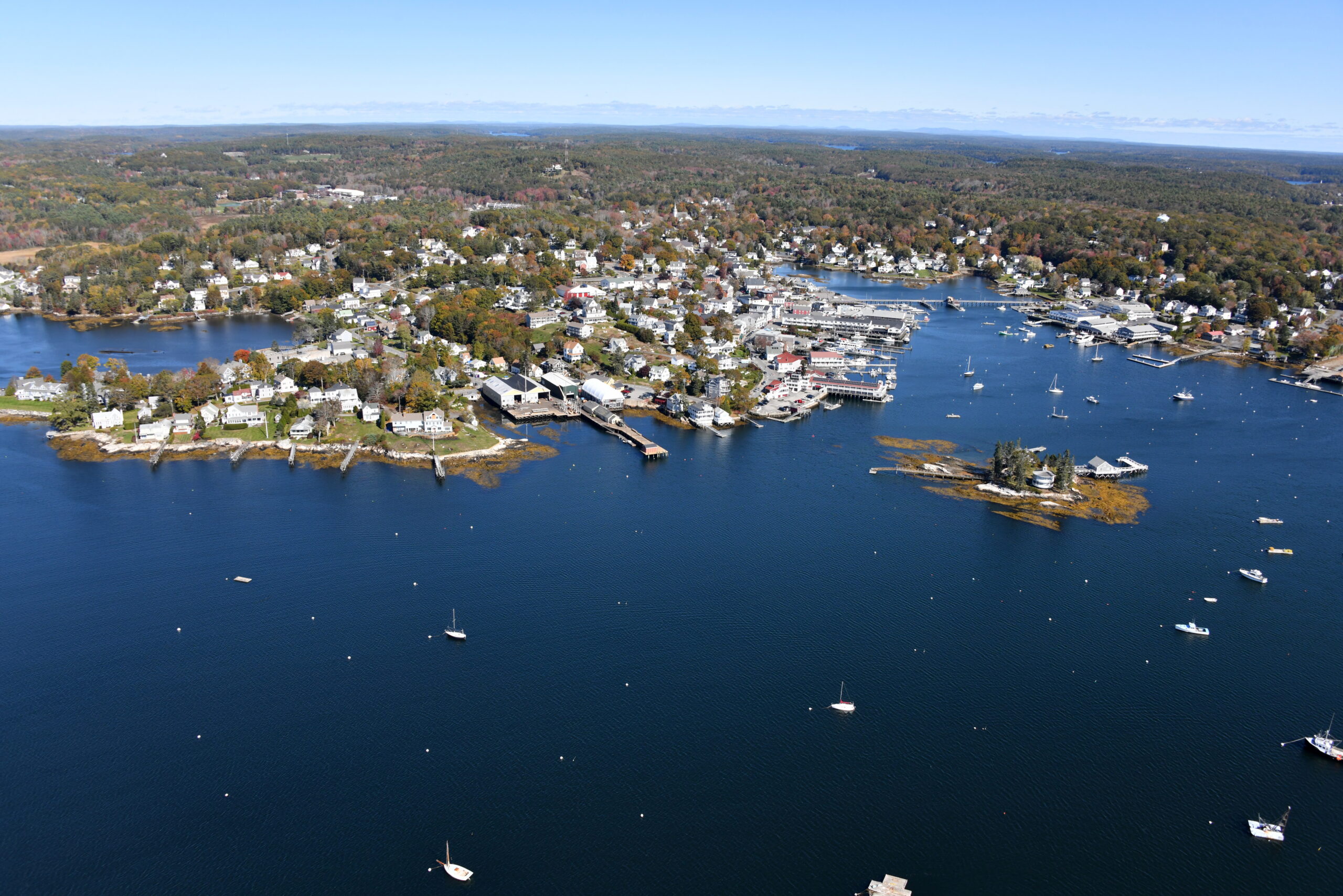
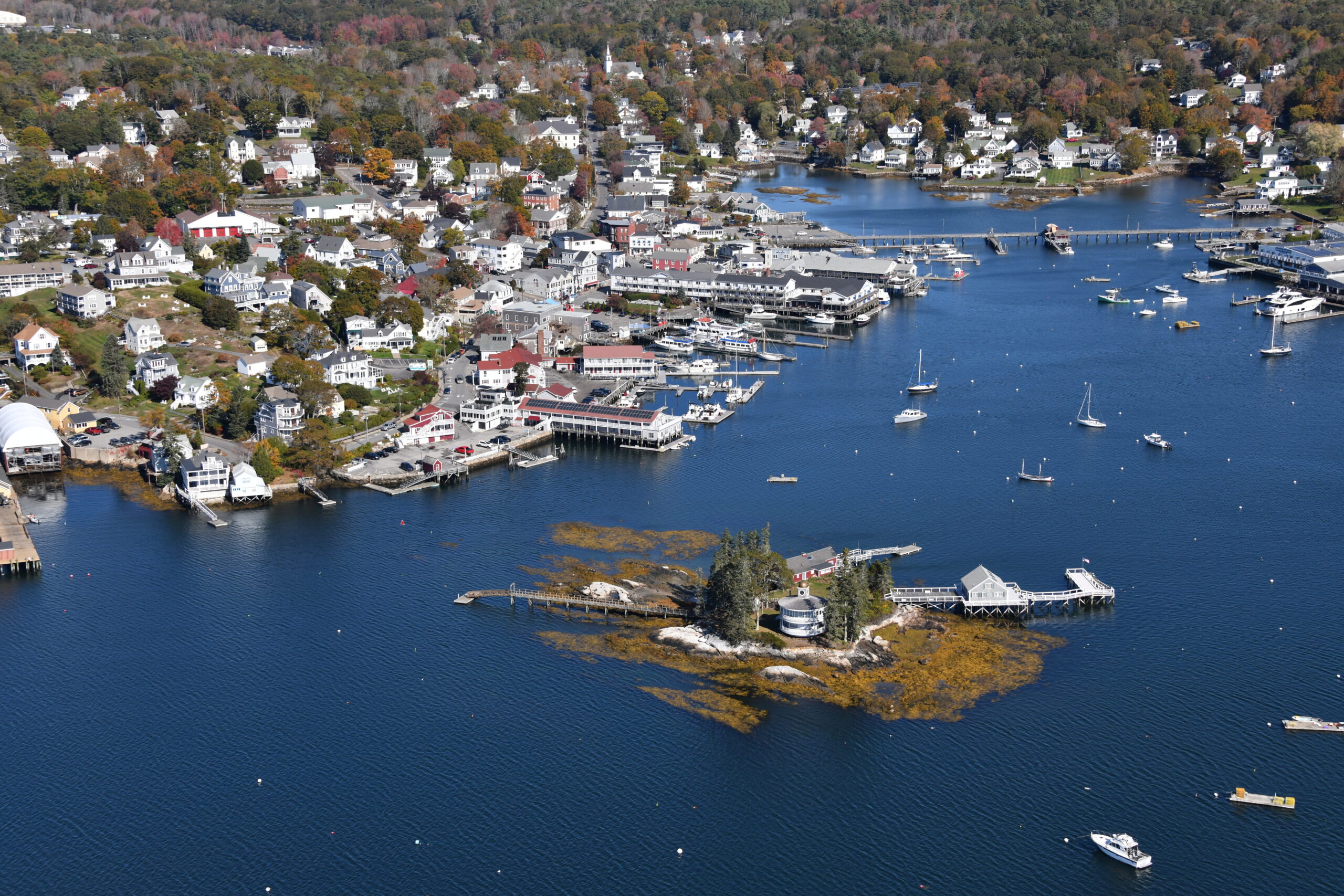
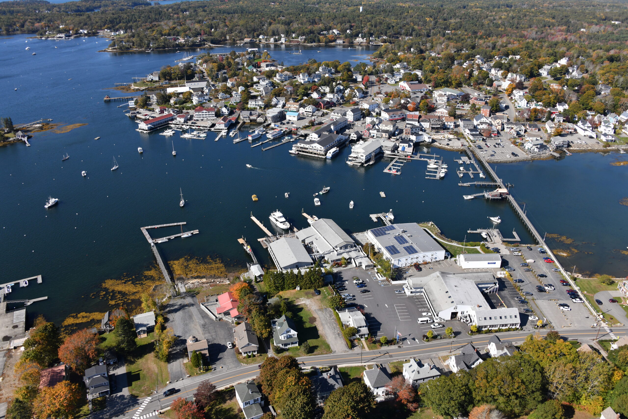
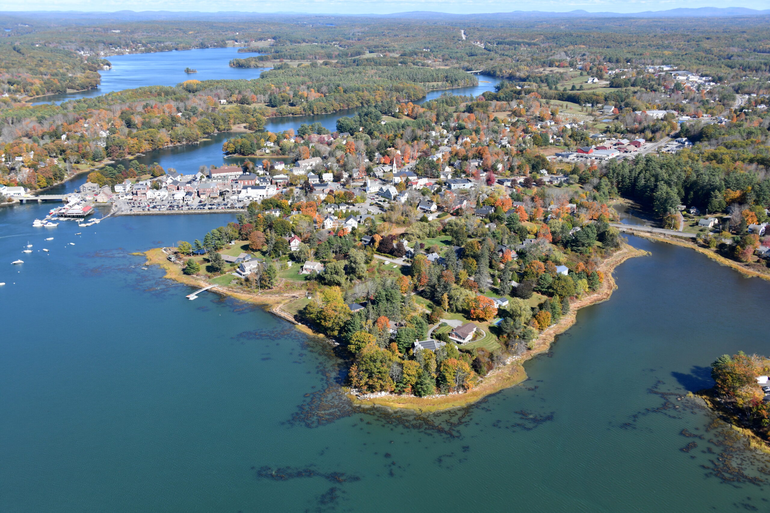
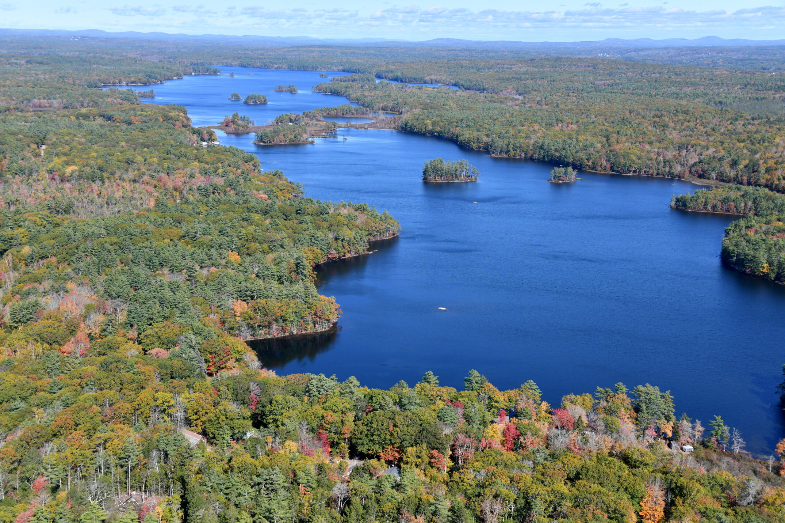
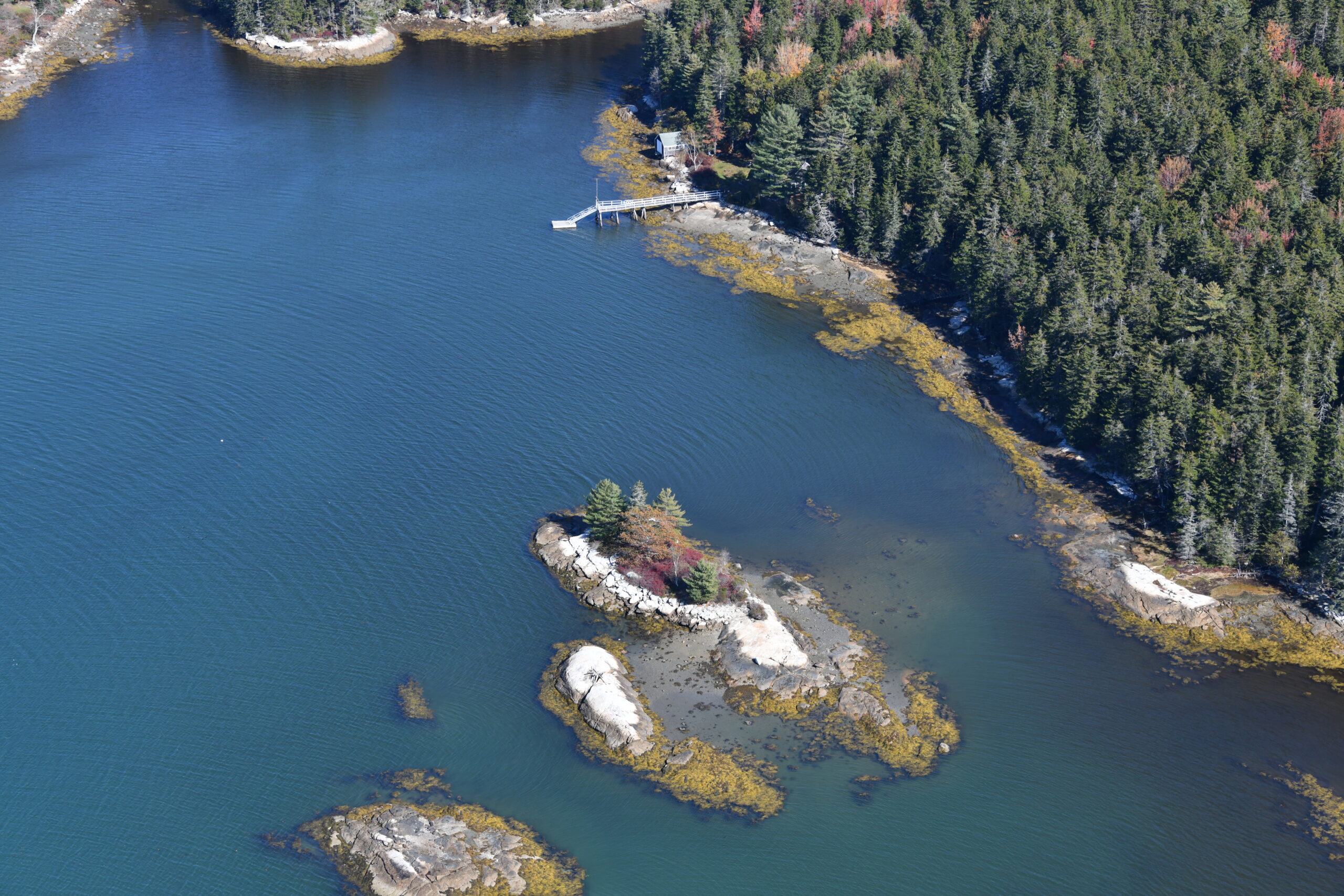
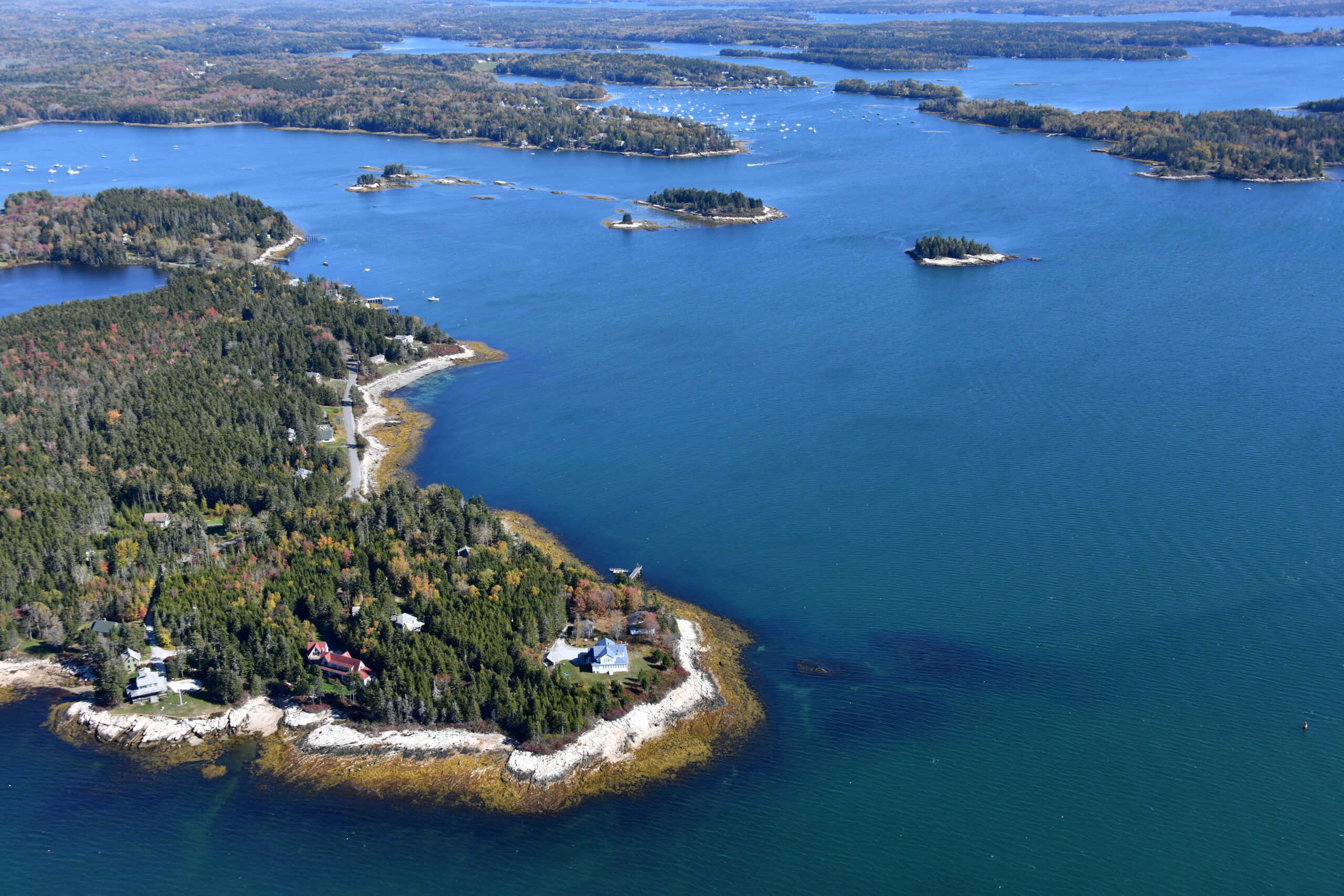
Boothbay Harbor and up the Damariscotta River:
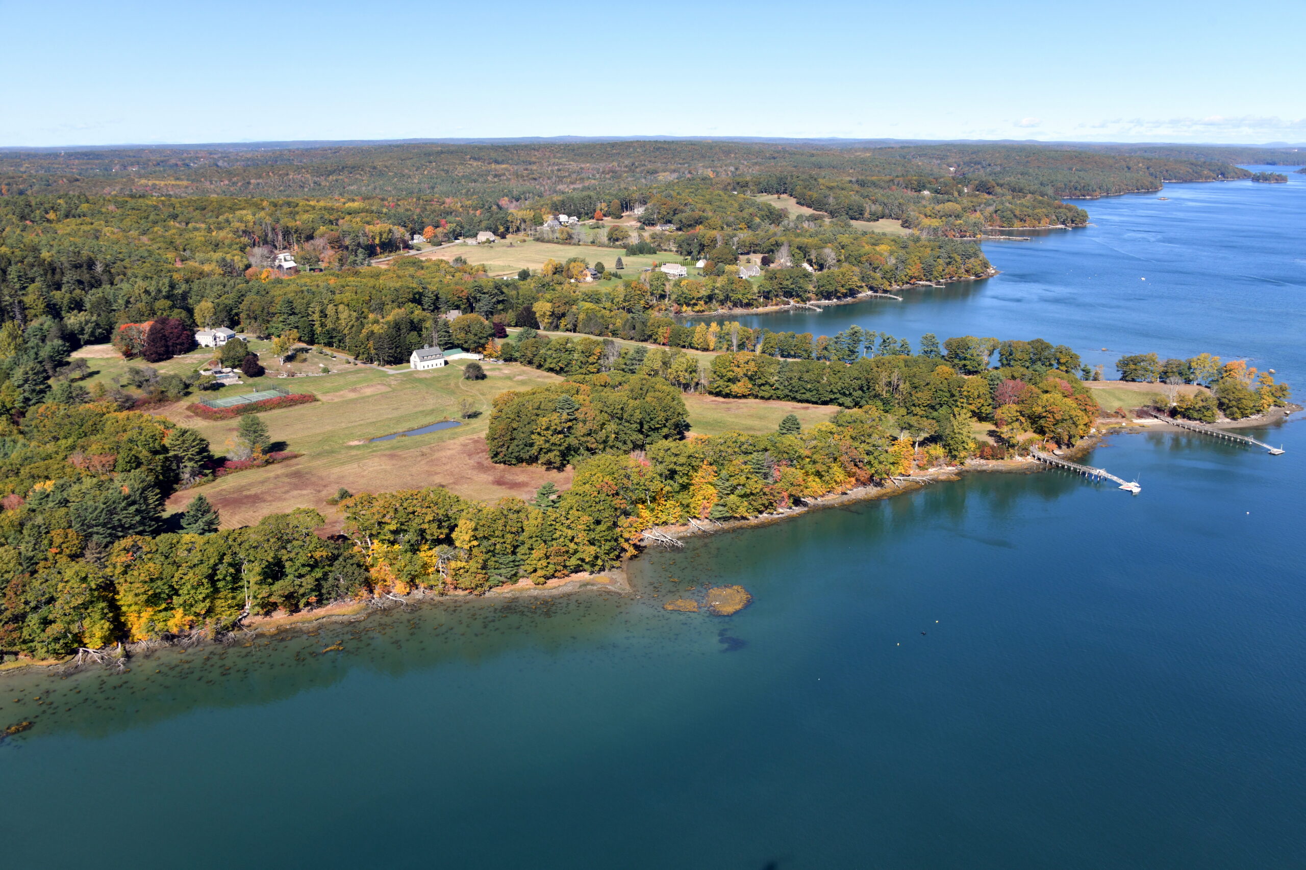
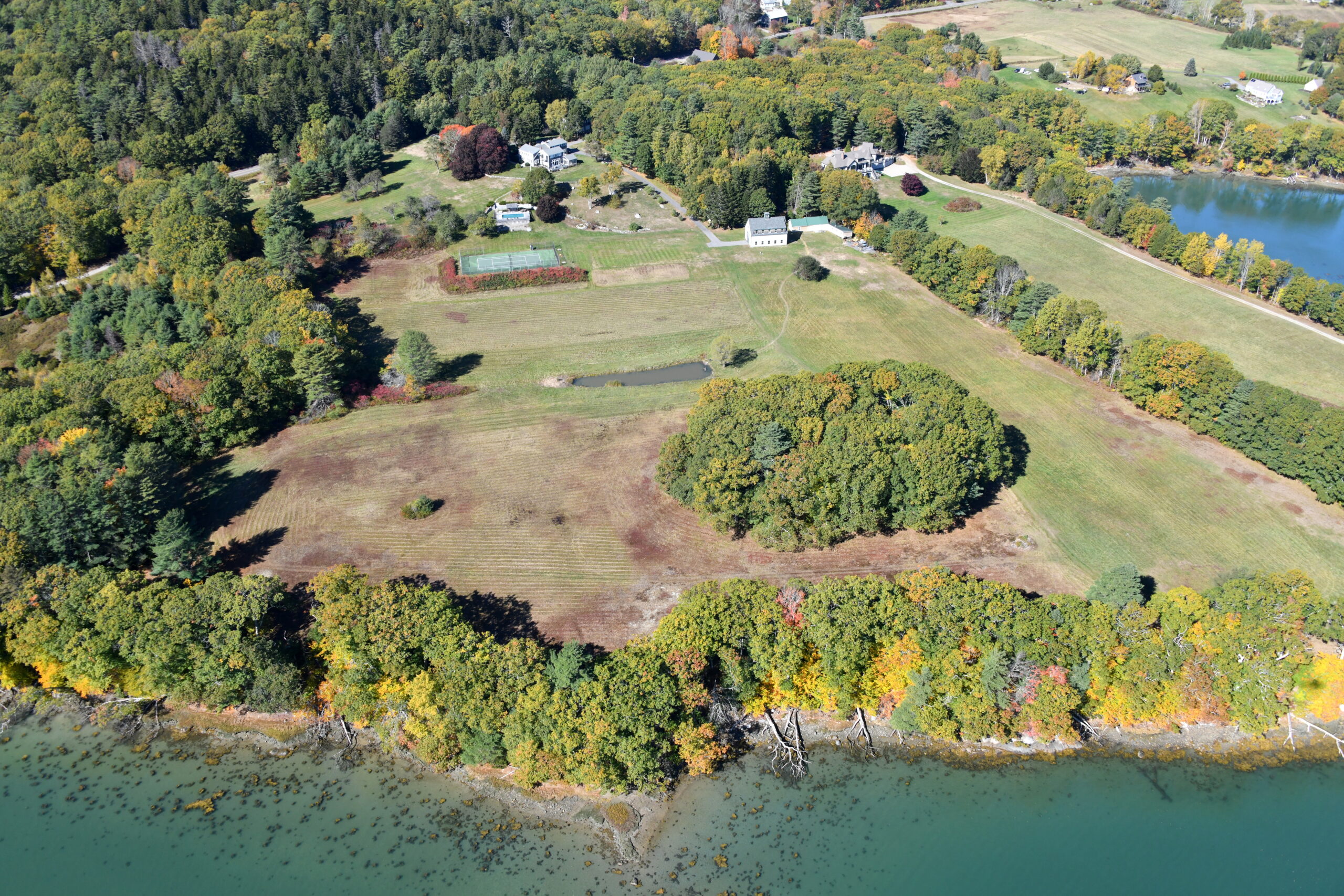
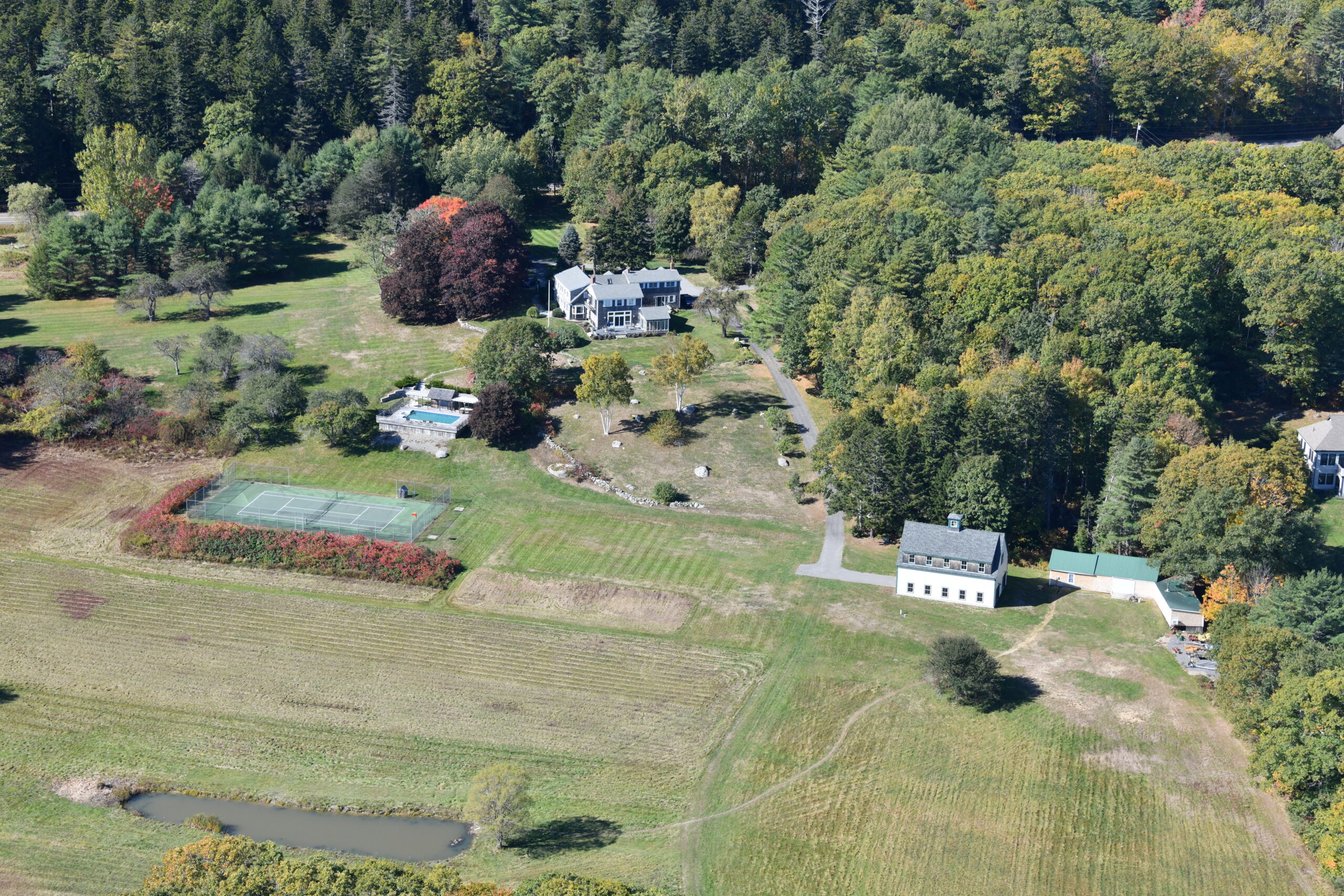
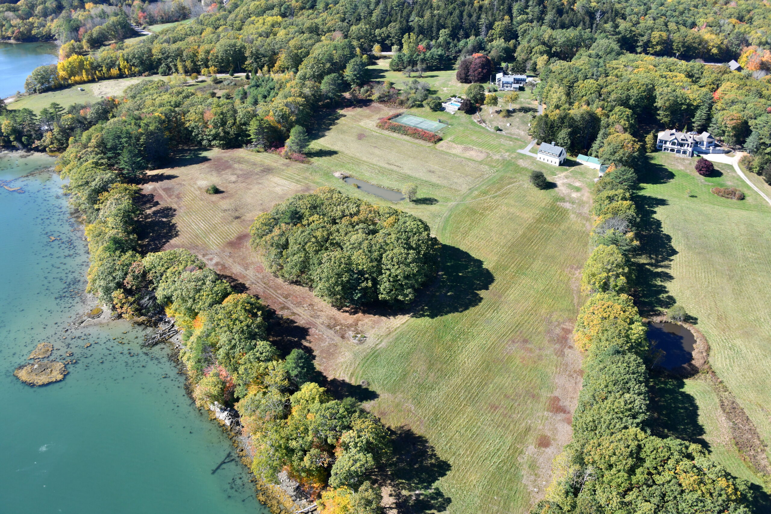
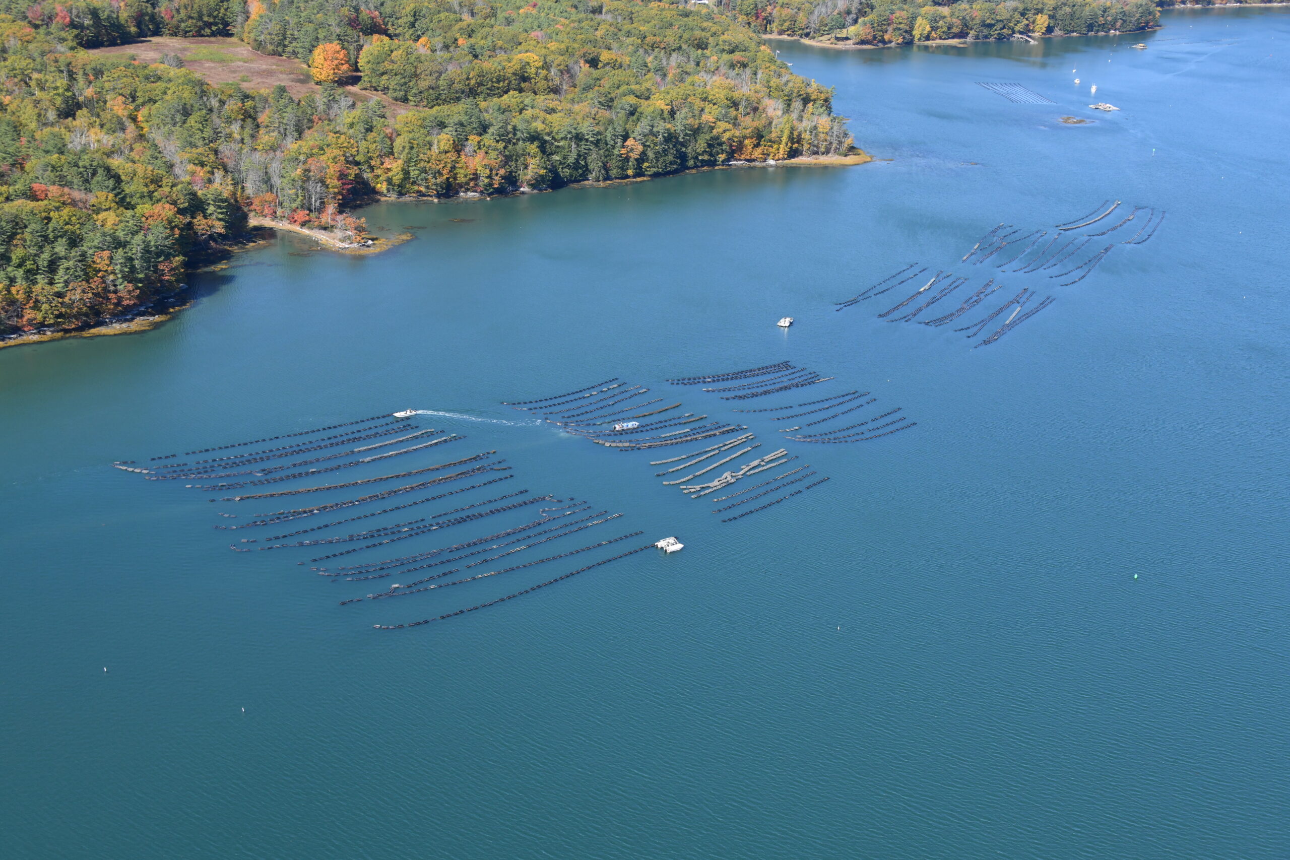
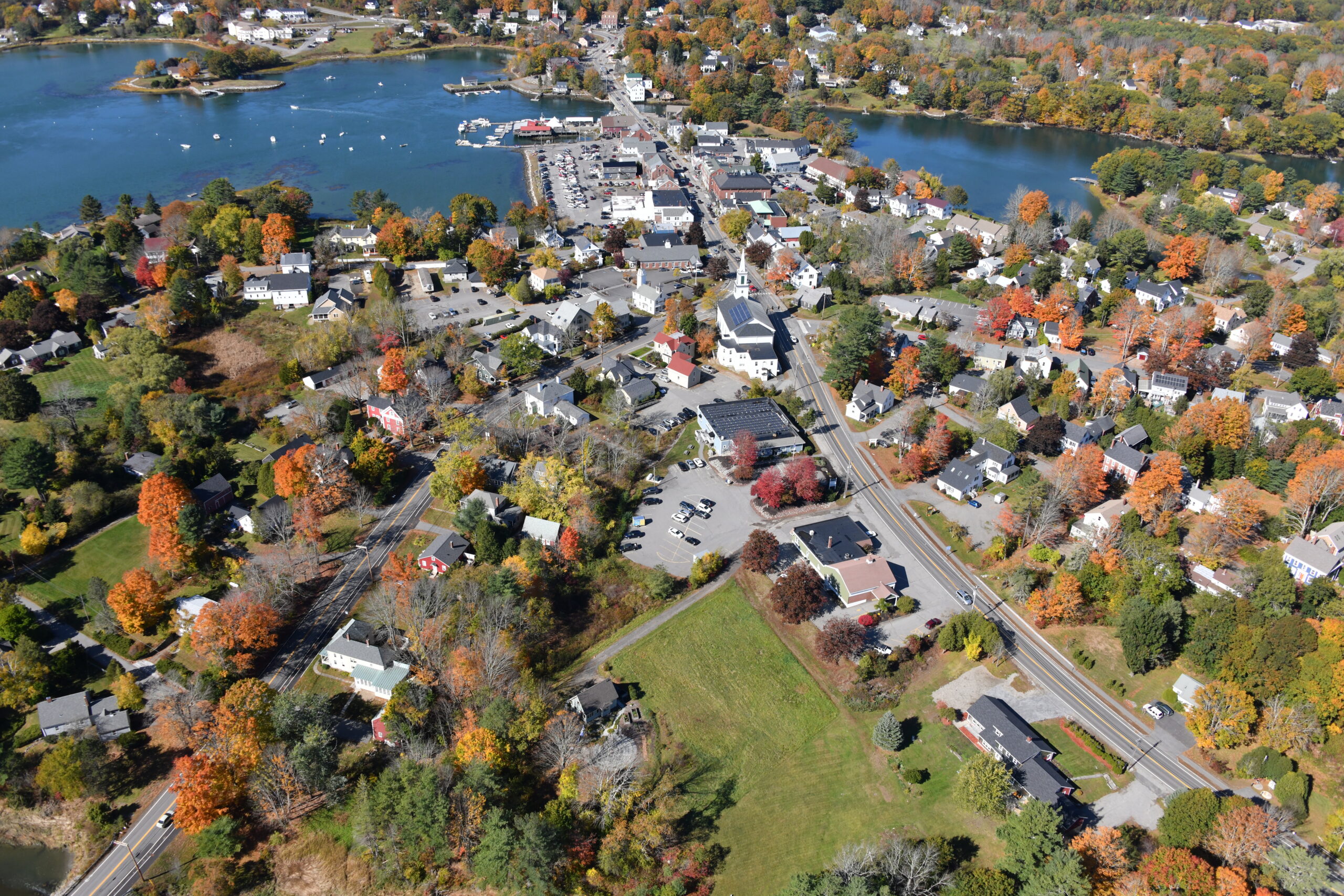
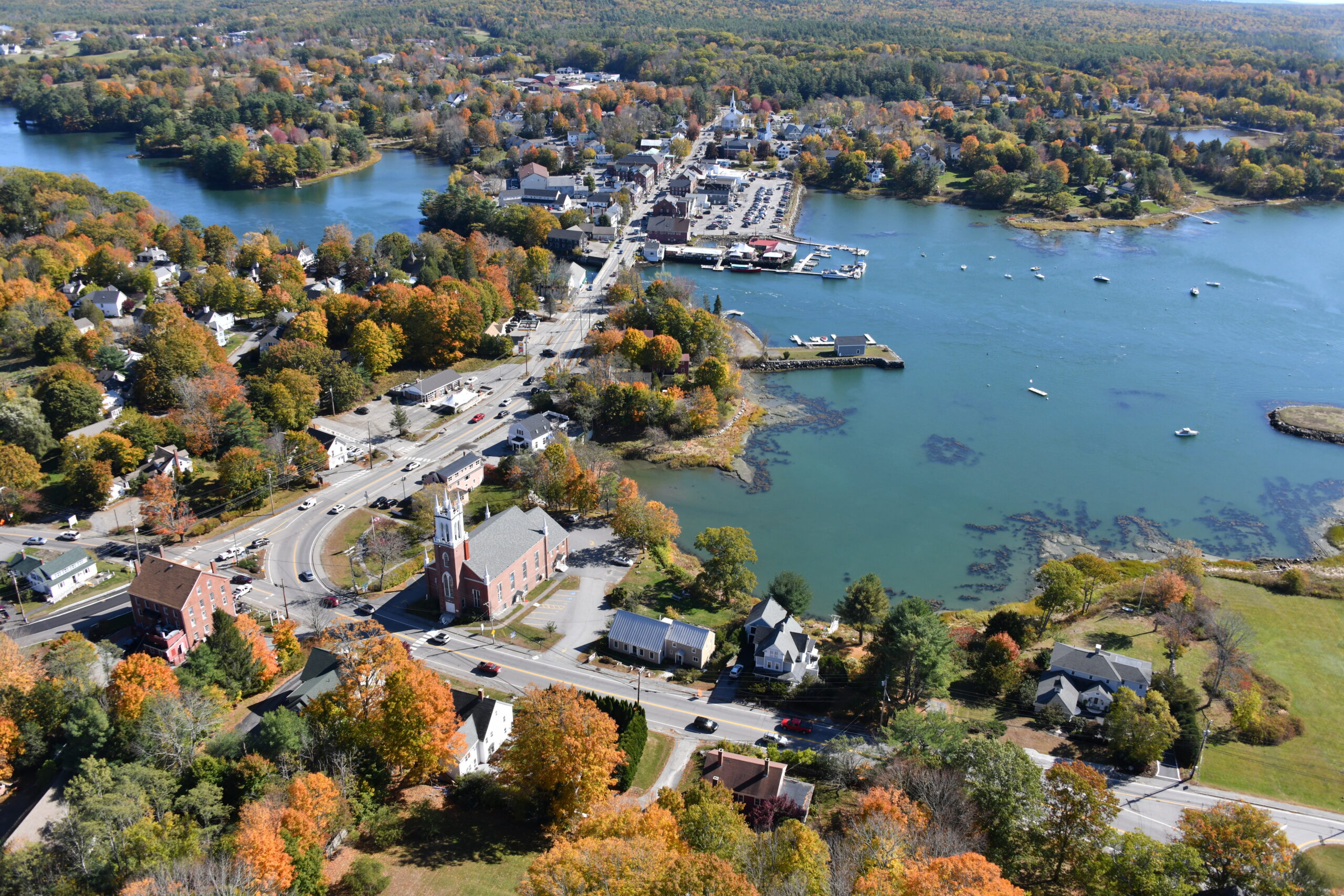
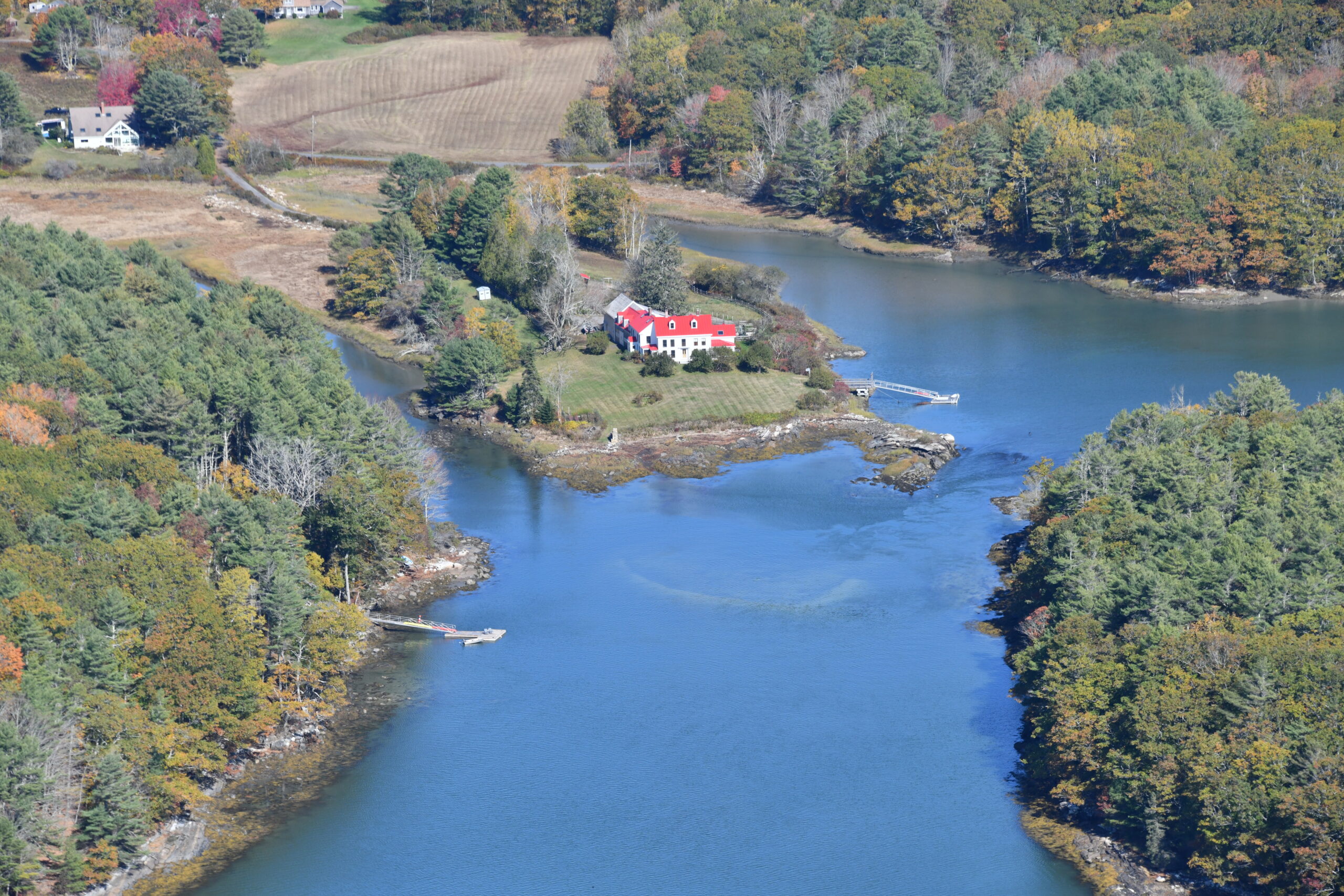
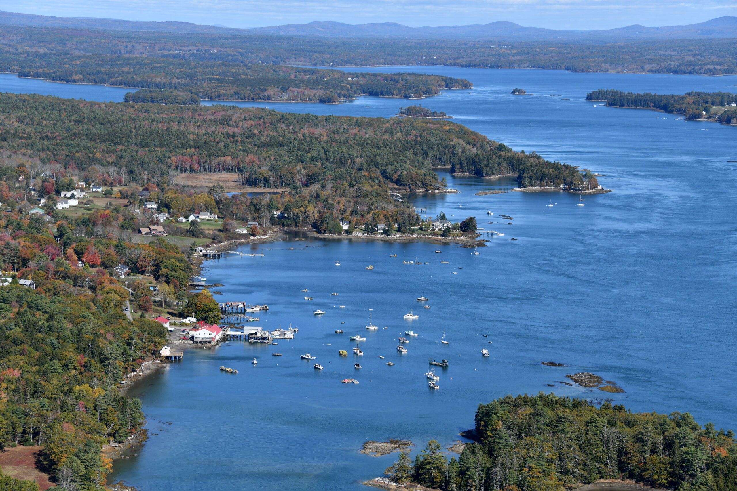
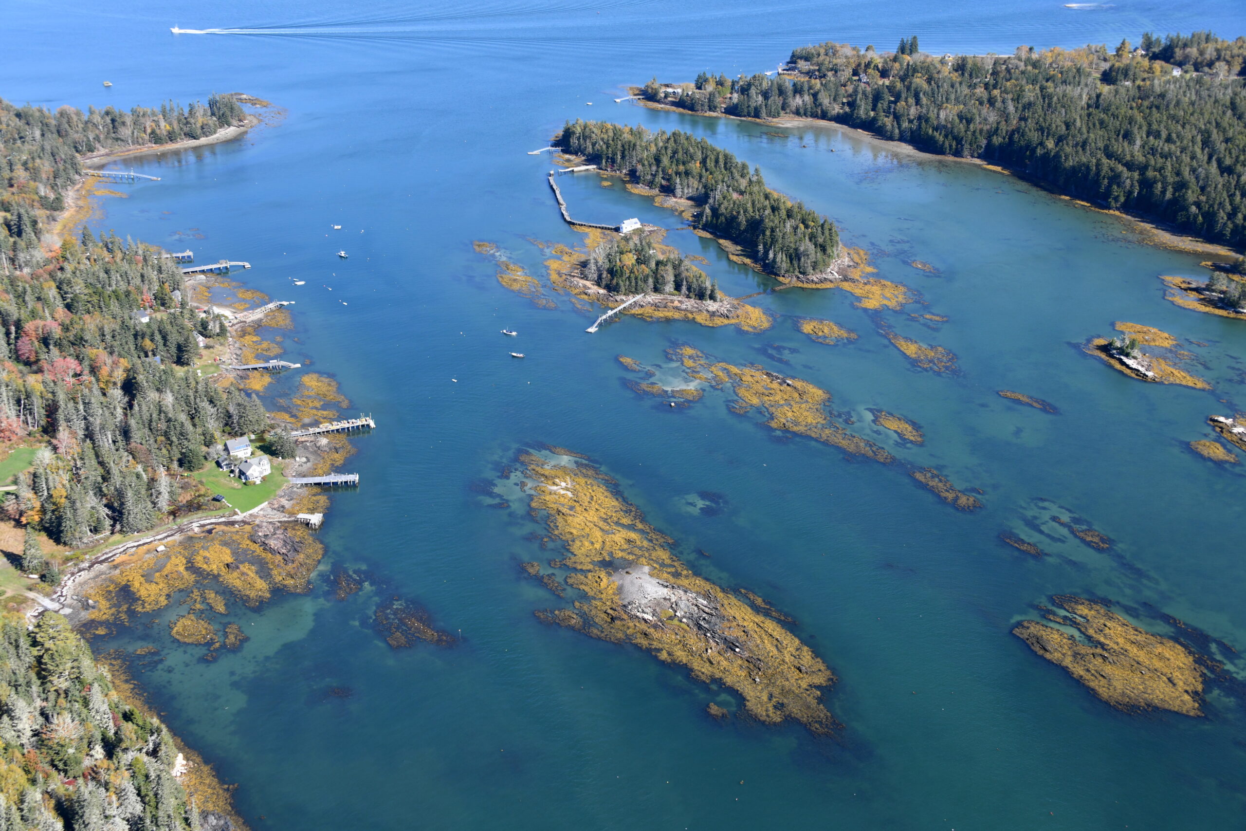
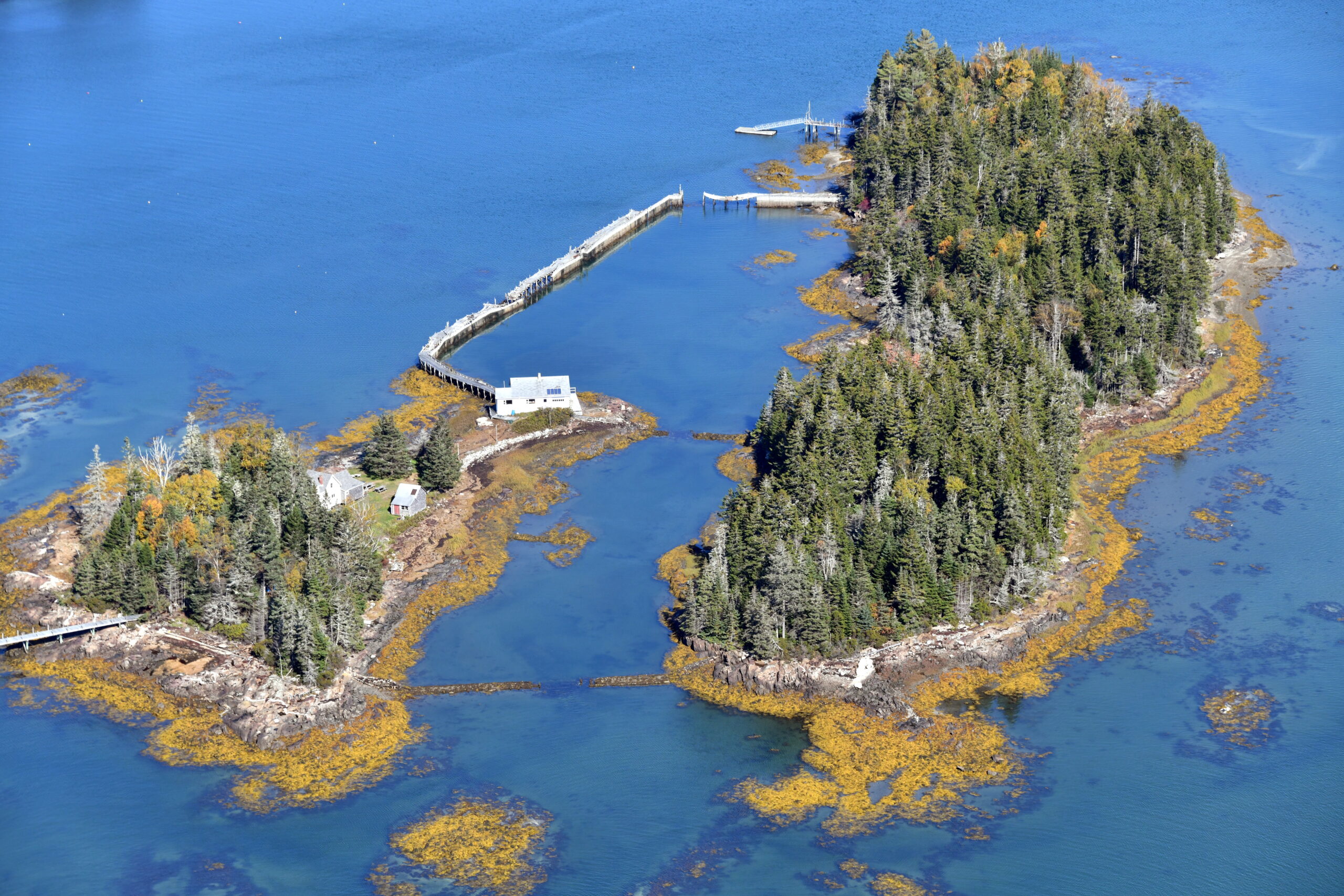
Damariscotta, Maine and down to Muscongus Bay:
Not frosty?
We were stuffed with donuts and coffee from Portland by then!
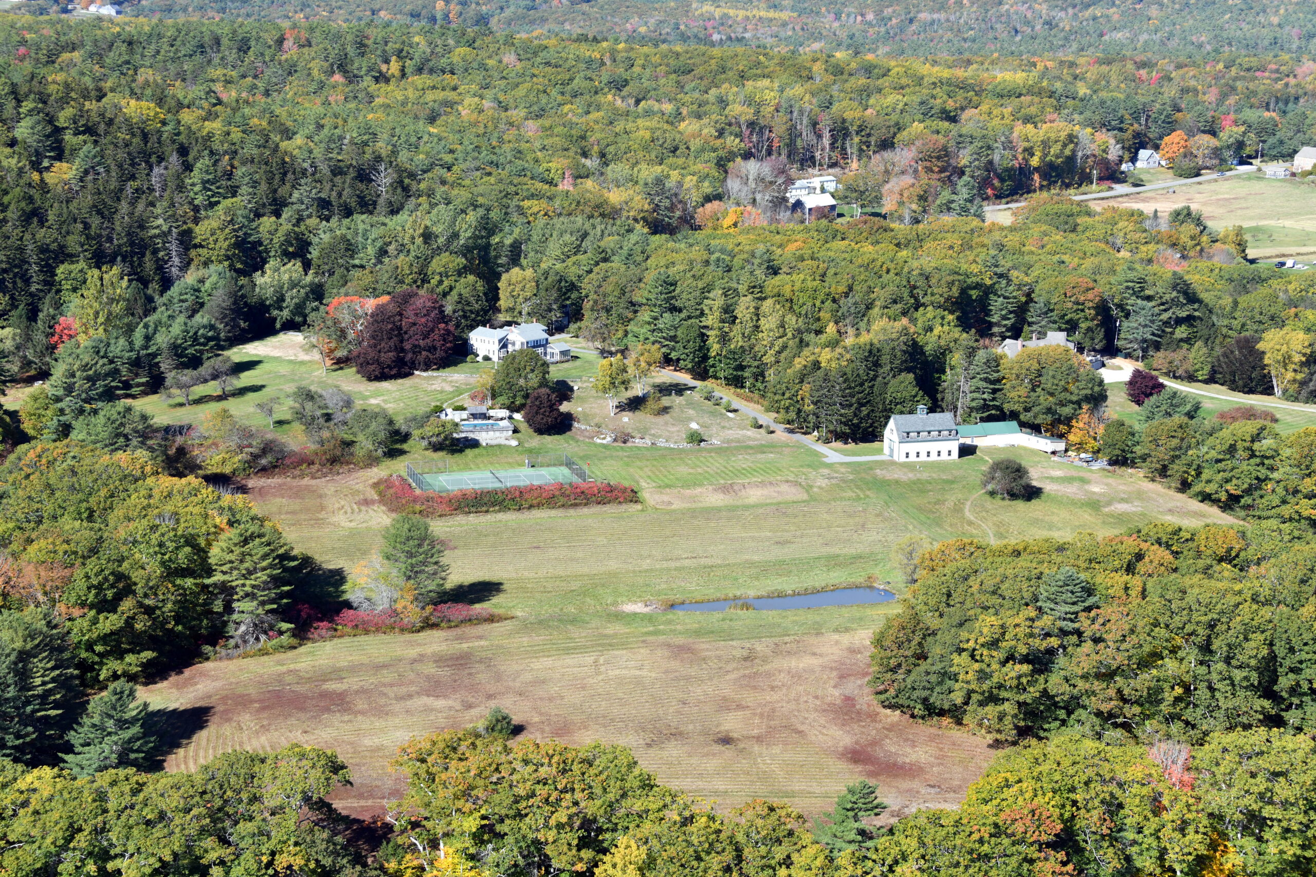
One of these days you’ll have to take a helicopter trip and photograph some of the farmland Bill Gates owns. He’s now the nation’s largest owner. Moo!
https://www.foxbusiness.com/lifestyle/bill-melinda-gates-top-us-farmland-owners-us
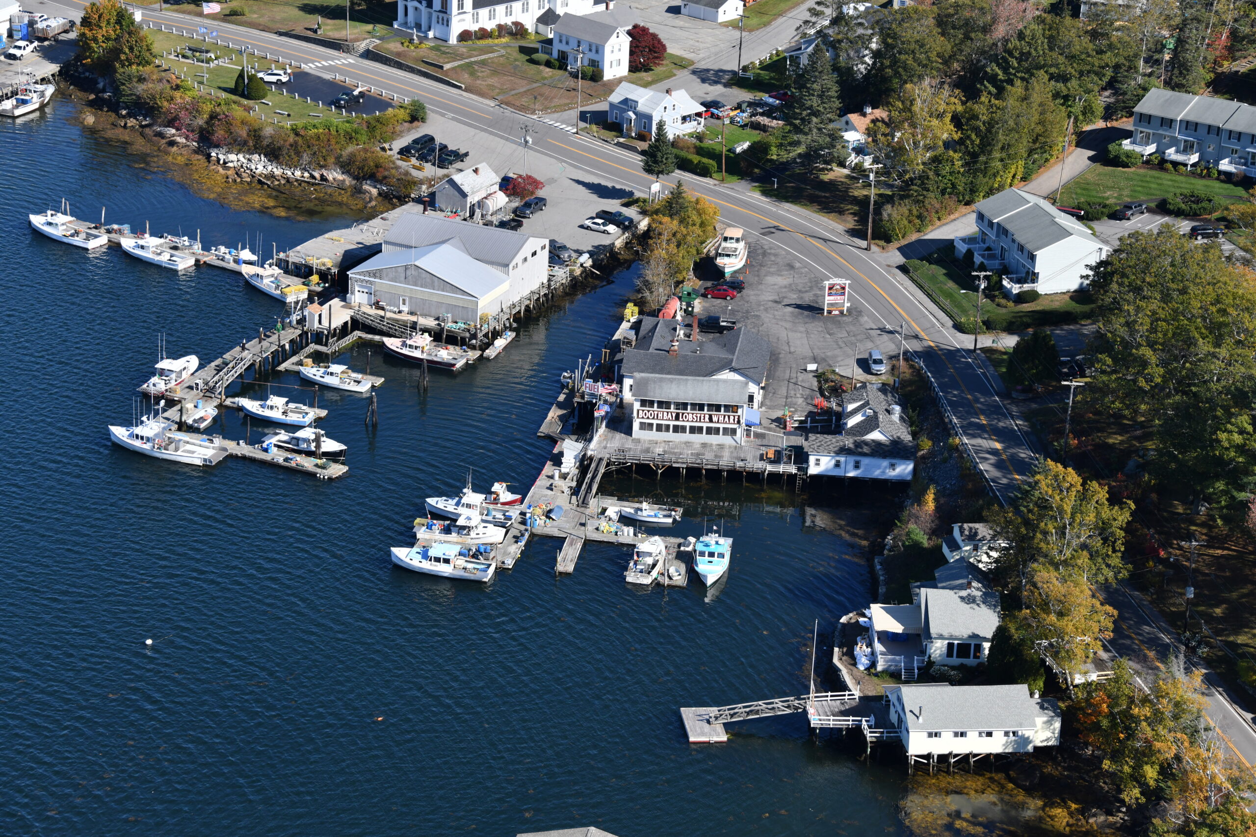
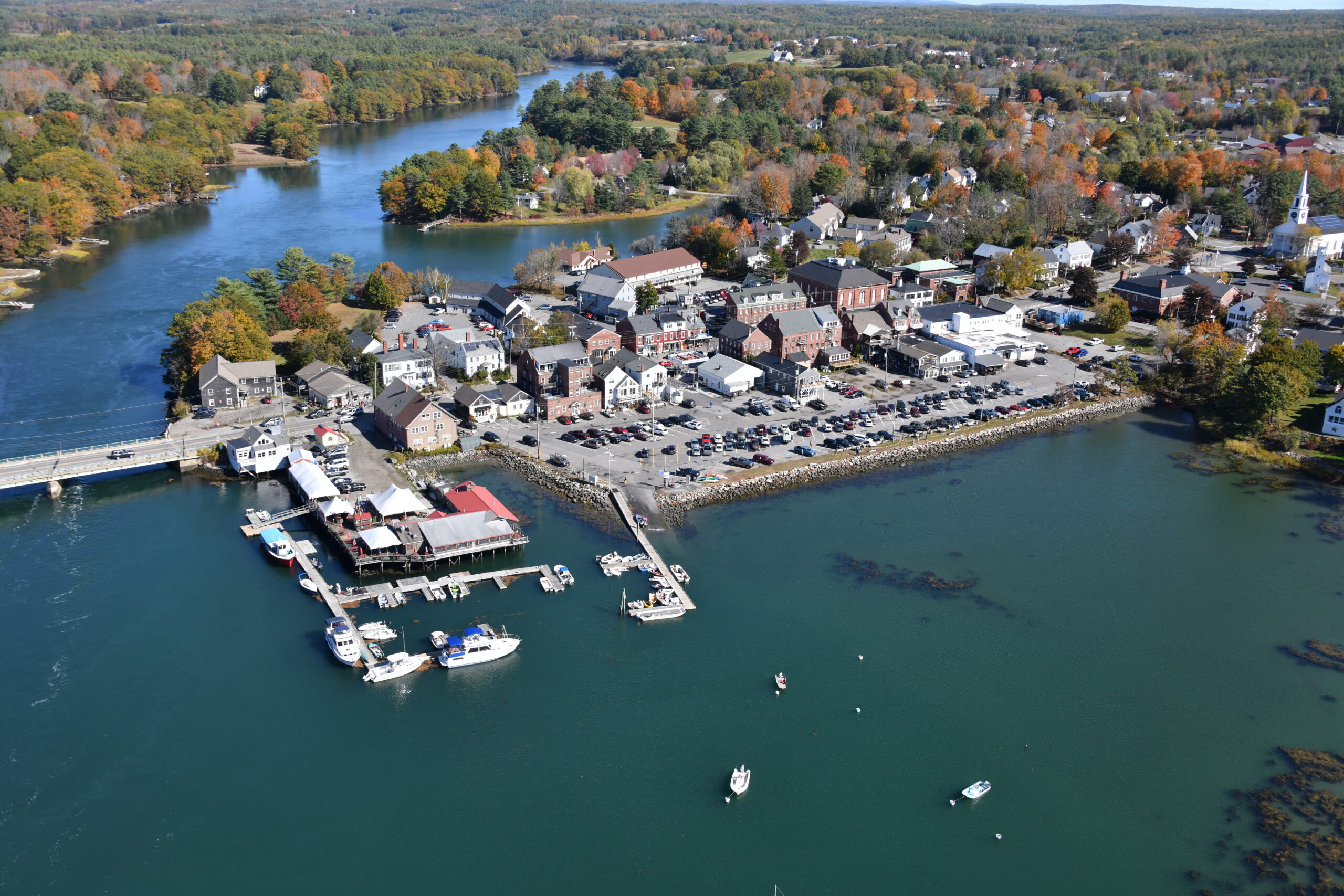
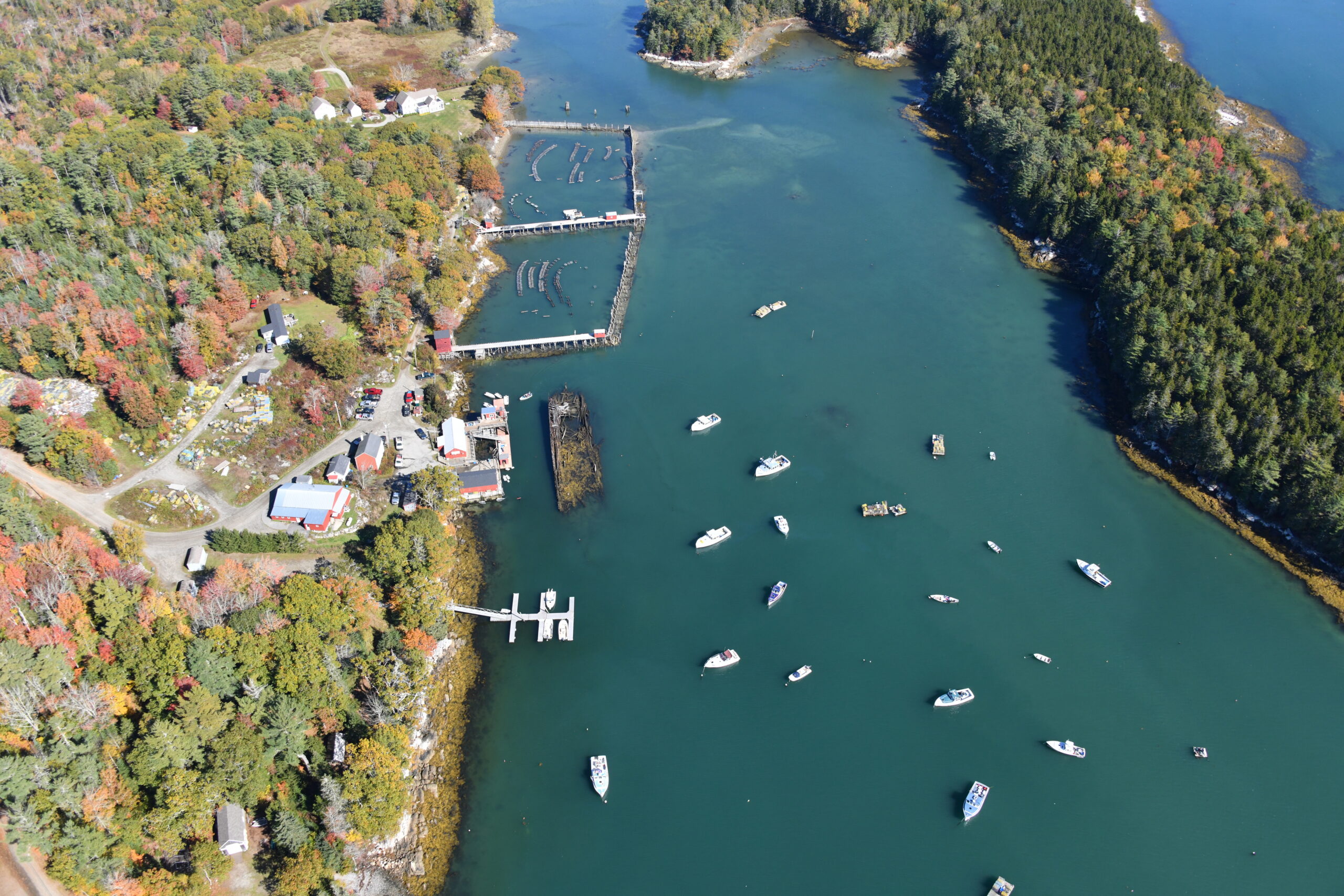
I’ve been to the Boothbay Lobster Wharf (right column, photo 2). Great food, reasonable prices (for seafood of this quality) and I had a good time there. Casual and nonstuffy. Lobster is right off the boat. Recommended.
https://www.boothbaylobsterwharf.com/
Some interesting backstory on the Muscongus Bay sloop, which are iconic commercial and sailing vessels. Individuals out in the water in sailboats with no modern equipment to catch fish for survival. We can’t buy a new Hyundai without “safe exit assist.”
“One person could manage its single-masted rig and haul traps unassisted, yet the boat could carry sizable loads. With an open cockpit aft, and a small forward cabin outfitted with bunks and a stove, it made fishing during cold weather much less arduous than in an open boat.”
https://en.wikipedia.org/wiki/Friendship_Sloop
If you dig a little deeper into the history of the Muscongus Bay region you find this man:
https://en.wikipedia.org/wiki/Marcus_Hanna_(lighthouse_keeper)
“He is the only person in history to have received both the Medal of Honor and the Gold Lifesaving Medal.”
I’ve looked but I don’t see the Permaquid Point Lighthouse in these photos.
https://en.wikipedia.org/wiki/Pemaquid_Point_Light
What are long strings of floats? floating marina?