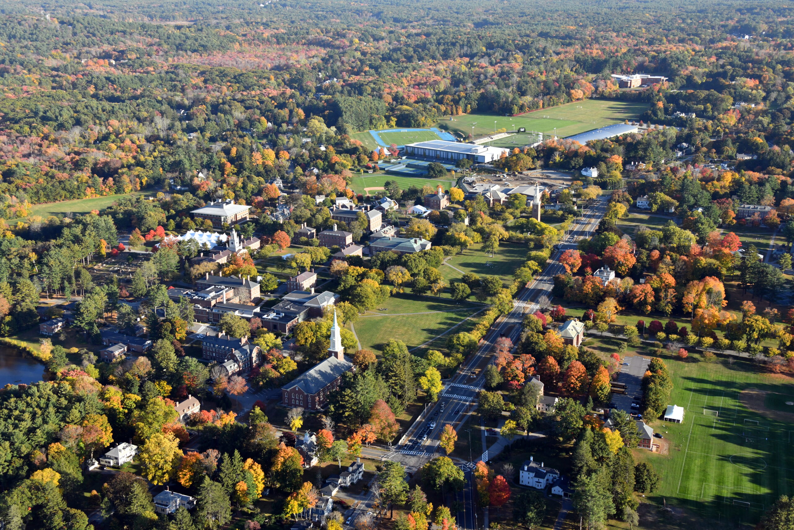
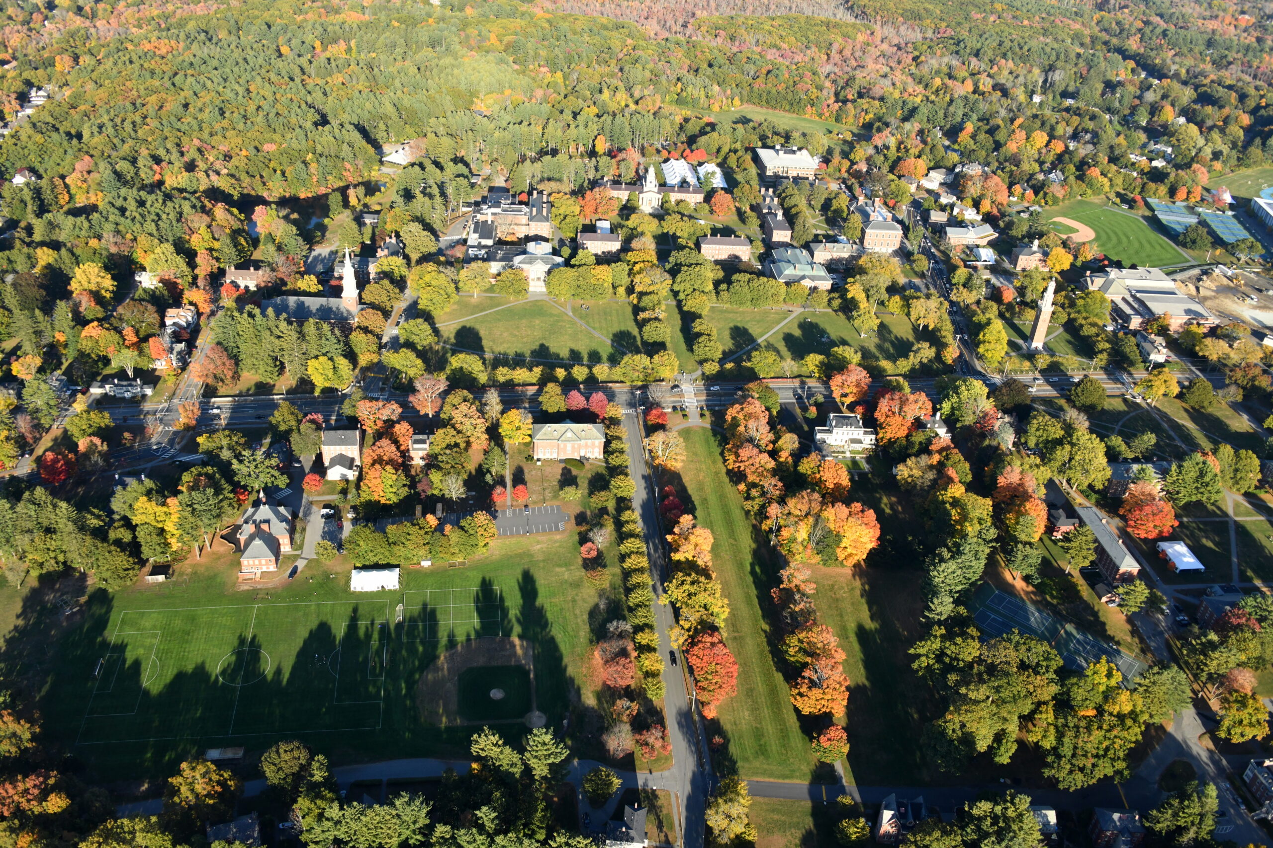
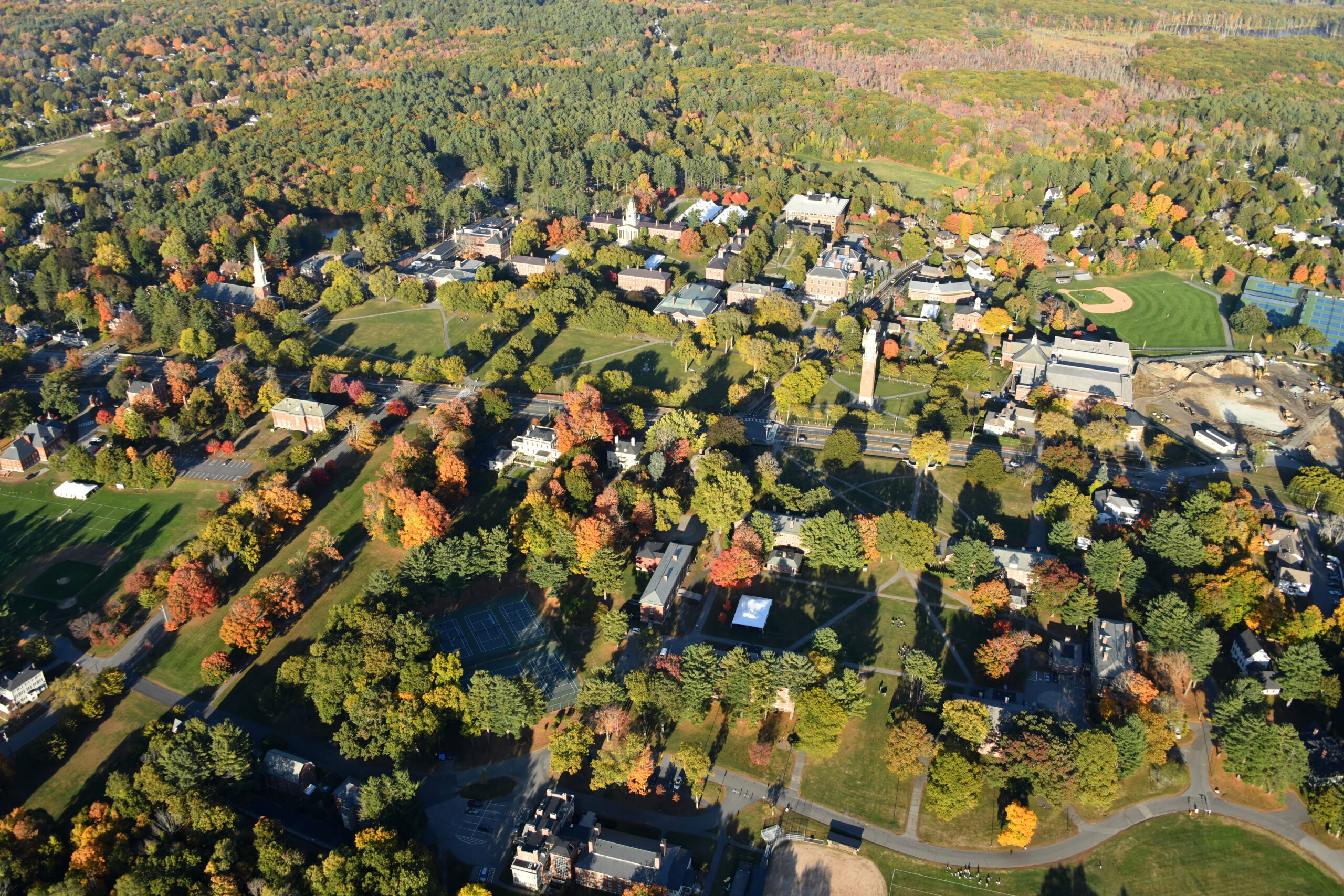
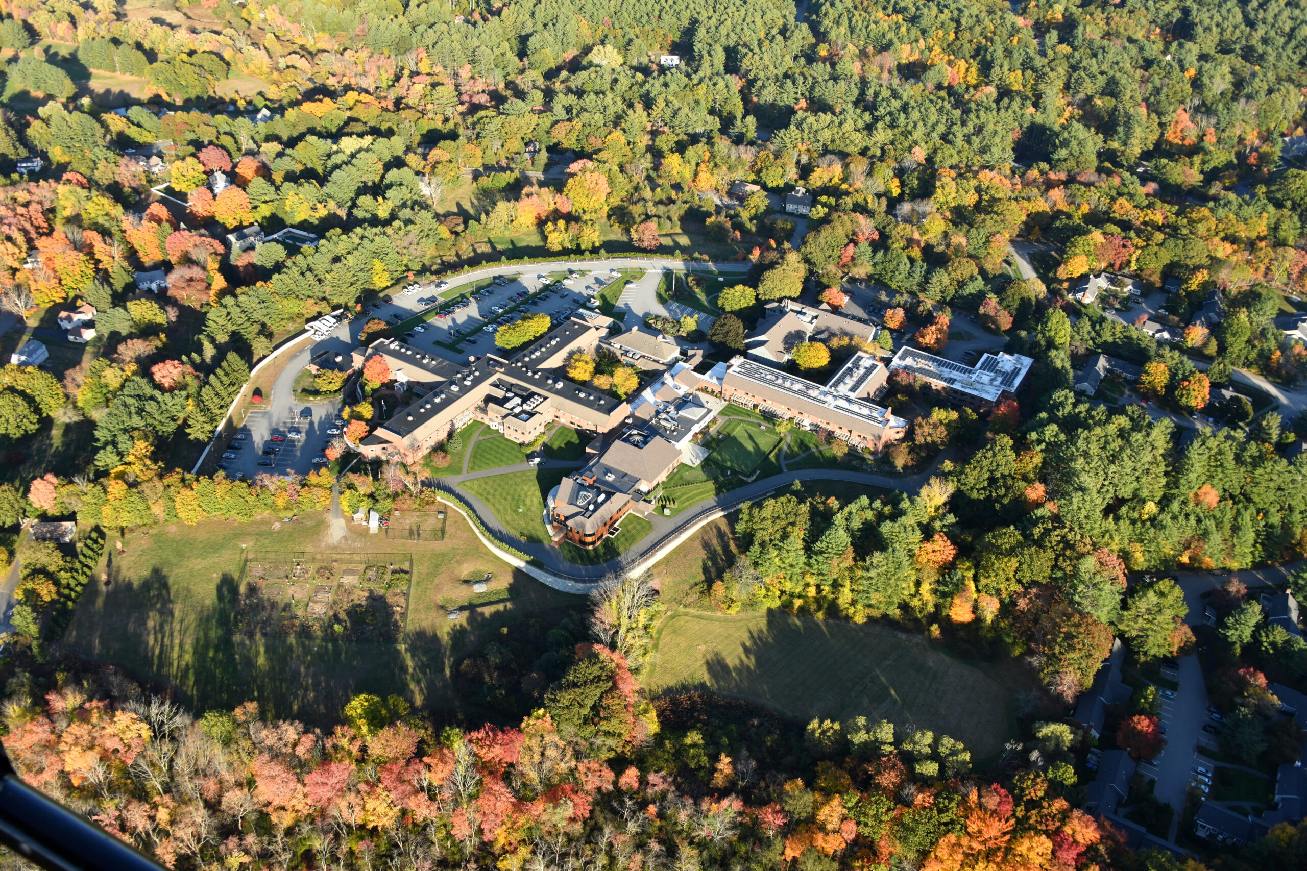
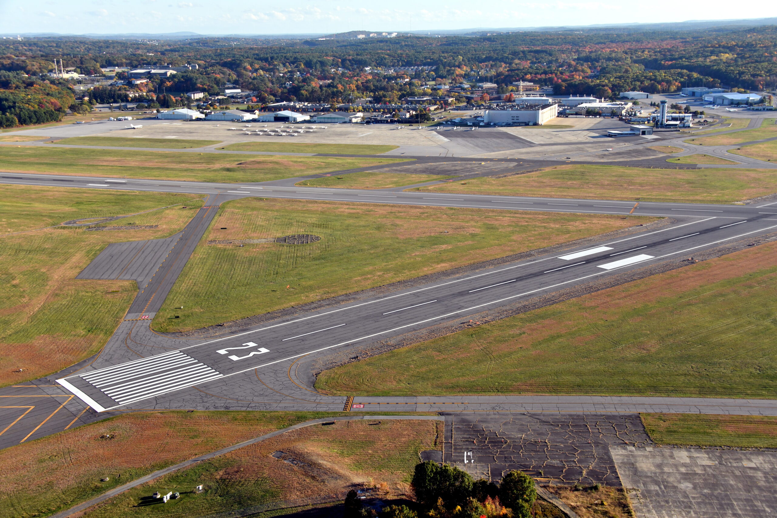
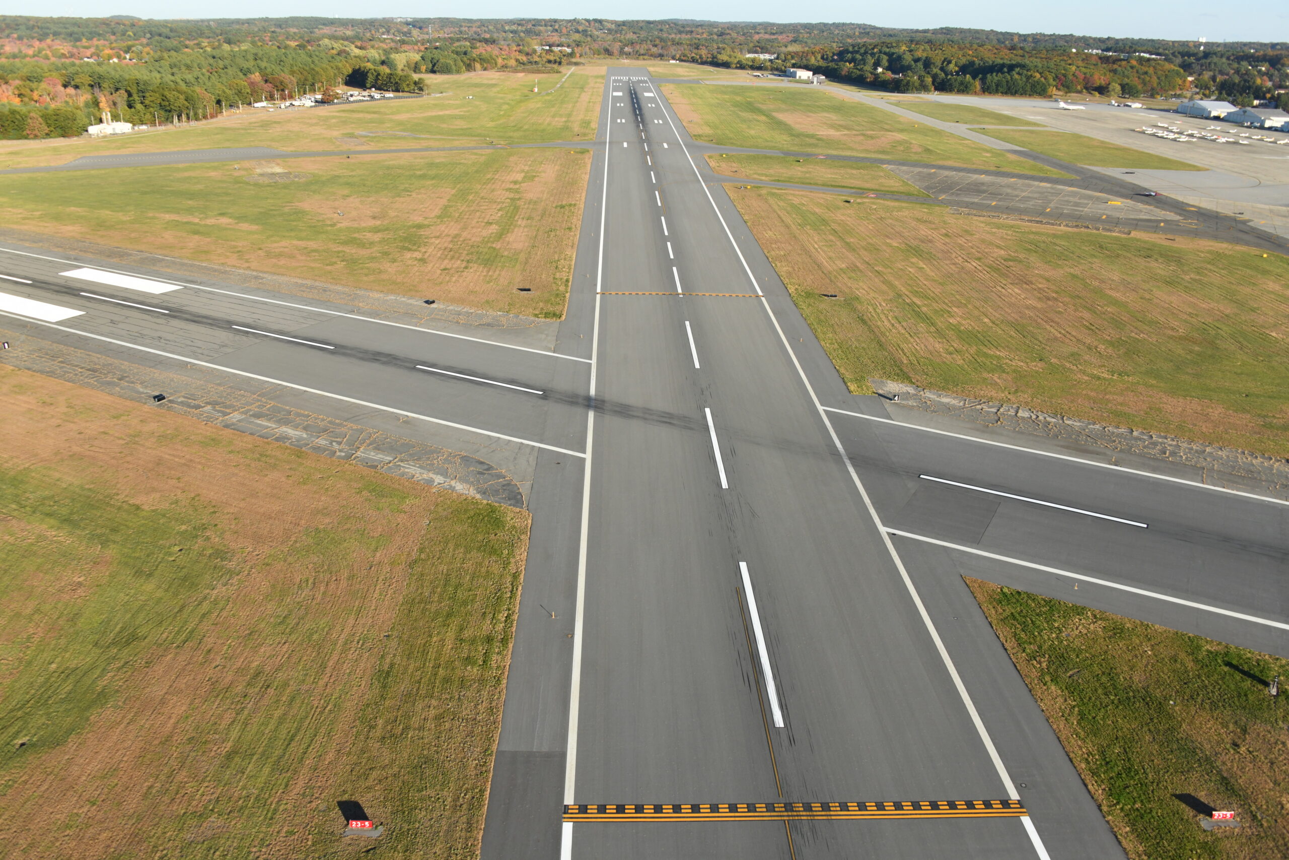
Readers will be relieved to learn that this is the last in the series of New Hampshire and Maine coastal aerial photos. This batch goes from Portsmouth, New Hampshire over the rich kids’ Phillips Academy Andover and to our home base, East Coast Aero Club at Hanscom Field.
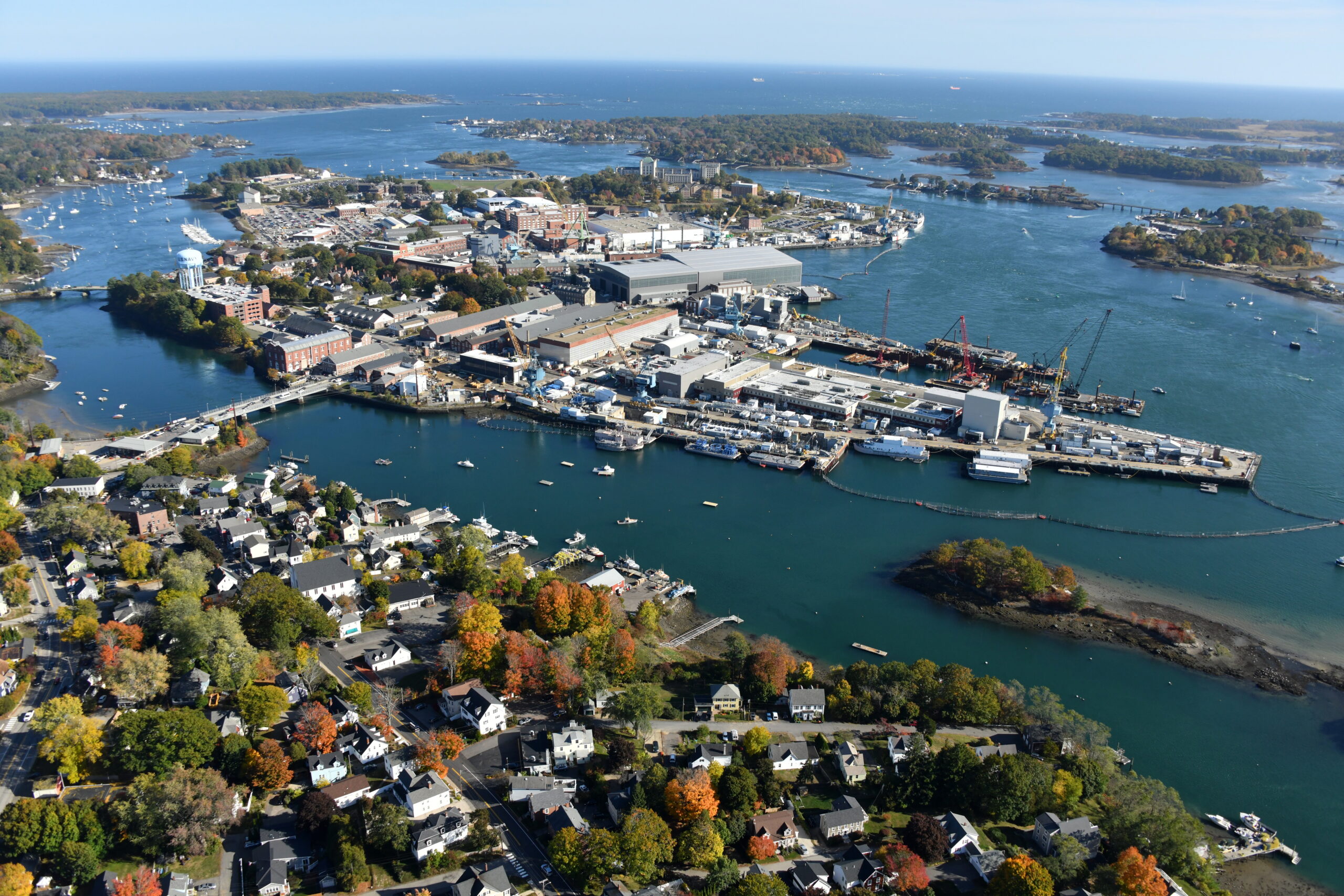
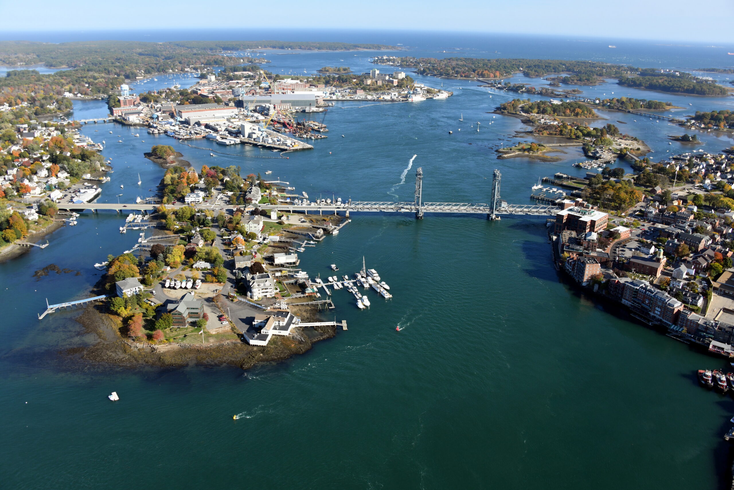
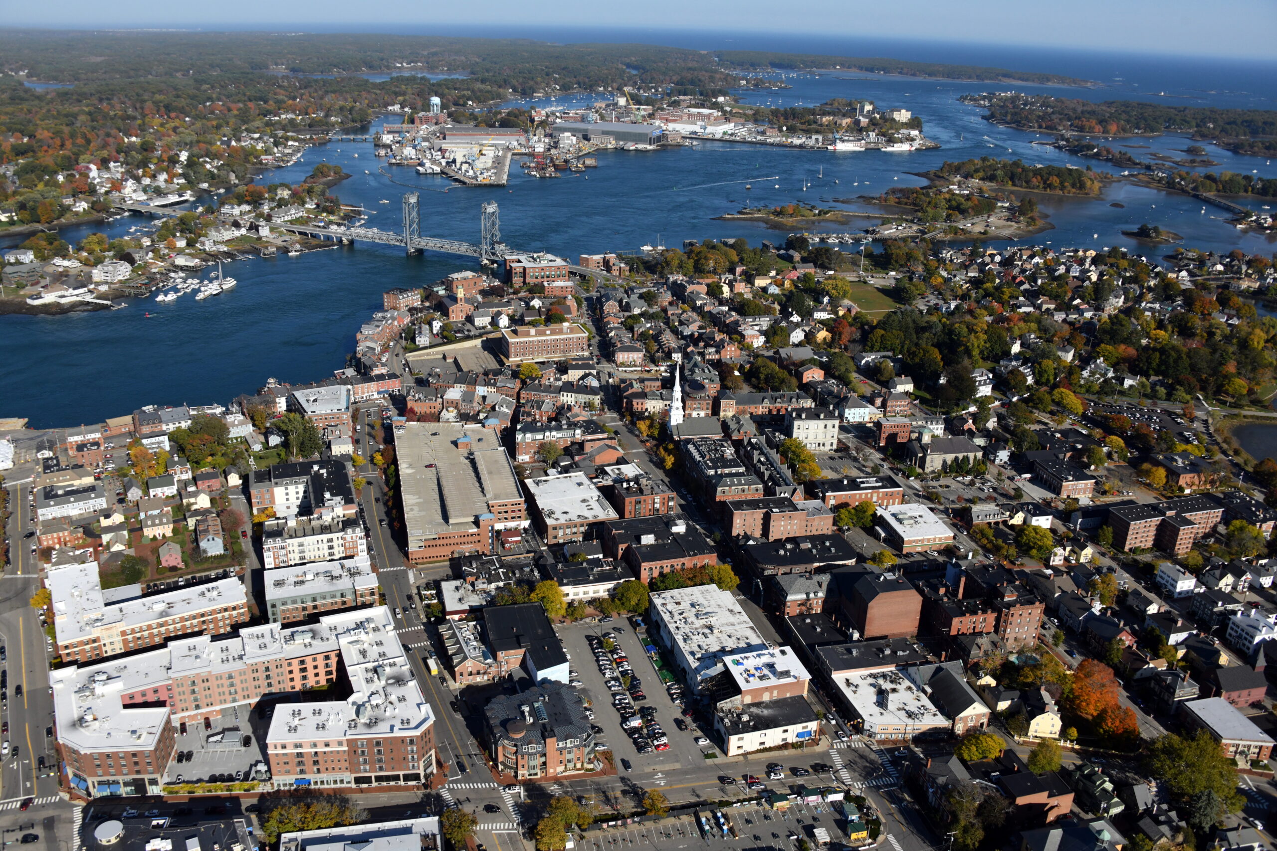
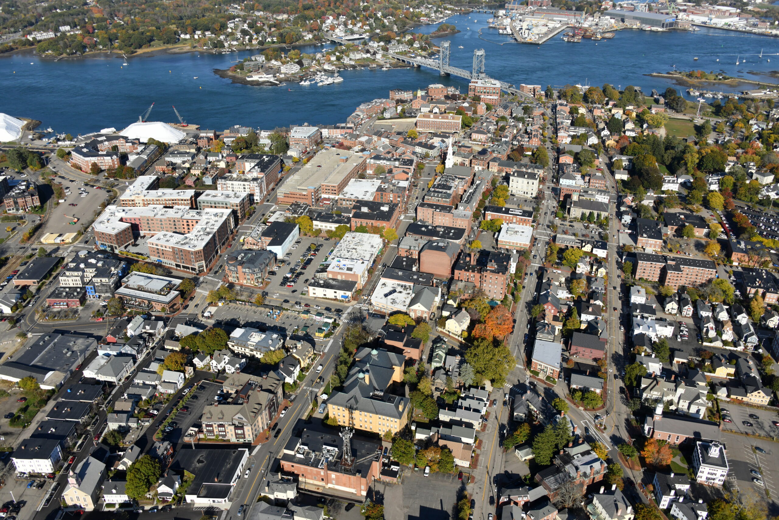


From our Boston to Bar Harbor, Maine trip in a Robinson R44 helicopter. Tony Cammarata was in back with a door removed and a Nikon D850. Instrument student Vince Dorow and I were flying.
Also available as a streaming 8K video.
Thanks to Rob Brigham and the ECAC maintenance crew for a squawk-free helicopter trip!
excellent book set on New Hampshire coast:https://en.wikipedia.org/wiki/The_Pilot%27s_Wife
since armchair travel is the only form of travel for most of us at the moment
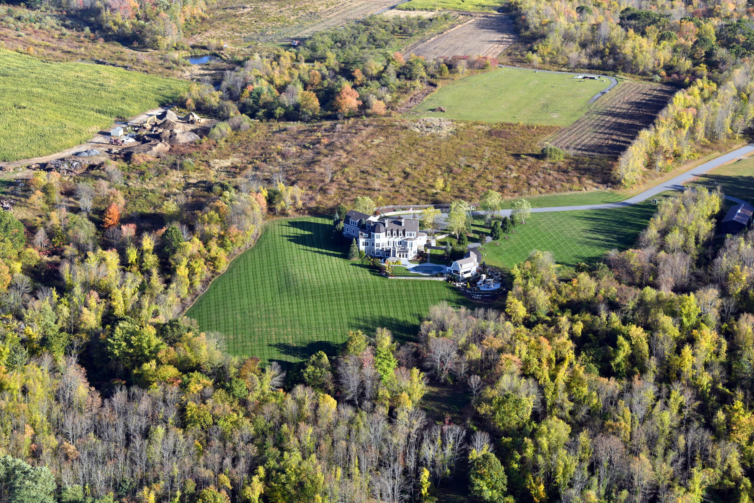
I am not relieved, I enjoyed seeing lots of interesting houses, well-photographed.
After seeing (almost) all of them, I’d like to say thank you again. I think they’re a great contribution to the photojournalism of the area you covered. Tons better than Google Street View or Satellite, and they filled a lot of gaps in my personal knowledge of the area.
Questions/Comments (I apologize if you’ve answered already and I didn’t see your answer):
1) If I wanted to use one or more of these images in a commercial print project, who should I talk to regarding copyright policy?
2) In some ways, your presentation here on the blog shows some of the shortcomings of presenting them this way. I know you’ve made the video, but will you be publishing the collection in any other form?
3) Do you have any notes or additional information on the photos that could accompany them later? I realize your photographer was probably too busy to takes notes doing such fantastic camera work.
But overall, these photos are mind-blowing. They really show what 23rd-century camera technology can accomplish from a helicopter, once the Captain ignores Non Interference Directive. 😉 Congratulations to the entire crew!
Or, in #1 above: “Whom should I talk to?” Lol.
Copyright? All belongs to Tony so contact him via the link.
I have enjoyed these posts. The picture quality is outstanding. I really enjoy zooming in for all the detail. How is it that you take such clear photos form a moving air plane or helicopter? I imagine you are taking these pics from an open window. Any special gear, or is a steady hand sufficient to avoid blur? What lens and camera do you use?
Two thoughts:
1) Some functionality to browse these great high resolution pics, maybe a slideshow, would be preferable to clicking each pic and then clicking back to get to the web page.
2) An additional descriptive caption for each photo would be nice to know what we are looking at, in addition to the general description given in the post.
M: Tony’s door was removed from the helicopter. He uses a Nikon D850, usually at a shutter speed of 1/1000th or 1/1250th to eliminate camera/helicopter shake.
It would be nice if the WordPress gallery code enabled scrolling. Maybe a future release will add this automatically.
Captioning 800+ images is a lot of work! There are lat/longs embedded in most.
Also: What was the total flight time to get them all?
Total flight time? Maybe 8 hours. Two long days and some heavy turbulence on the last section from Portland to Bedford. 40-50 knot headwind.
I am relieved to not be reminded of how poor and ugly my house is.
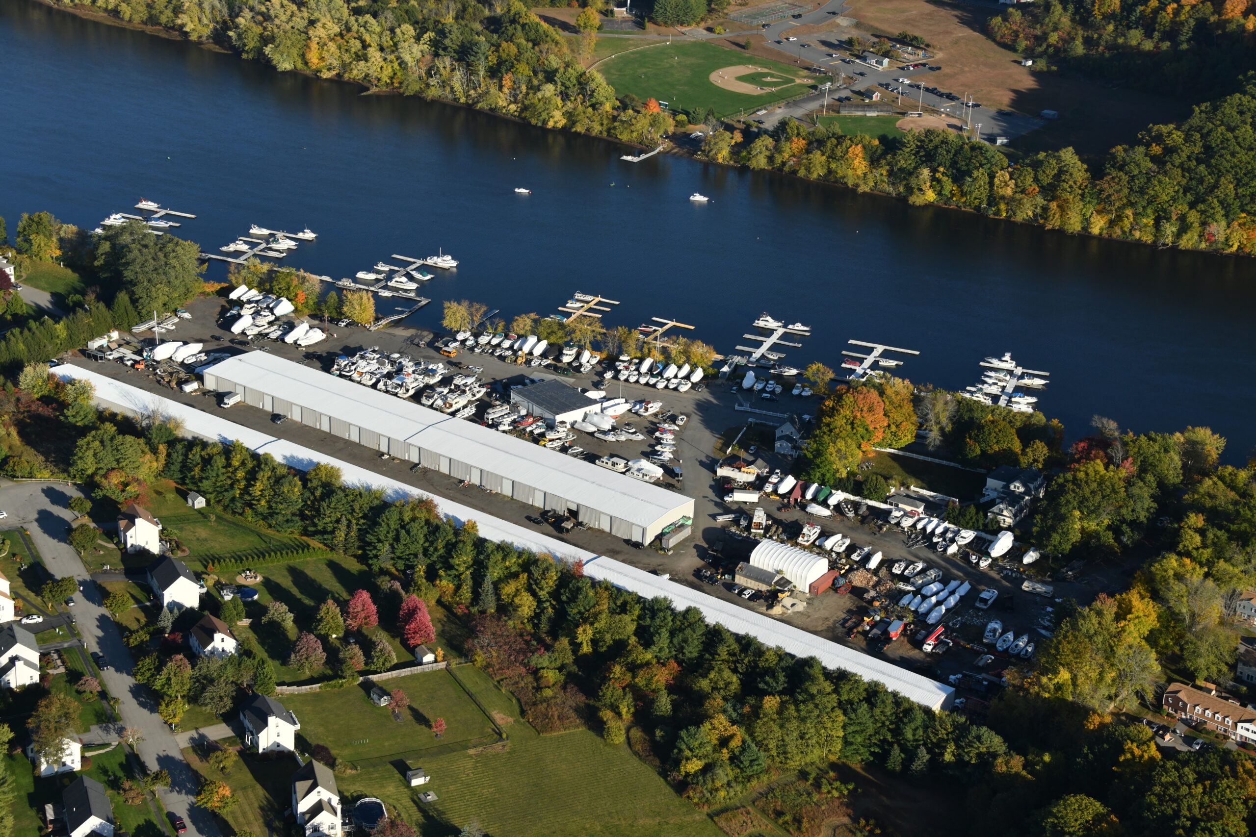
Finally, I don’t know how it is year-over-year or historically, because I don’t own one, but I was just floored by the volume of recreational boaters out there on the water or parked in their slips in all these photos. Even in October, which I would think is a little late in the season, there were tons of boats. And most of the waterways look pristine! I’ve always known there was a big chunk of wealth tied up in recreational boating, but these photos really brought that home.