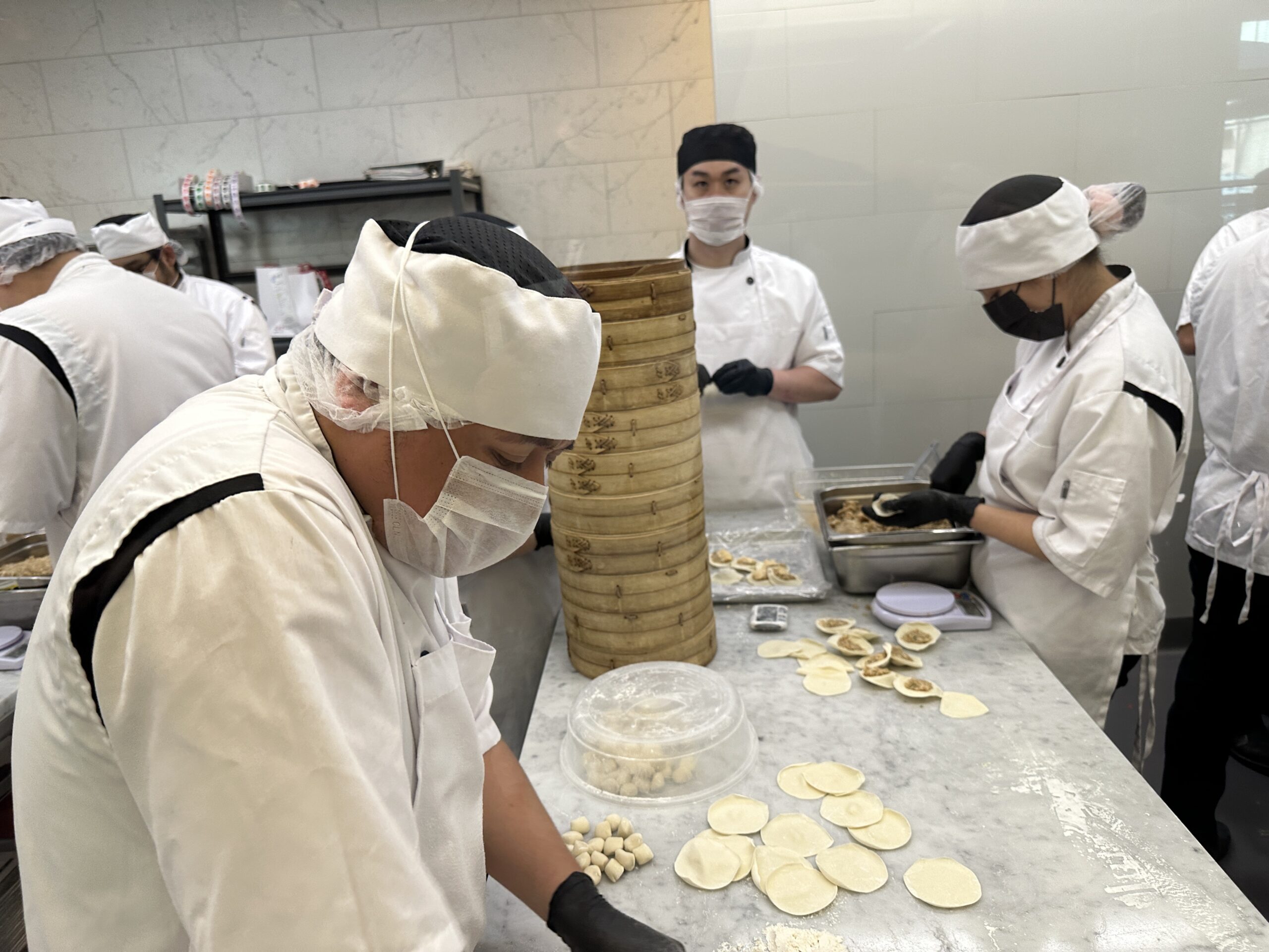
Nutrition is critical for any coast-to-coast helicopter flight. I loaded up on dim sum at Din Tai Fung in a Costa Mesa mall, then paid only $13 for a few strawberries at Hannam Chain in our inflation-free economy. The folks who run the supermarket are Korean and had neglected to boycott the Zionist entity:


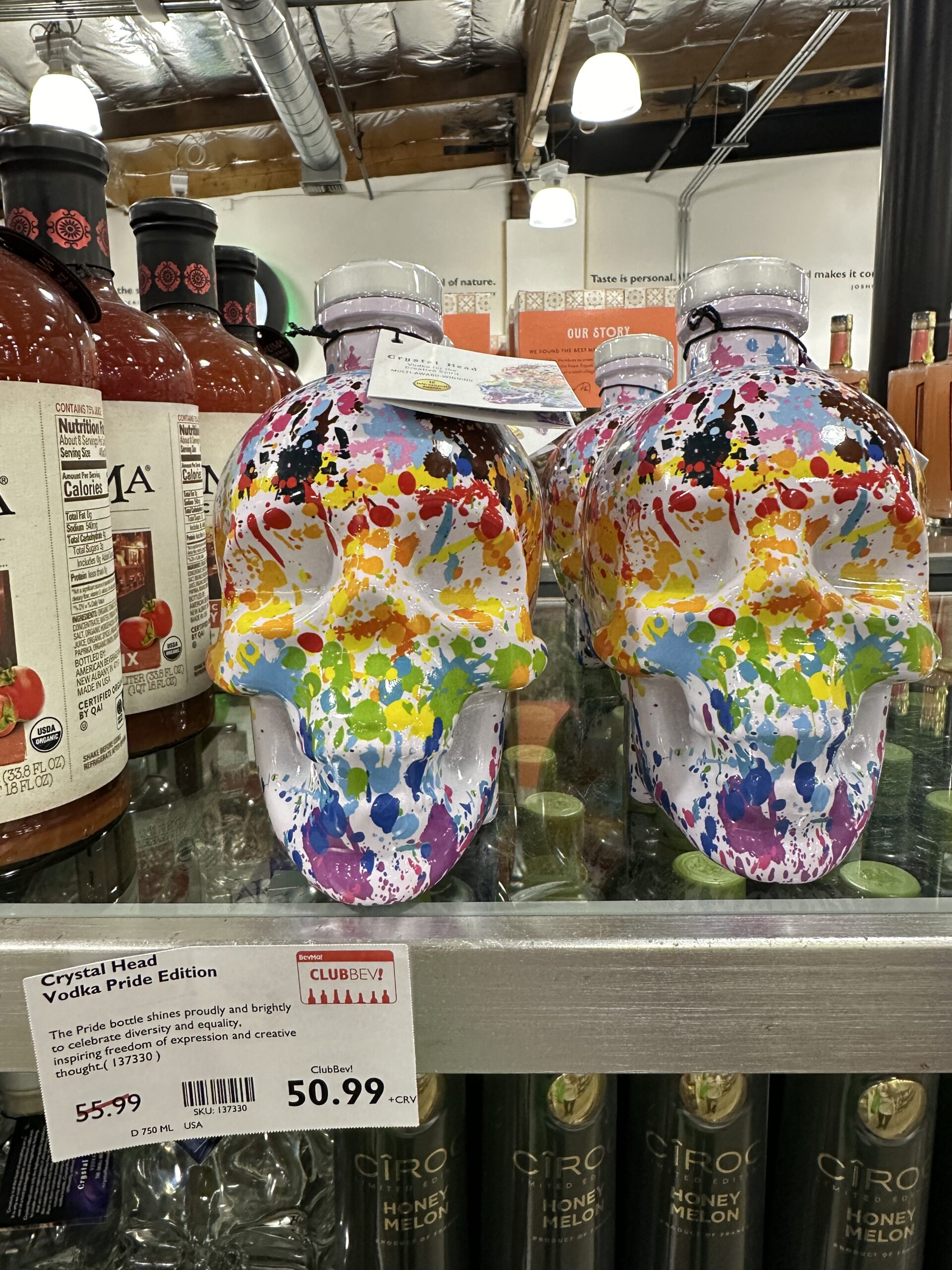
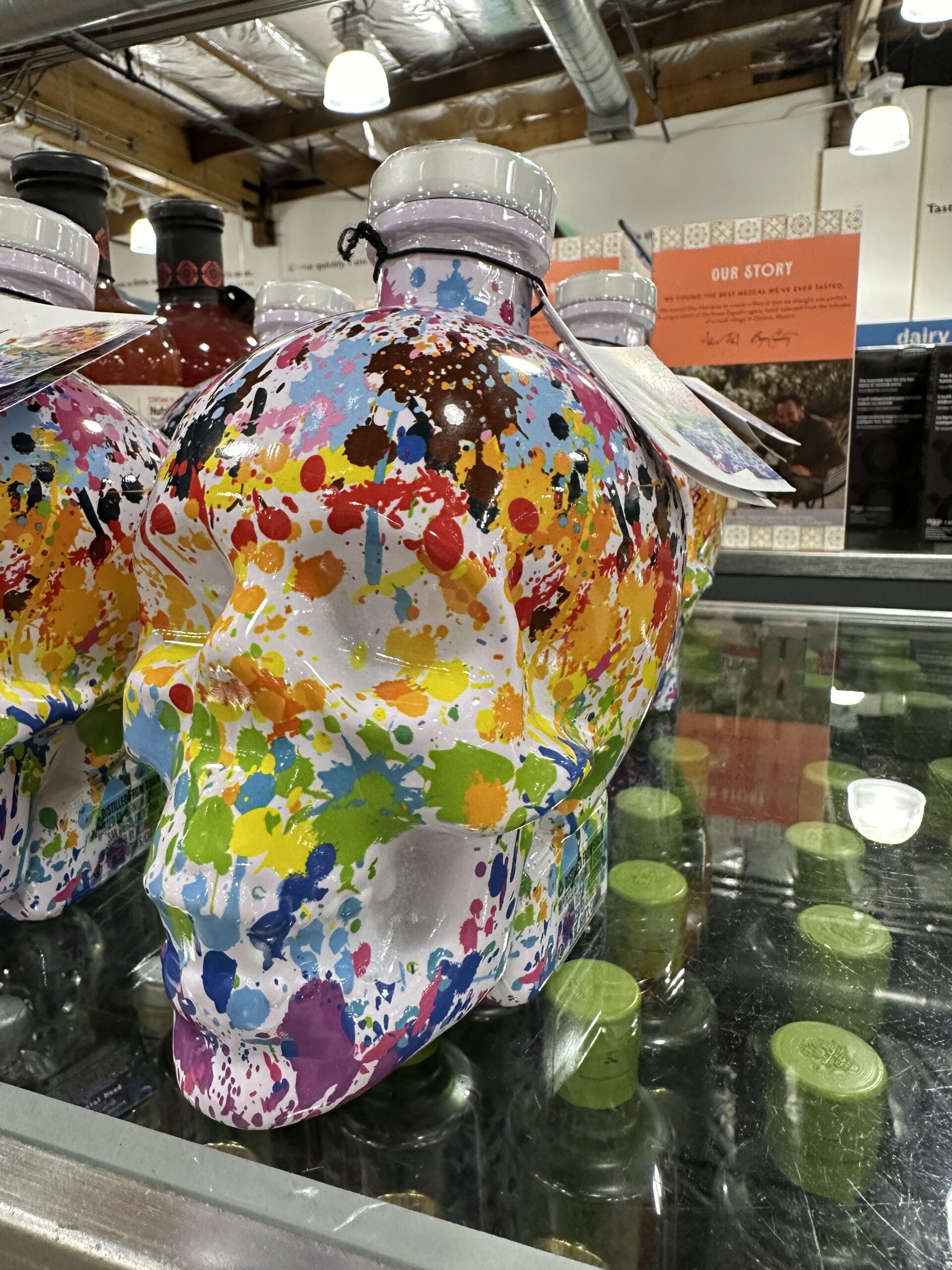
I decided to skip the rainbow flag worship at the liquor store next door to the supermarket:
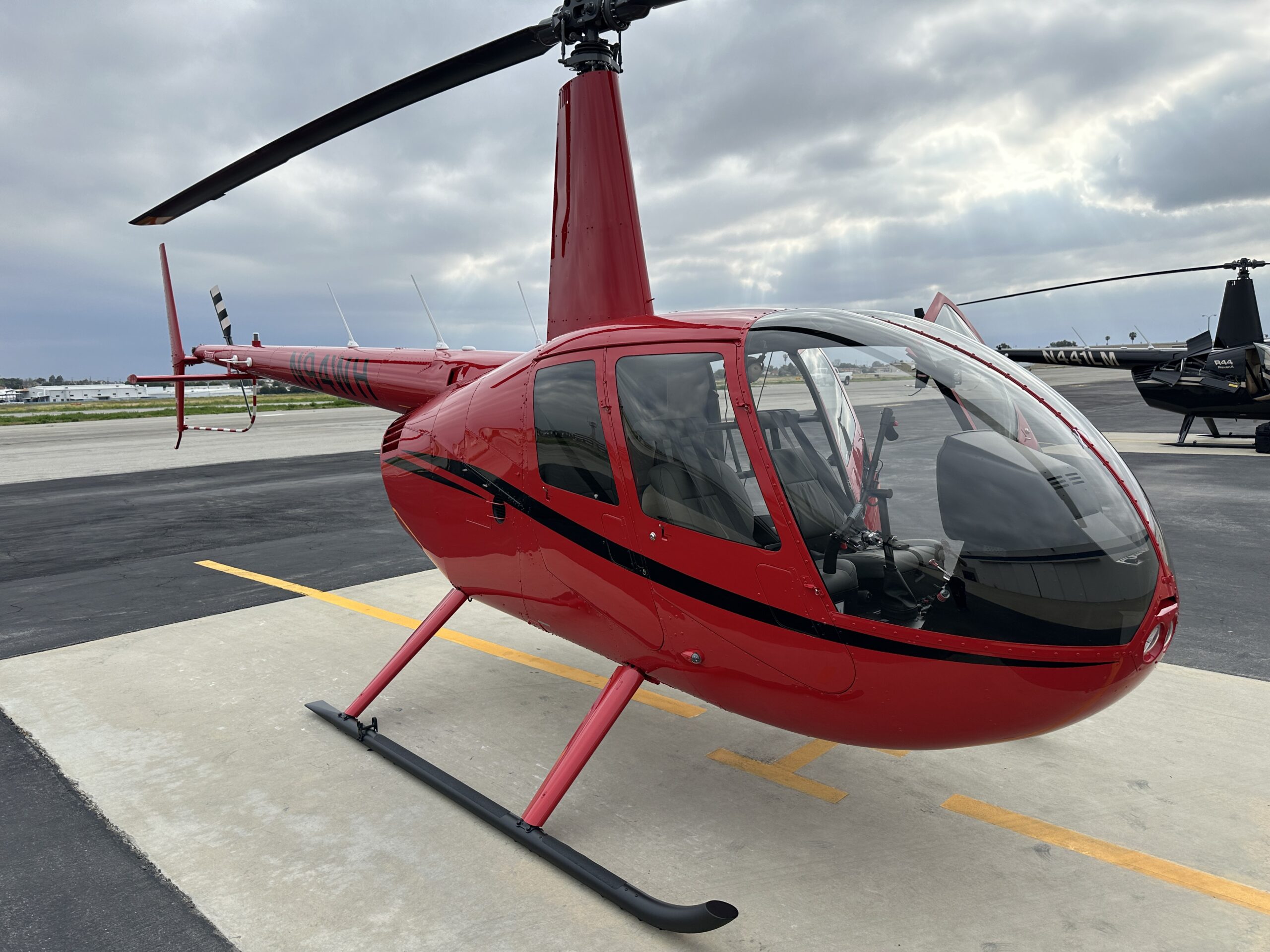
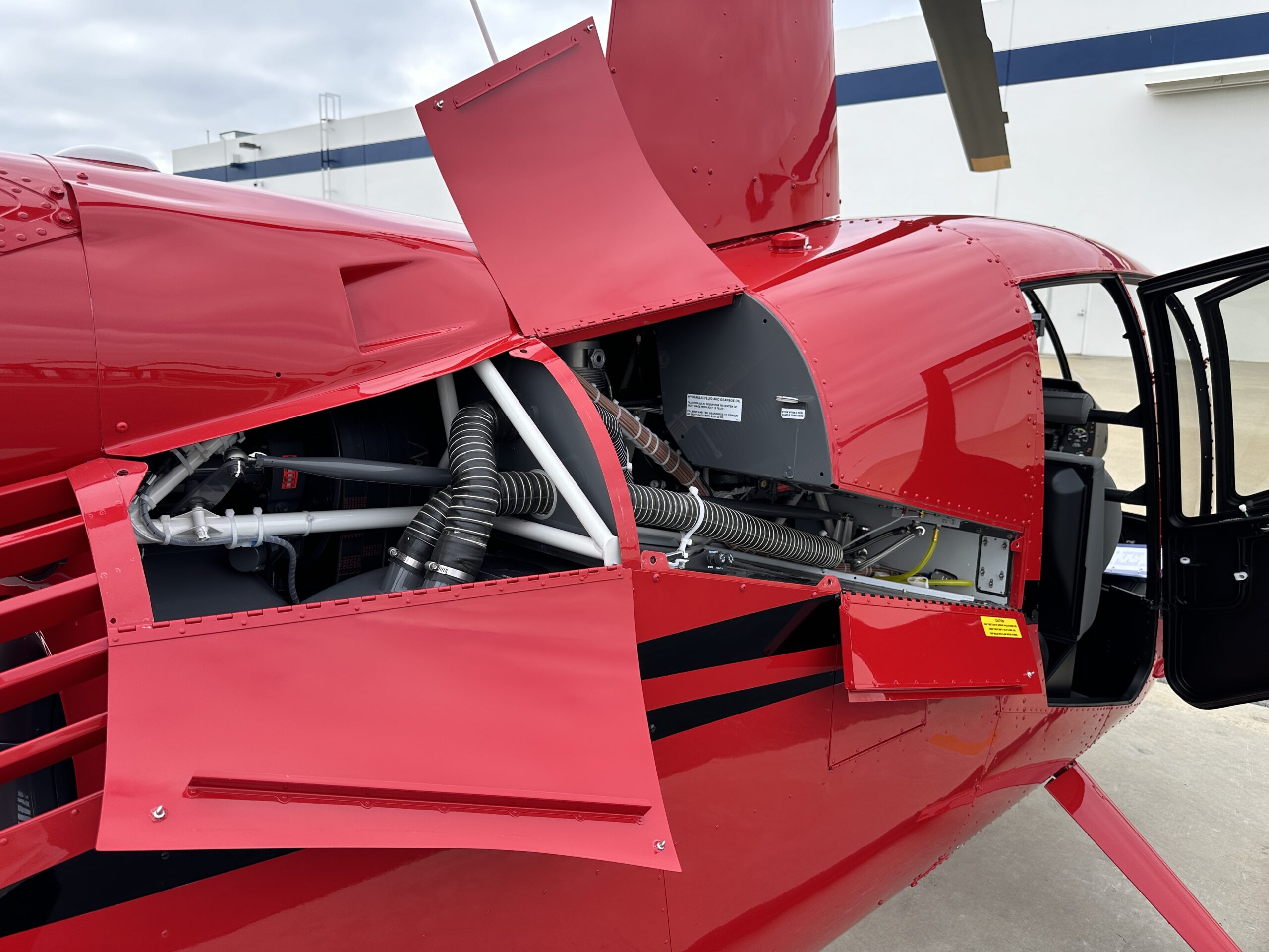
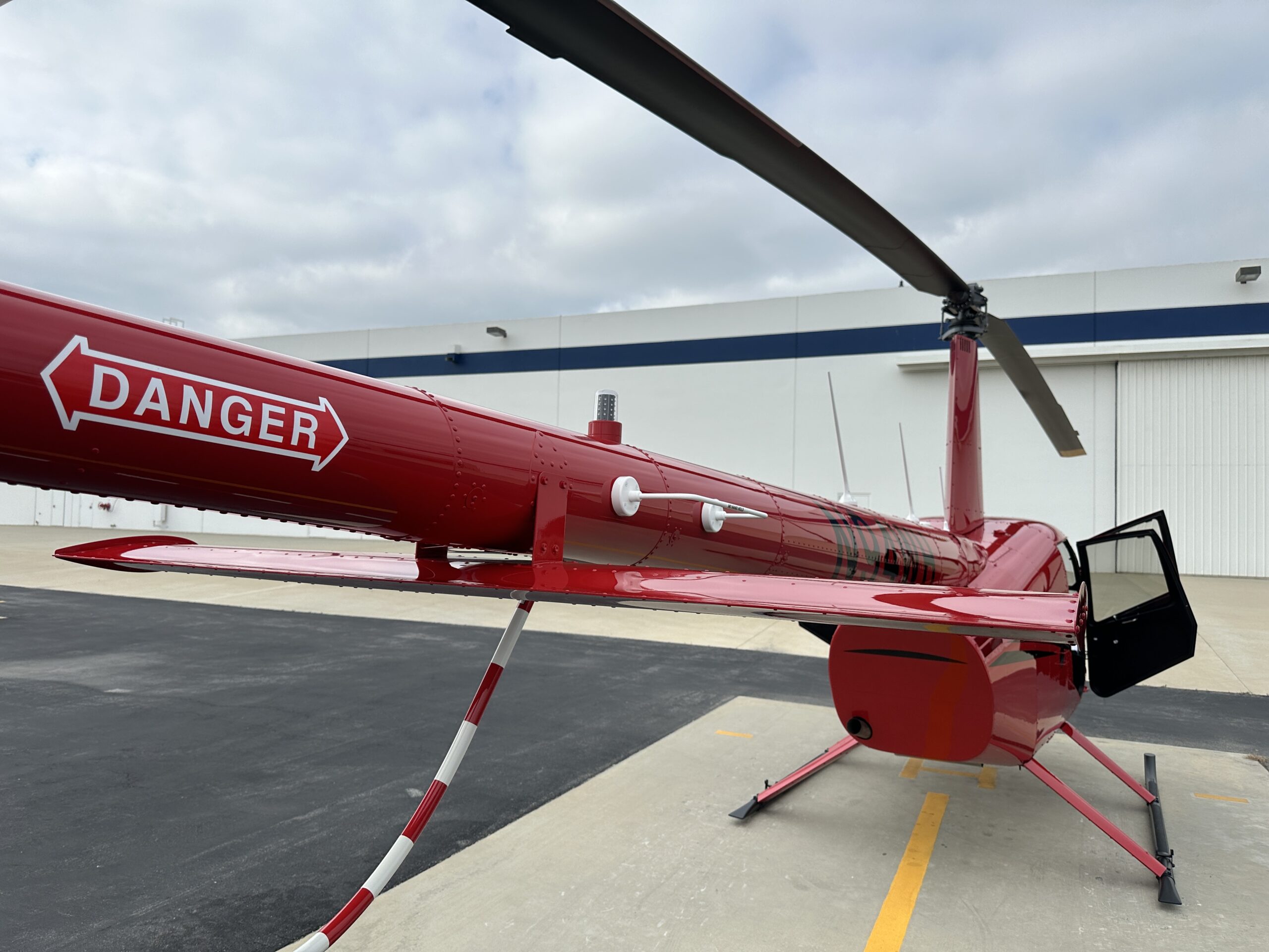
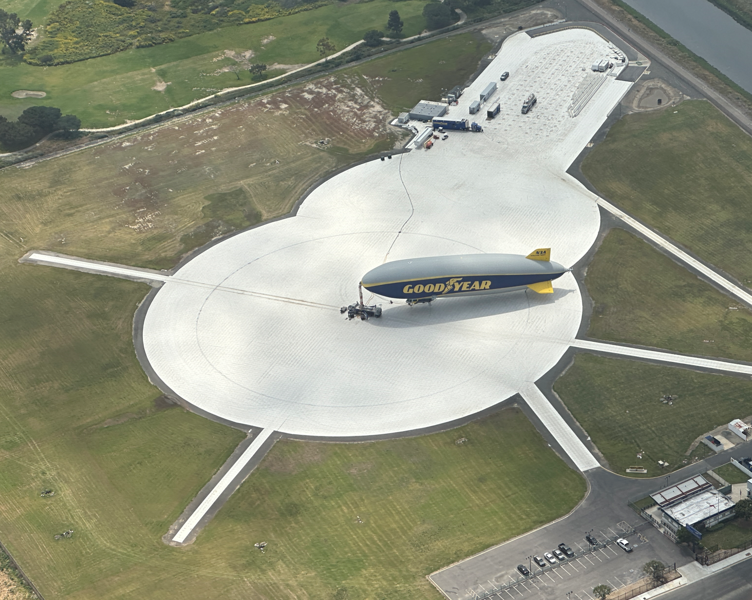
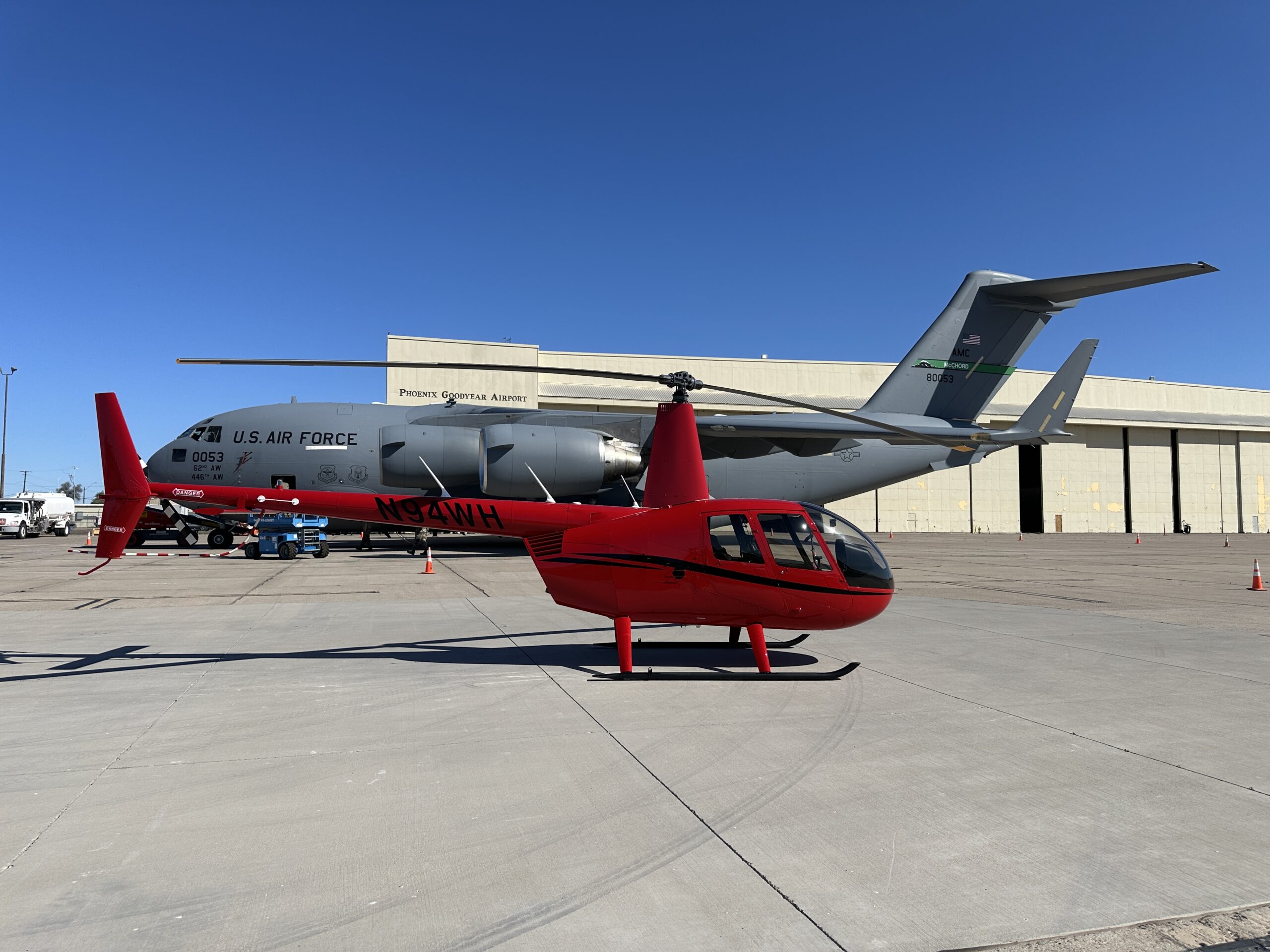
Our machine was waiting for us on the Robinson ramp in Torrance (KTOA), but the marine layer prevented departure prior to 11:30 am. Note the new horizontal stabilizer, not in any way resembling a Bell 206…
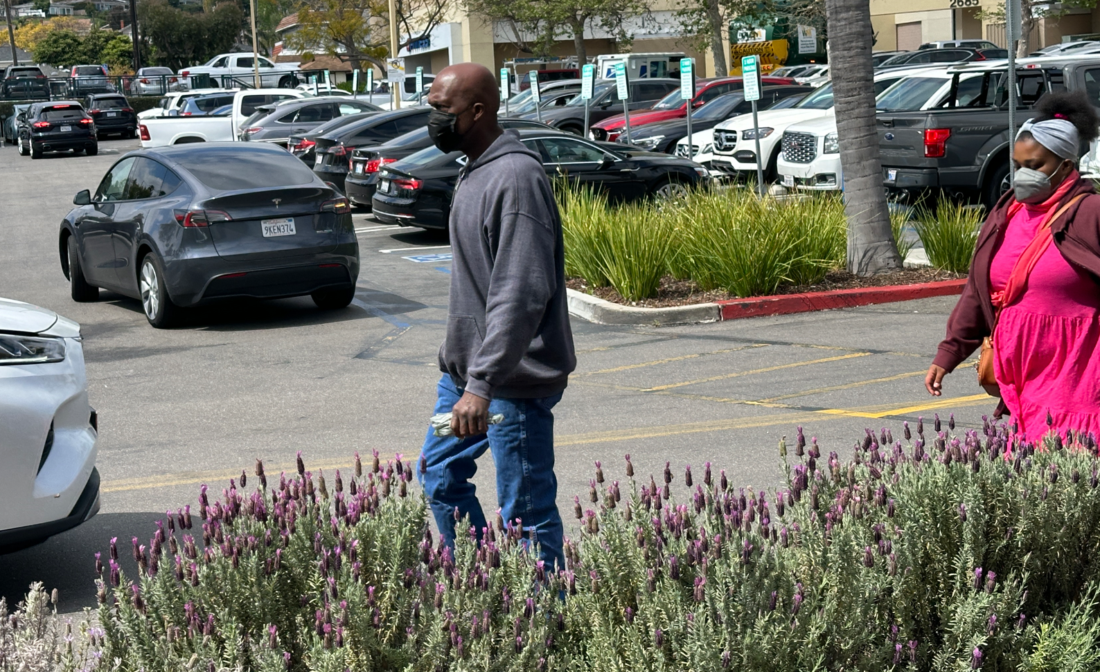
That gave us time to stock up on snacks at the nearby Whole Foods. The scene out front showed California at its best: outdoor maskers and a planet-saving Tesla.
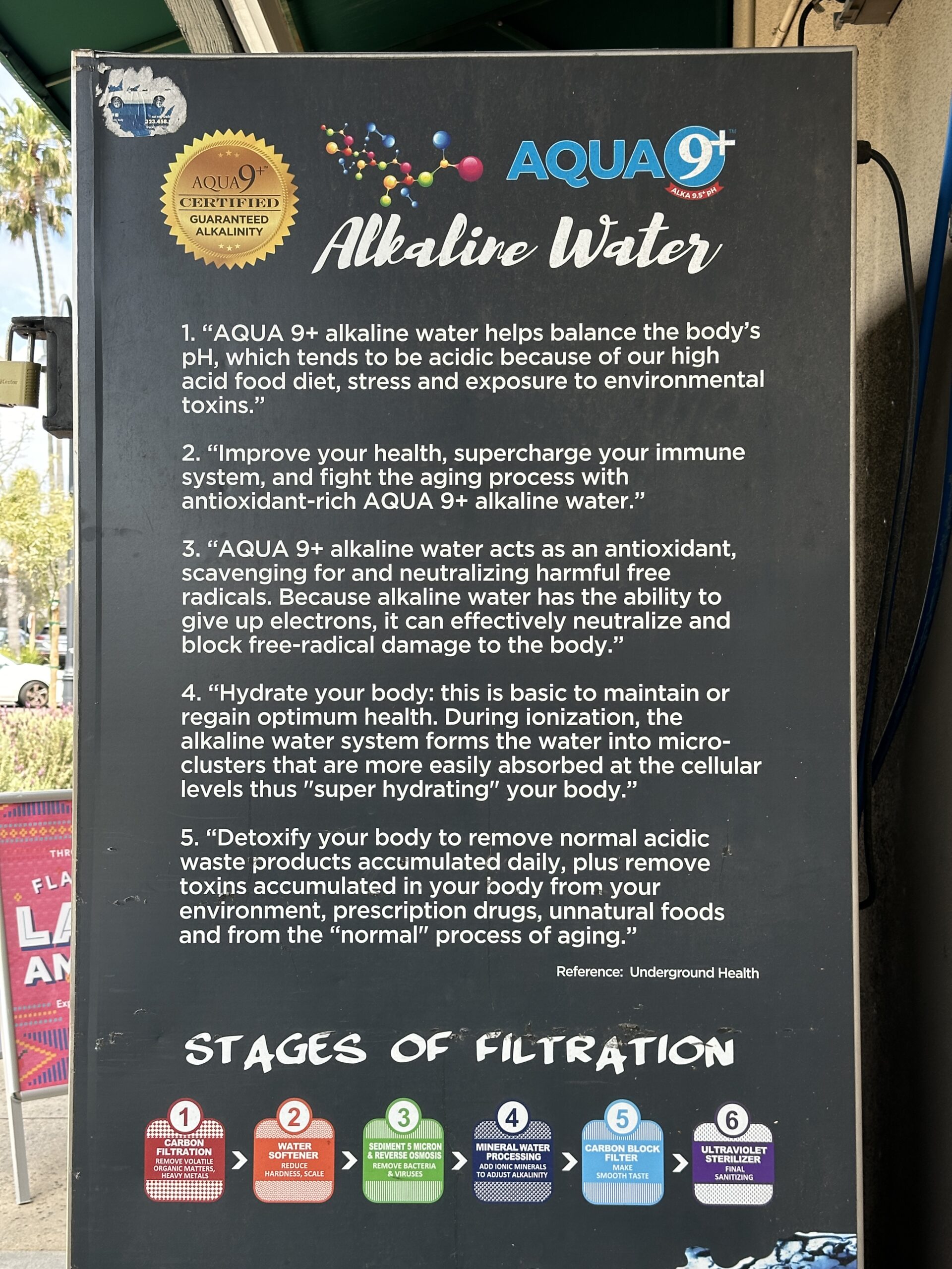
In the rare moments when they de-mask, the Followers of Science detoxify their body with alkaline water in front of this Whole Foods:
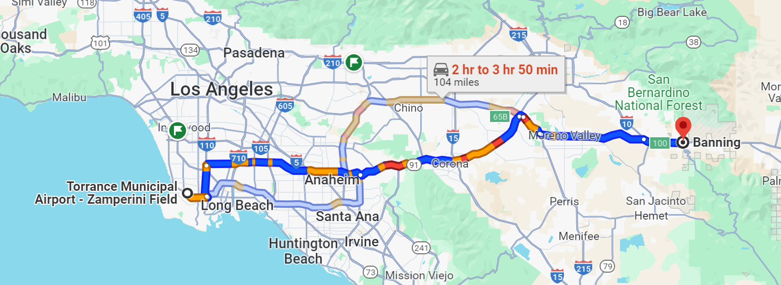
We fly out of LA by following CA-91 and I-10, a route prescribed by Robinson that is the lowest path out of the mountains (the Banning Pass is at 2,200′ above sea level). I keep a cheat sheet of radio frequencies for the control towers and/or common traffic advisory frequencies (CTAF) of the 7 airports we will fly by. In the middle of the day (not rush hour) it’s up to a 4-hour trip by car, according to the Google, but we’re there after 30 minutes:
If one were tempted to complain about the R44’s 110-knot cruising speed, this sight in Carson, California (near Long Beach) is a good reminder to count one’s blessings:
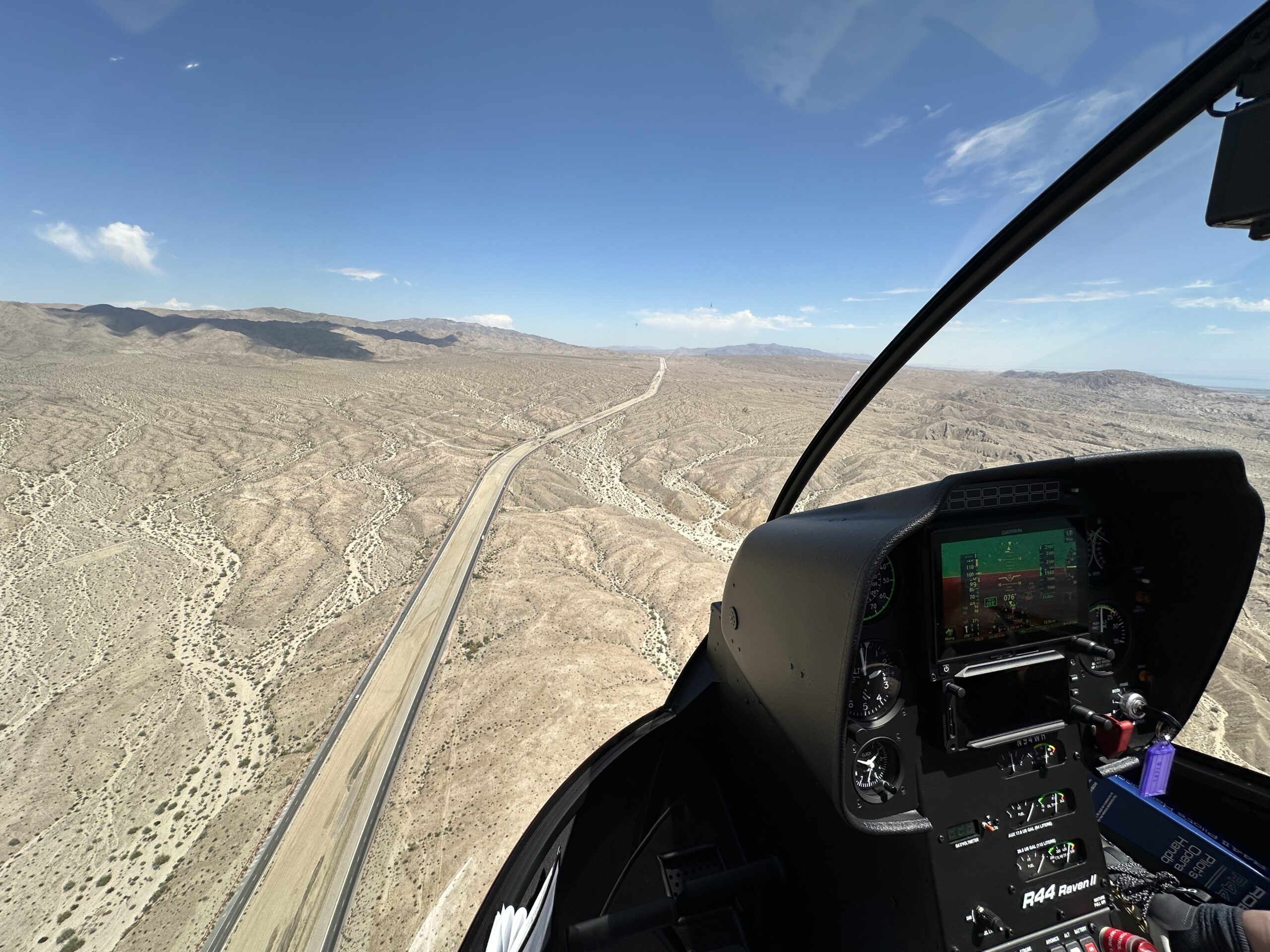
As soon as we get to Banning the skies turn blue. We transition through Palm Springs and land at the Bermuda Dunes airport. After consuming all of the FBO’s Cheez-Its, it was time to continue climbing into the hills via I-10.
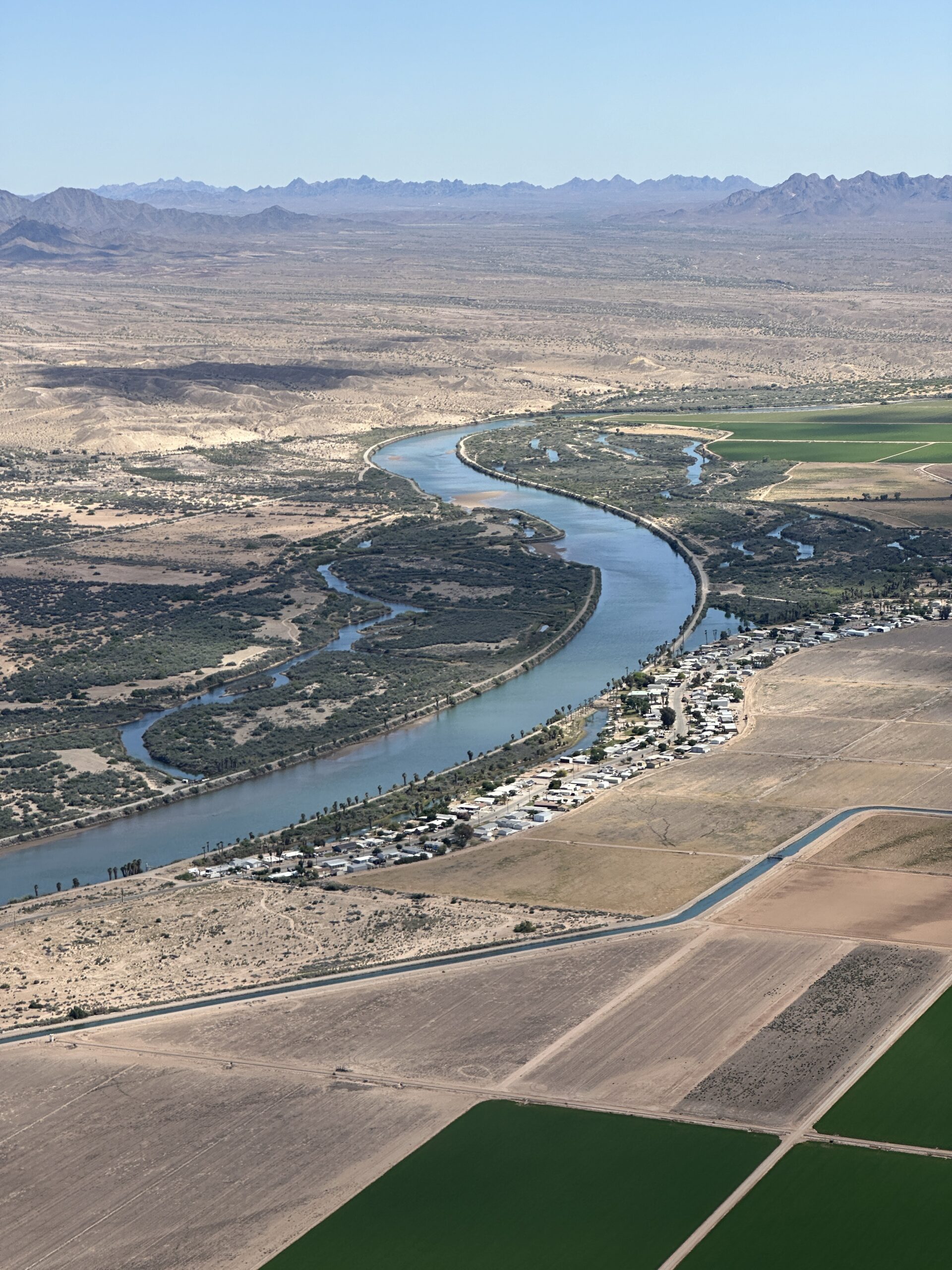
Blythe, California is a generally terrible airport where you need to park at the fuel pumps and where the “courtesy car” comes with precious little courtesy. We skipped it and continued across the Colorado River into Arizona.
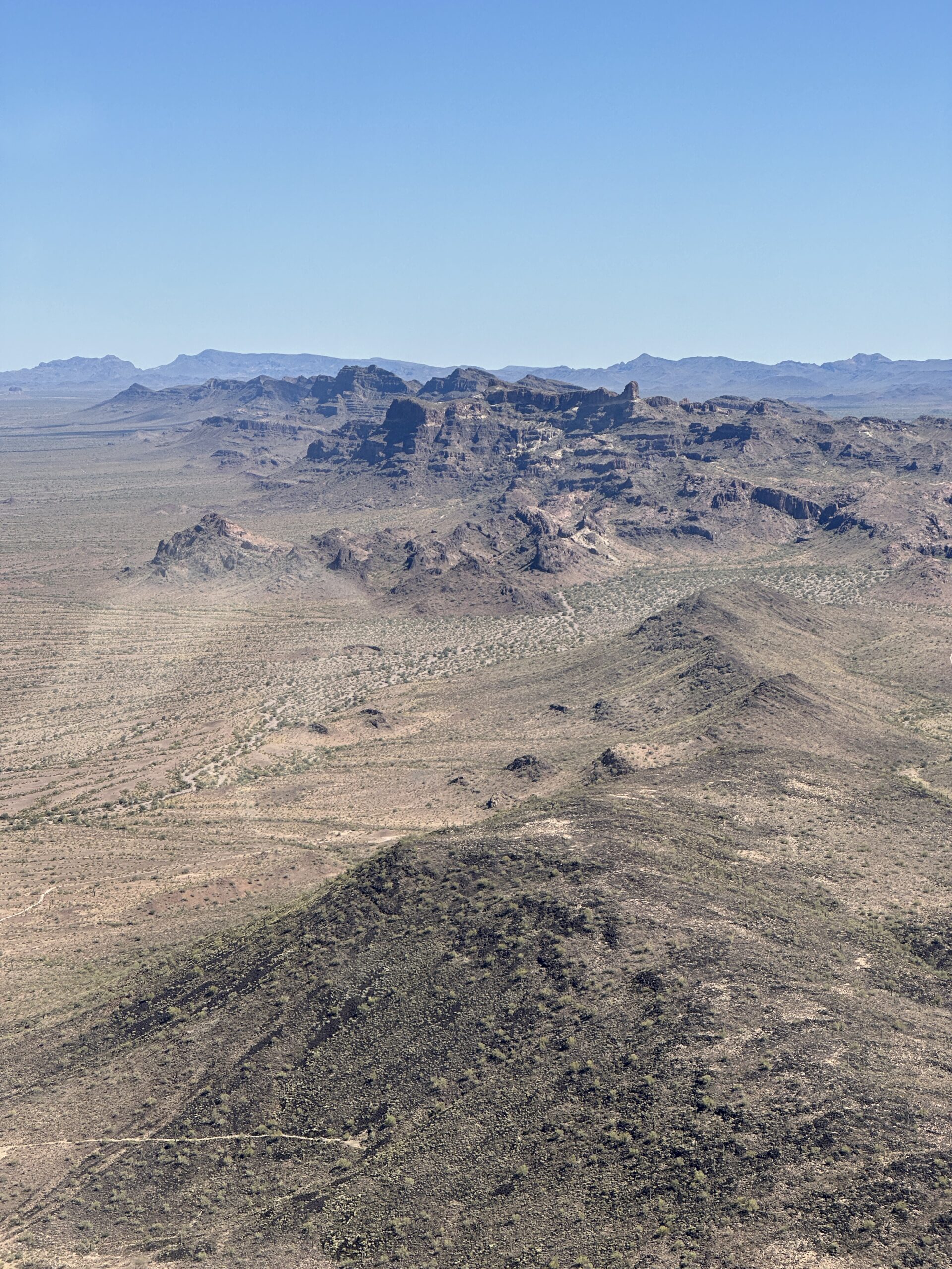
Some more mountains before arriving in Metro Phoenix to land at the Goodyear, AZ airport:
One way to look slim:
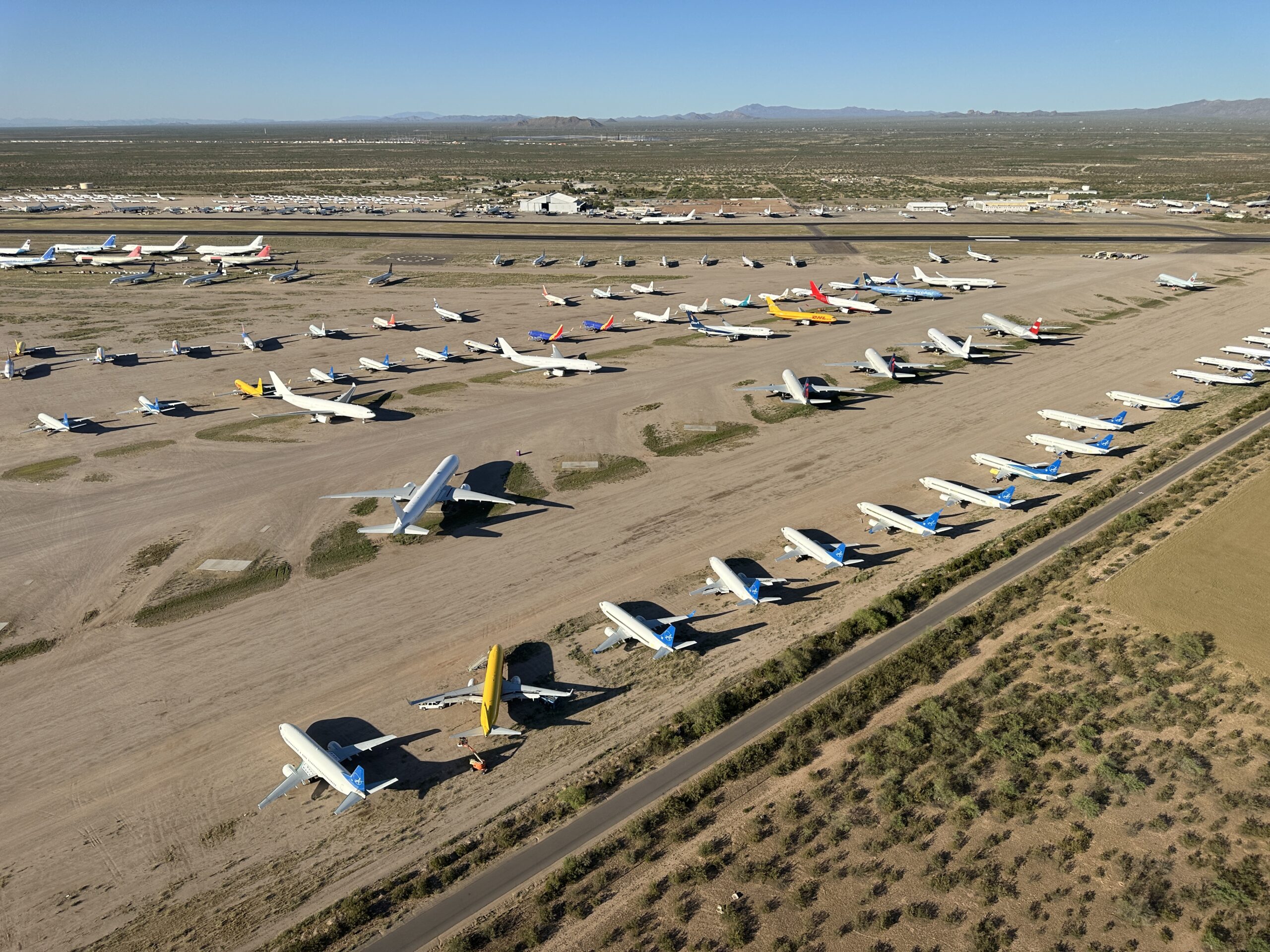
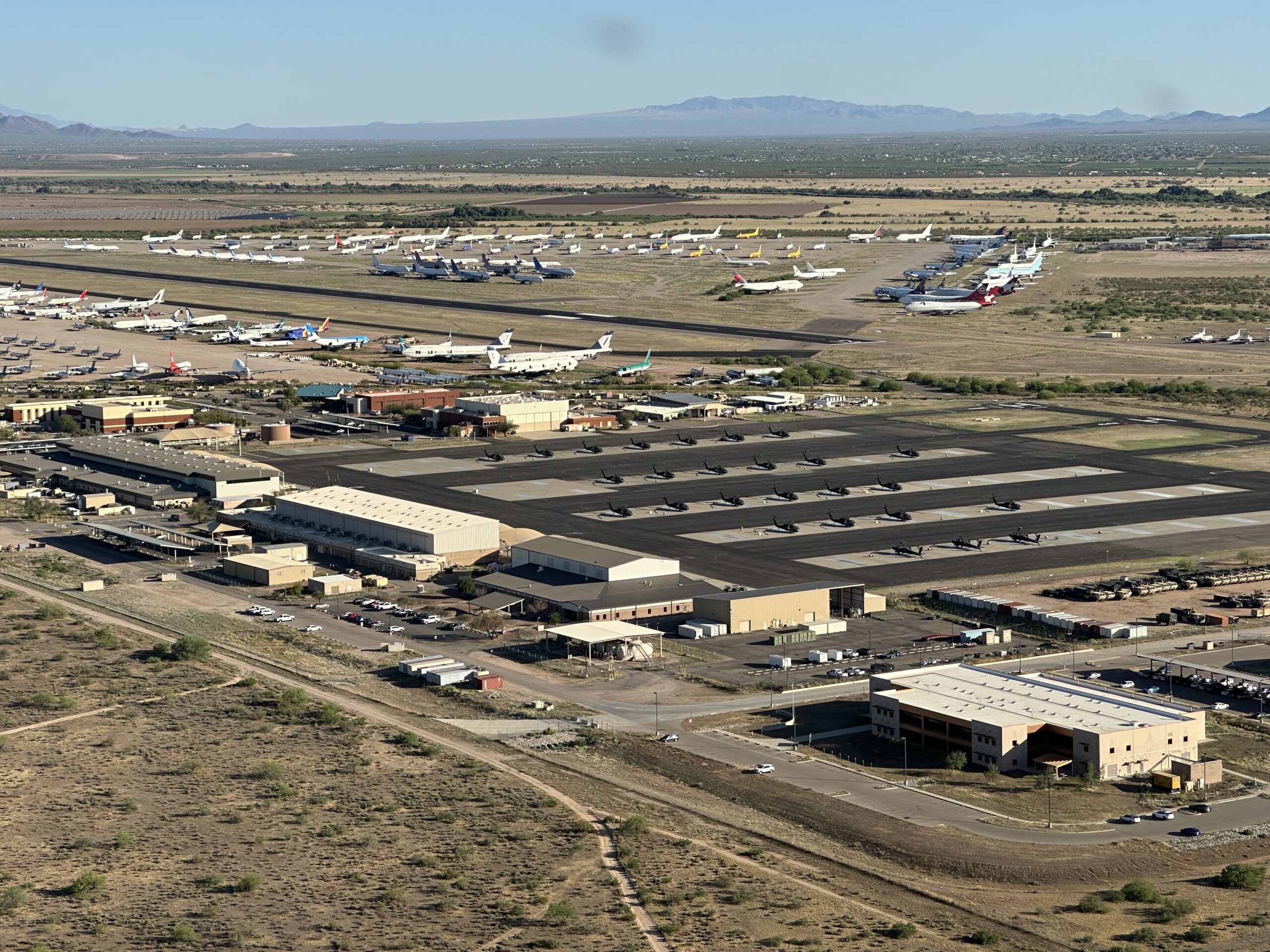
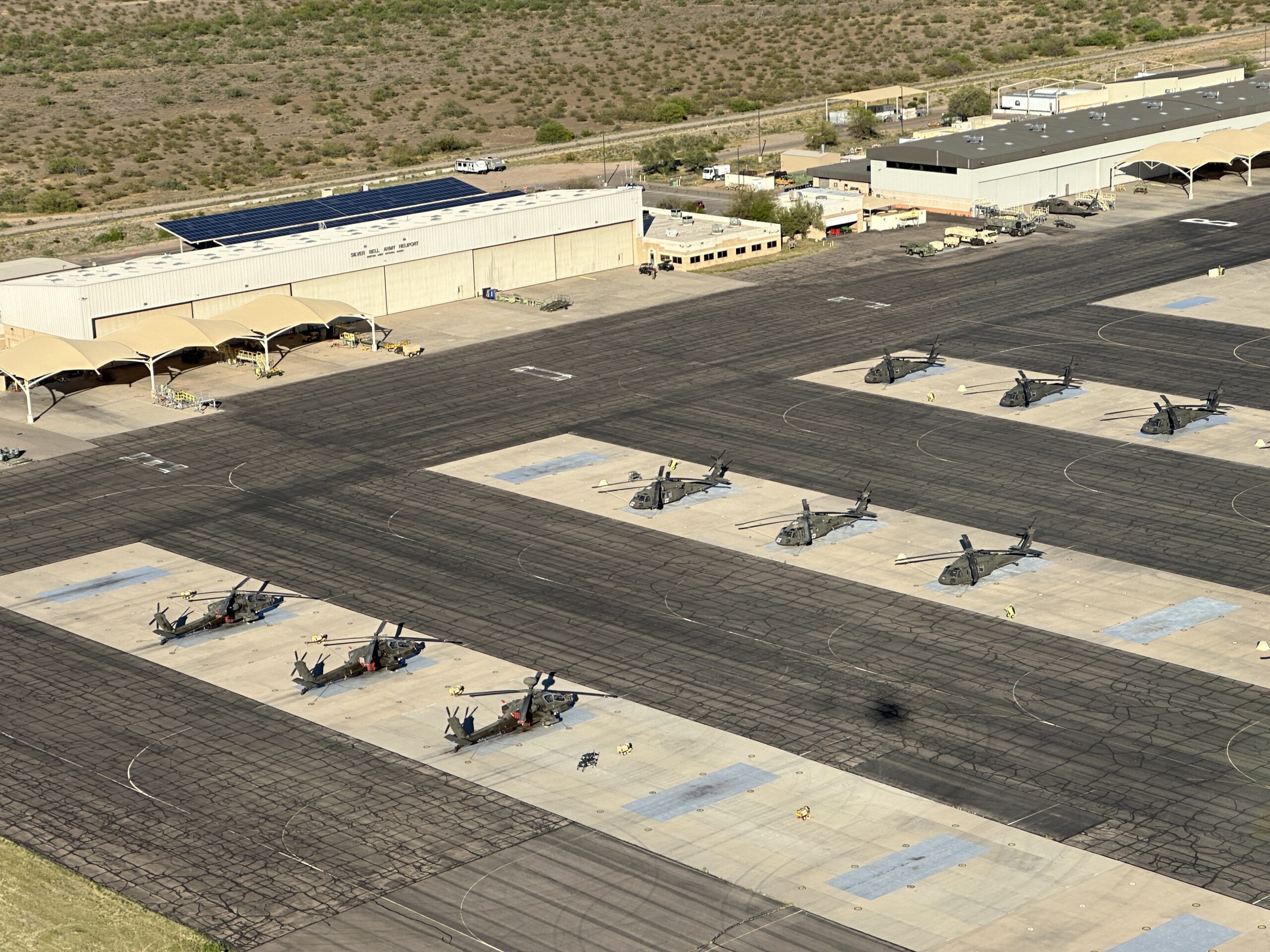
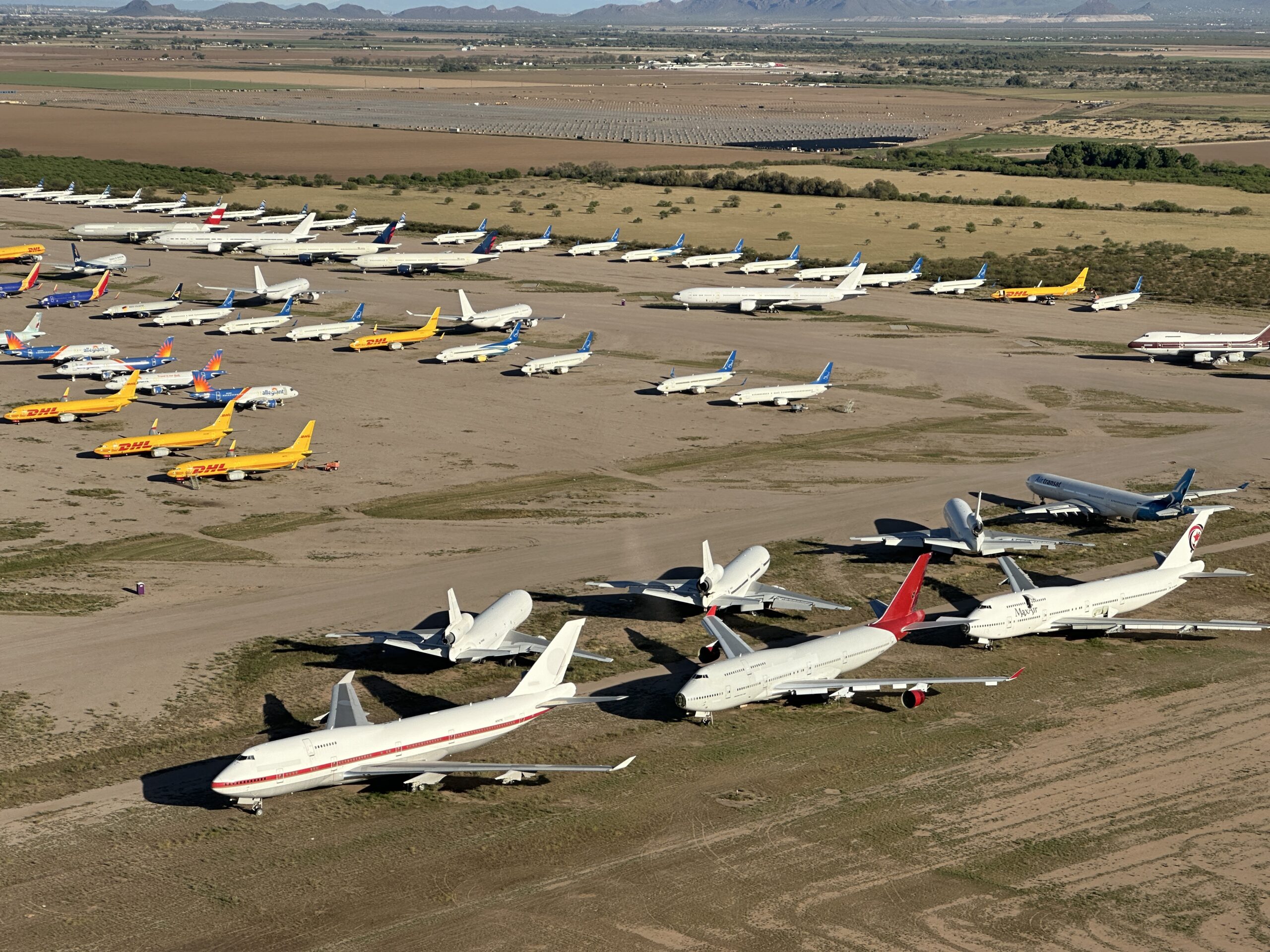
More coffee and snacks at GYR before proceeding on toward Tucson. The Pinal, AZ airport is notable for Army helicopters and washed-up airliners:
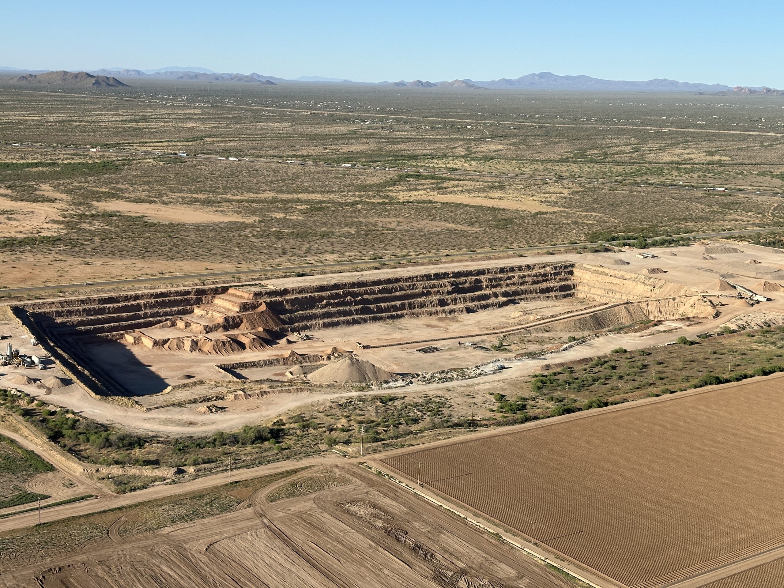
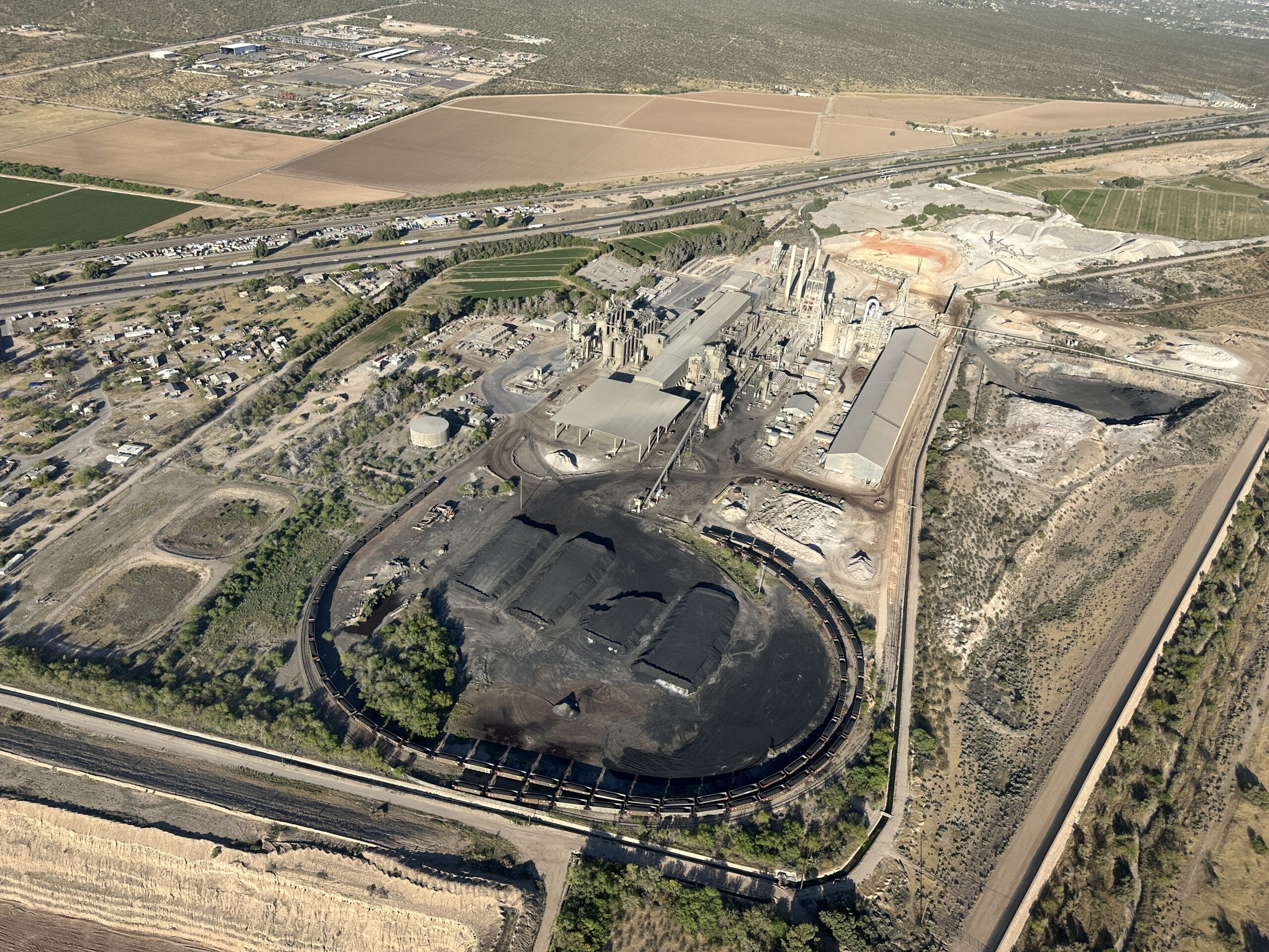
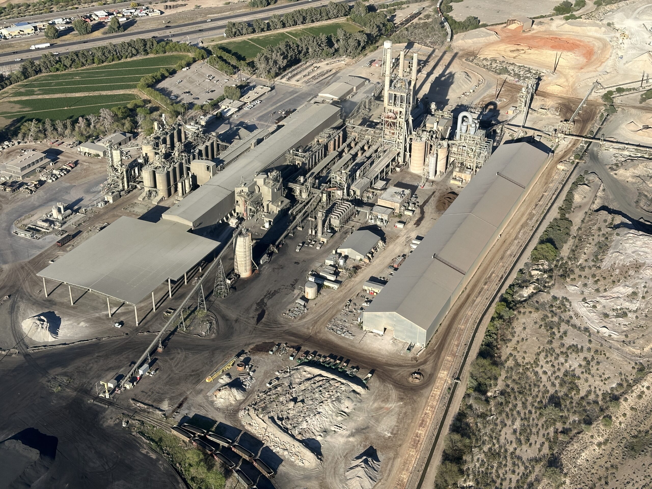
Maybe a sharp-eyed reader can figure out what the coal-fueled facility below is. I don’t see huge powerlines coming out of it so my guess is “not electricity generation”. Also, a nice quarry:
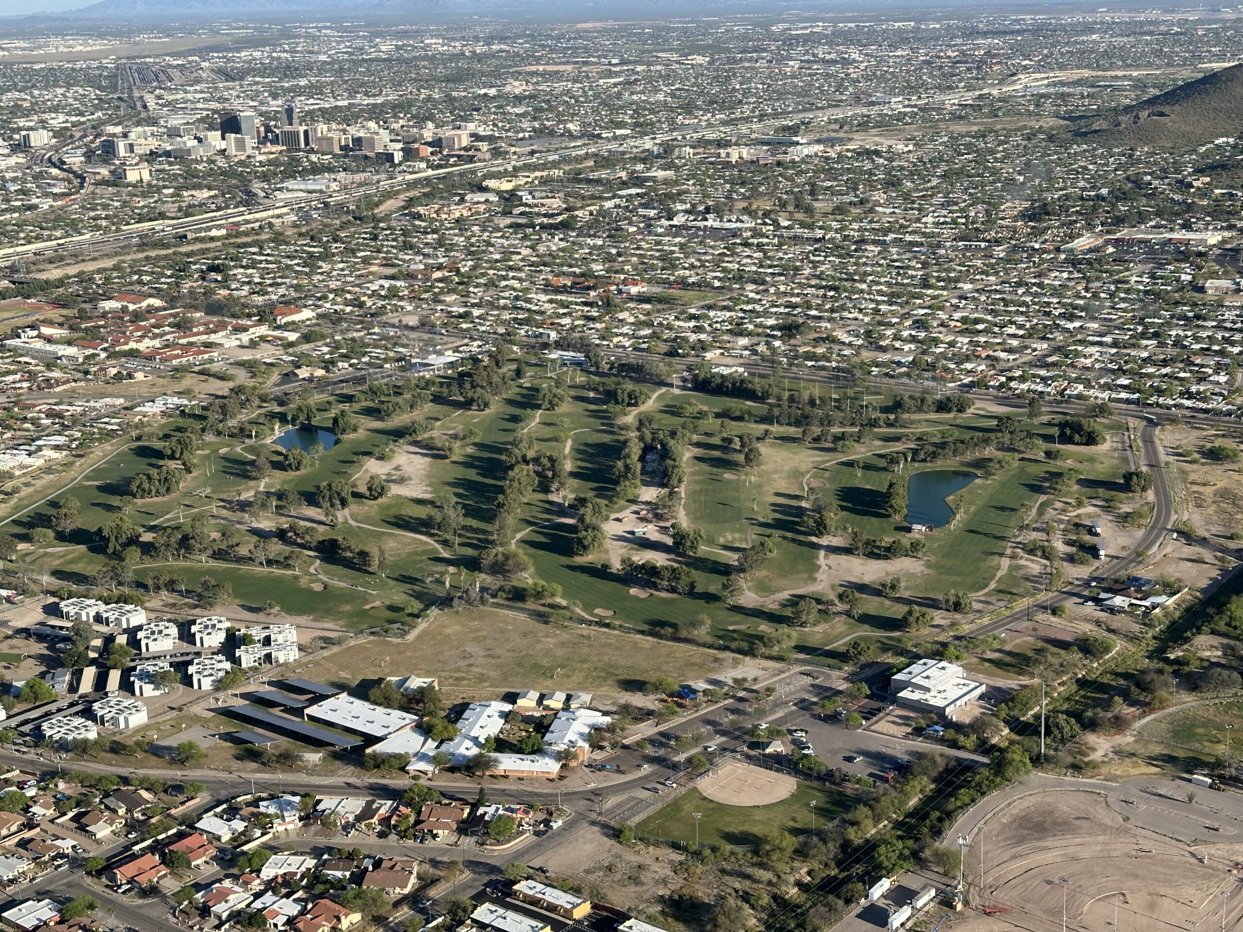
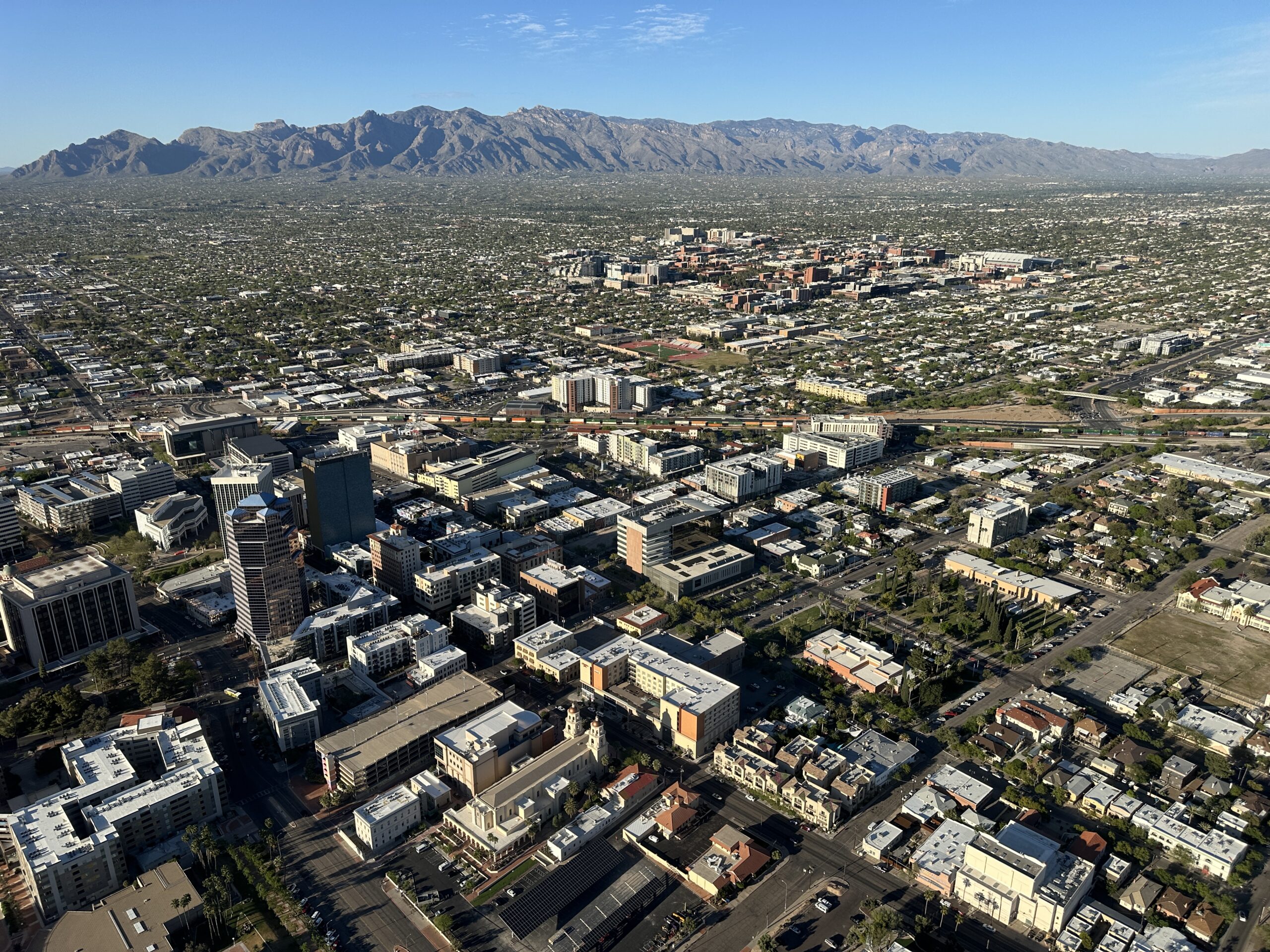
We arrived in Tucson about 1.5 hours before sunset. If we couldn’t make it all the way to El Paso it probably made sense to shut down because southern New Mexico does not have a lot of services.
Then it was time to shop for microfiber cloths (clean the bugs off the bubble) and eat Sonoran hot dogs at El Guero Canelo (“EGC” to the locals):

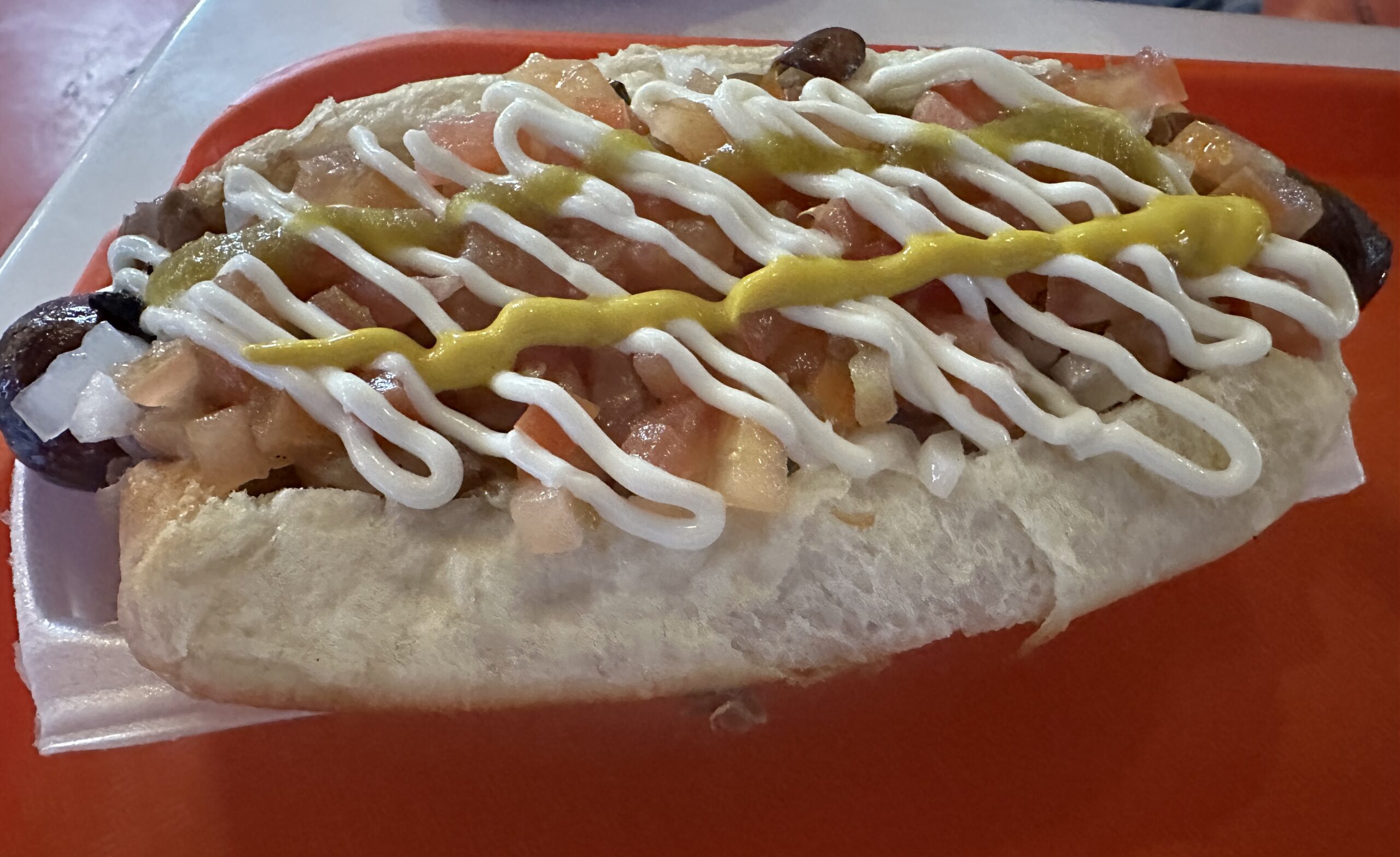
(I cheat and order mine without mayonnaise)
Next: Helicopter from Los Angeles to Maskachusetts, Part 2 (Davis-Monthan boneyard)
This was great, really enjoy these types of trips and the commentary and photos. Is this new machine yours?
Paul: Hah! If I did buy a new helicopter it certainly wouldn’t end up based in Maskachusetts! This was just a delivery flight on behalf of a friend who is a Robinson dealer.
How many hours do these new helicopters have when you get them at the factory? Are they still using mineral oil?
TS: The FAA requires them to do 4 hours of flight testing before they release to a customer and the machines are delivered right at 4 hours and with a fresh oil change. It’s all mineral oil for the first 25 hours at least. Lycoming says to change the oil at 25 hours, but it is probably more reasonable to do it around 29 hours since Robinson put in fresh oil at 4 and I think that the Lyc recommendation assumes that you started with fresh oil at 0 hours. I’m not sure what the religion is for when to change to ashless dispersant. Maybe it should ideally be done as soon as oil consumption stabilizes (i.e., the rings are seated)? We had almost no oil consumption at first and then we suddenly started using a quart every 3 hours.
East coast aero club must chew up a lot more R44’s without Greenspun at the helm.
That is a cement plant.
Careful that cement plant might have blade rotors in burn mix in addition to coal. And it counts in the “renewable energy” category. https://www.penews.com/articles/cement-makers-burn-turbine-blades-as-wind-power-industry-upgrades-pylons-20220511
Nice pictures! how do take them nowadays? a real camera? a phone?
Federico: If the R44 had a sliding camera window as some turbine helicopters do then I would have brought a real camera. Since I would have to be taking pictures through acrylic I decided to travel light and use an iPhone 14 Pro. The real camera is much better in low light, of course, but it was bright out most of the time that I wanted to take pictures.
Phil, what’s the real camera?
Federico: The real camera is a Canon R5 mirrorless. It gets used for soccer games, air shows, birds, etc.
Excellent post and pictures!
I am always surprised that it makes economic sense to fly the R44 as opposed to shipping it via truck. Once you land in the “Western” part of MaskAchusetts will you have a courtesy car take you to the airport, or do you pick up another aircraft to continue your travel back to Florida?
Robinson doesn’t want the helicopter subjected to vibrations on the road. The machine can be disassembled and put into crates for trucking/shipping, but that costs more than flying it 27 hours.
The overall-white with red-over-gold striped 747 in foreground is an ex-Japanese Air Force One (one of two identically configured 747-400s). The painted-over red Hinomaru (“meatball”) logos are visible on tail and atop both wings
Ordered in 1987 to offset the yawning imbalance-of-trade with the US and thus placate trade protectionists, their profligate conception predated the peak of the Japanese equity and real estate bubble by two full years. In service, they always flew together, with one as a hot spare.
It is like looking at a lisp closure from a wholly different and much more optimistic world.
Bravo Philip Imagine for a moment doing it in R22 without hydraulic system less air conditioning…
Martin: I did that in late fall 2005. I was thinner then, but I still had to find the thinnest and lightest possible CFI to join me!