We went to the UNESCO World Heritage town of Guimarães on our way back into the mountains.
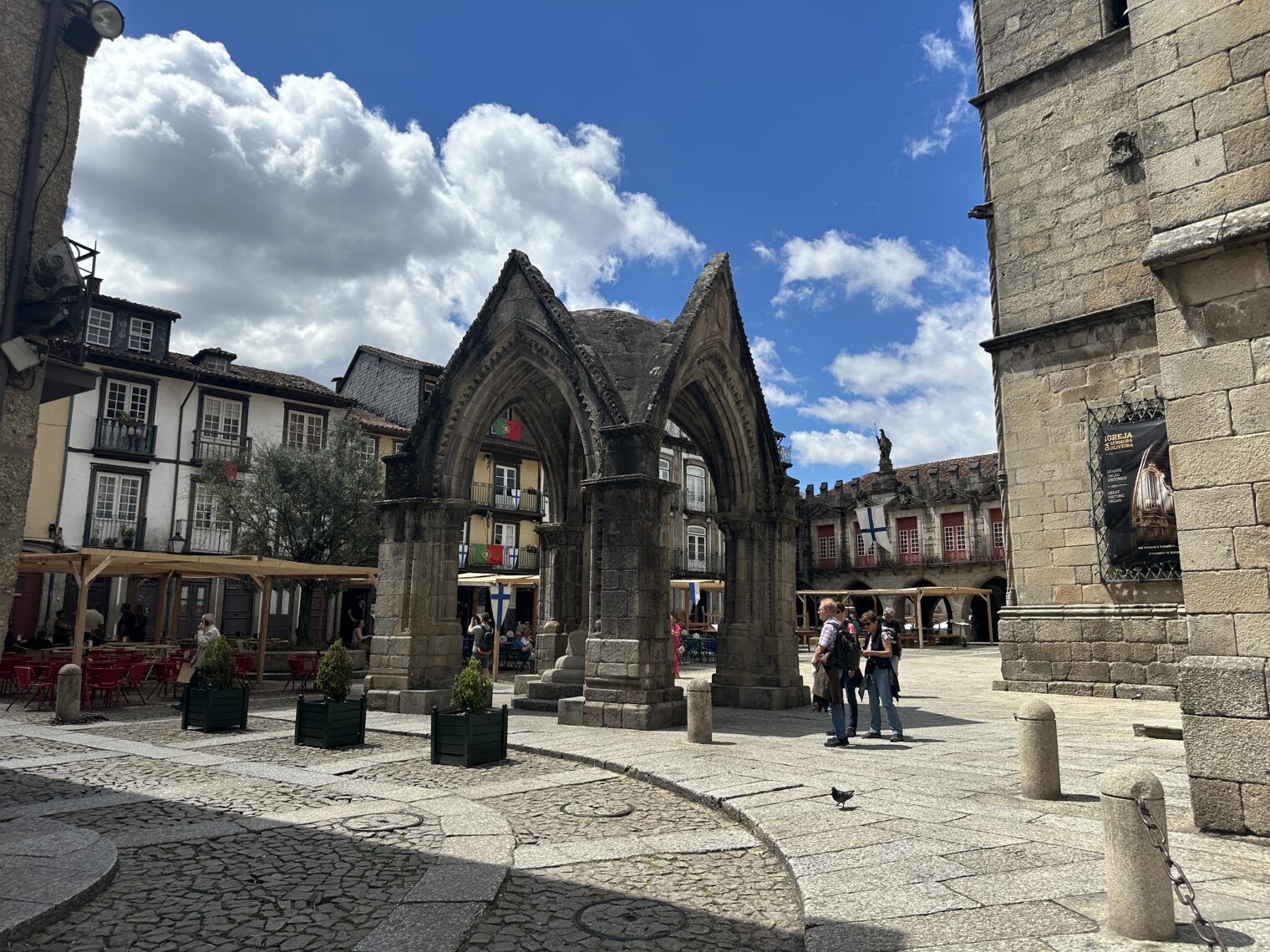
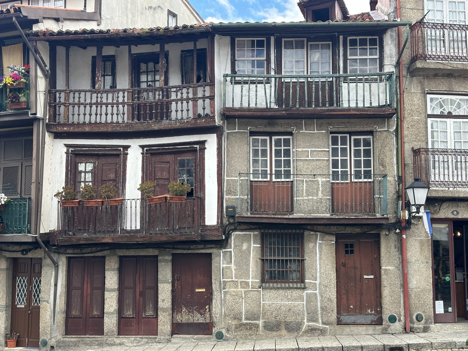
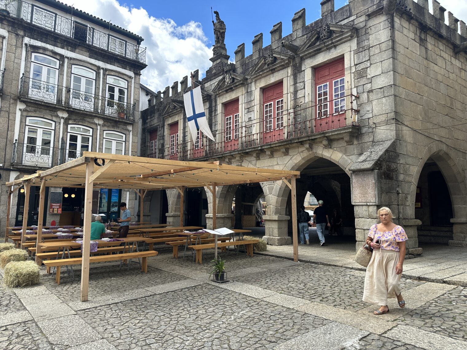
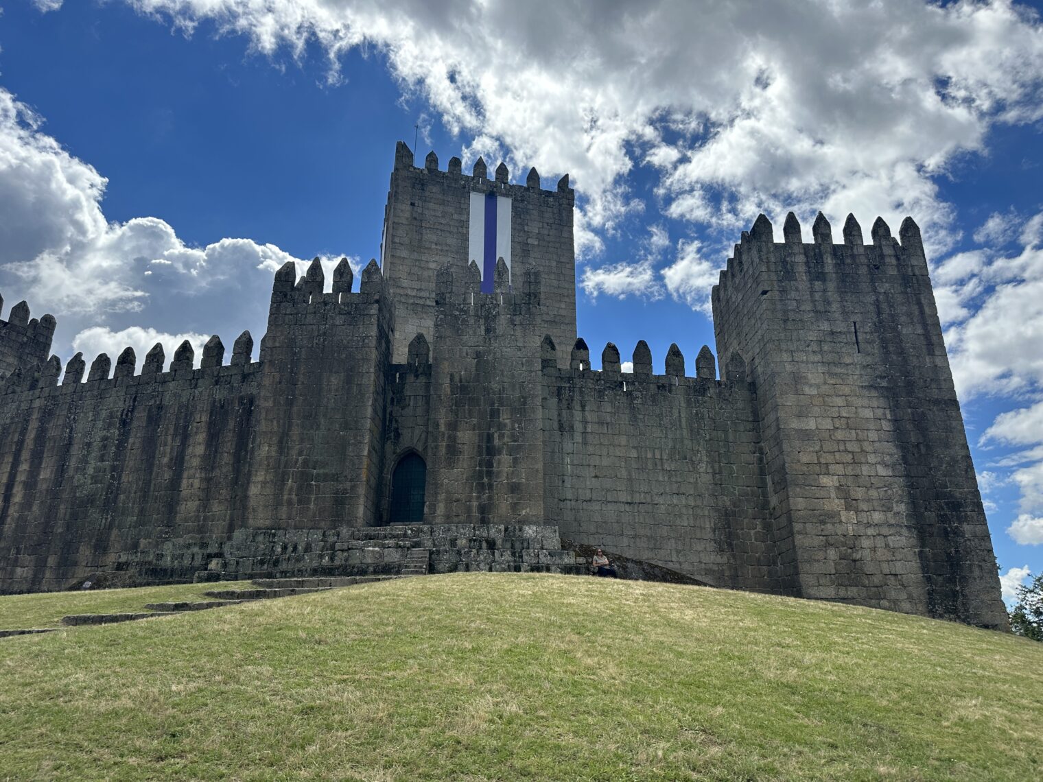
This place gets hit with bus tours that trek through the duke’s palace, for example. This might be where Hrothgar’s mead hall (Heorot) was!
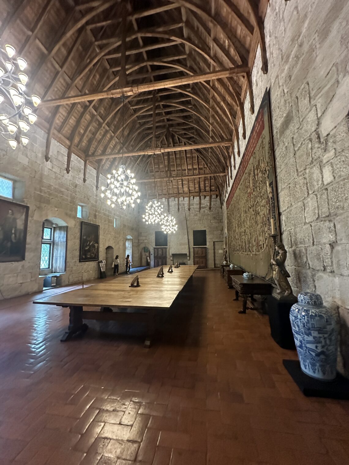
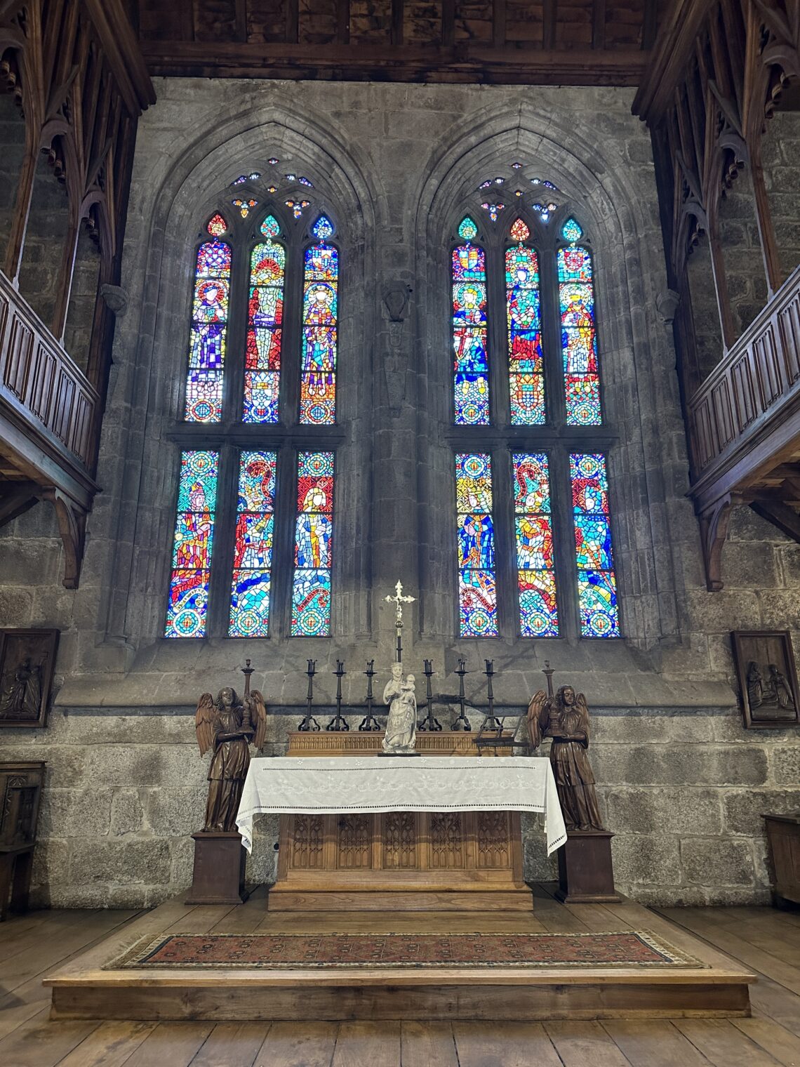
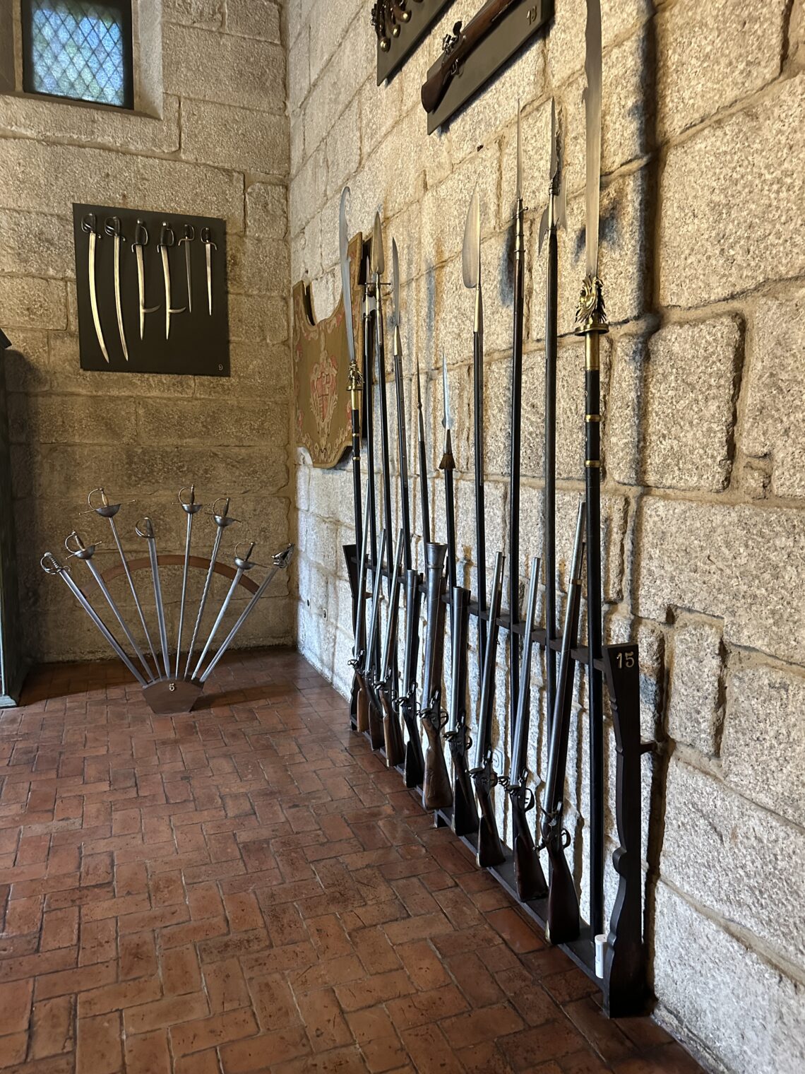
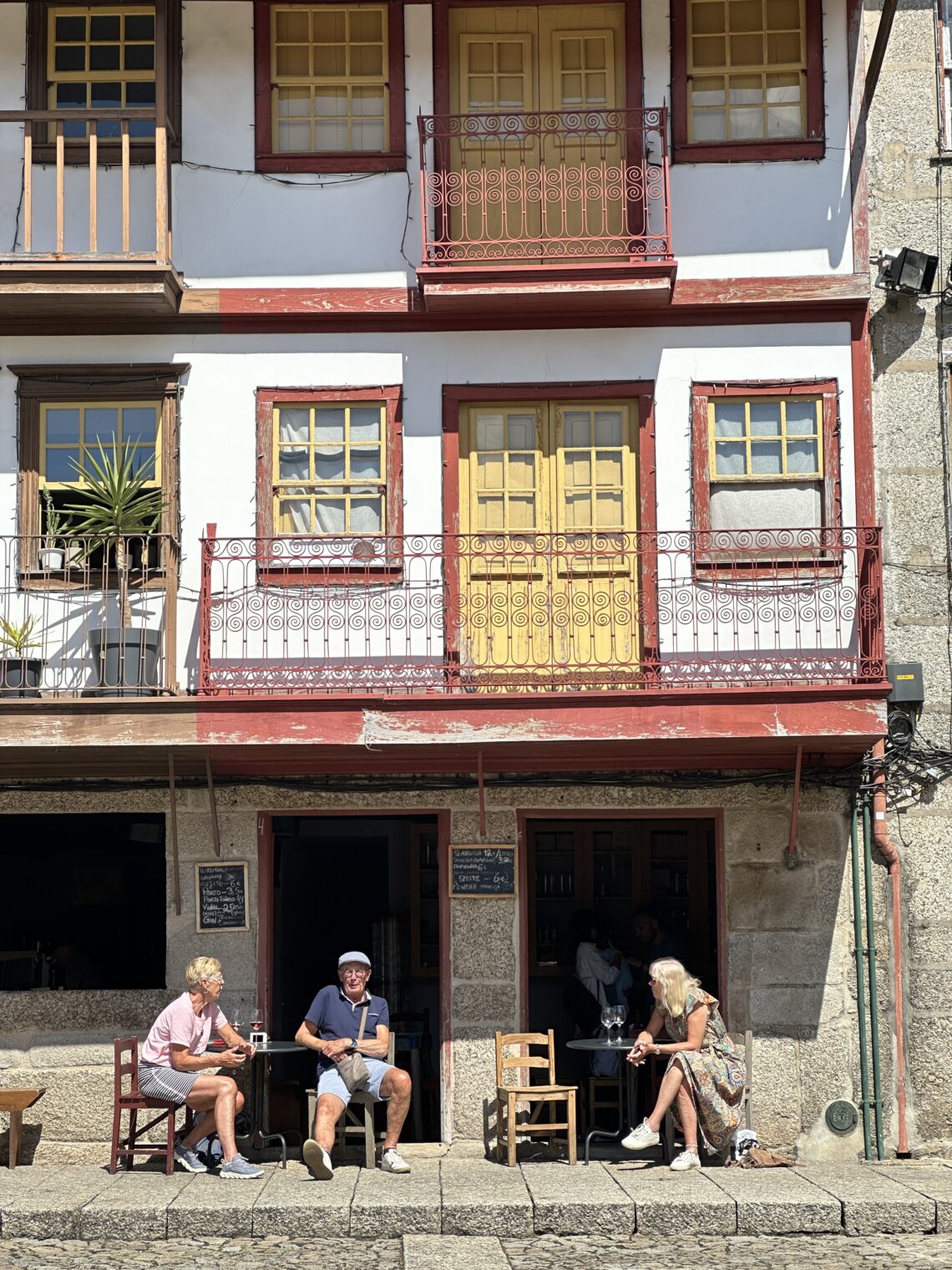
It’s still very pleasant, though maybe an afternoon here is enough.
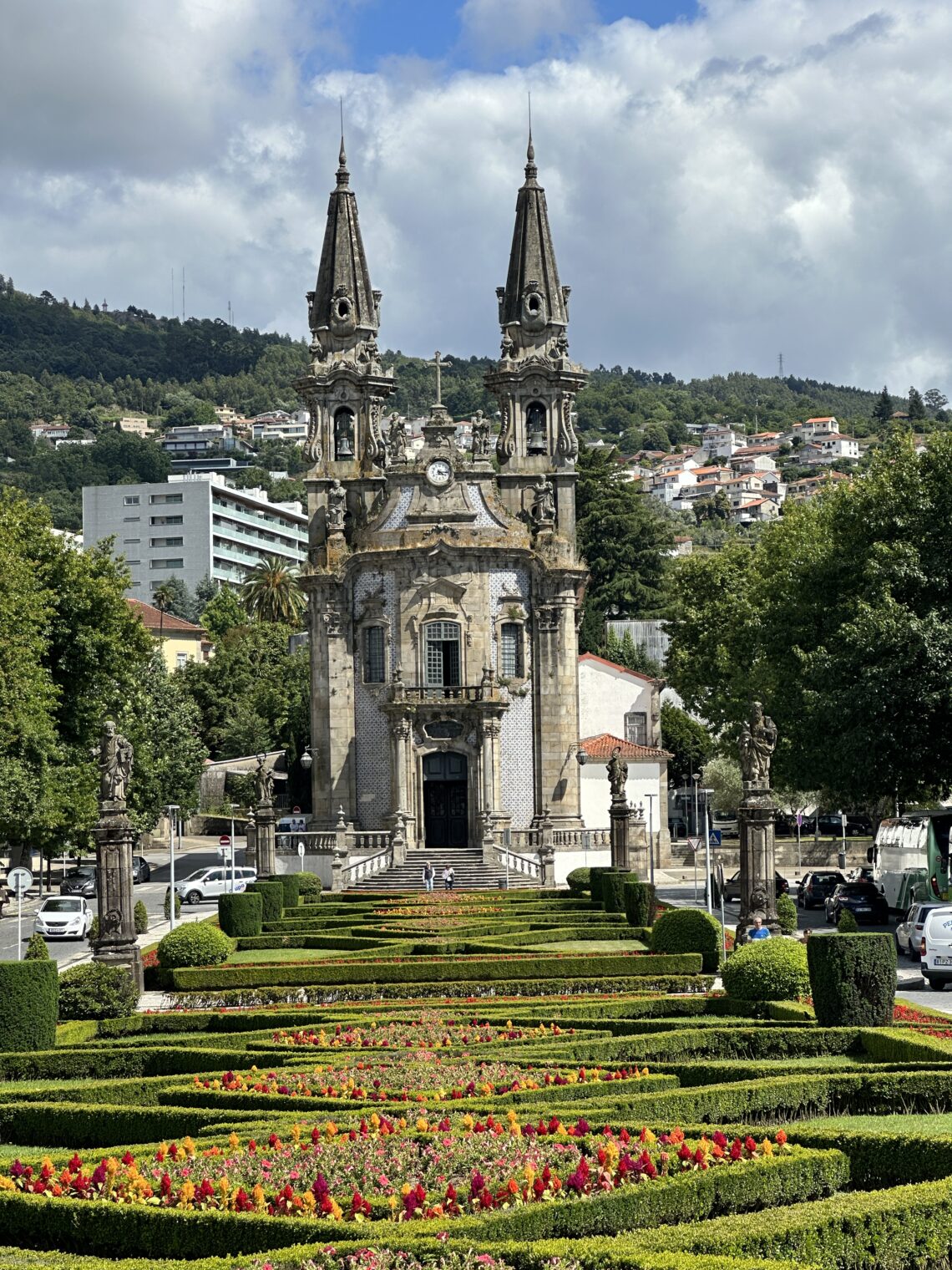
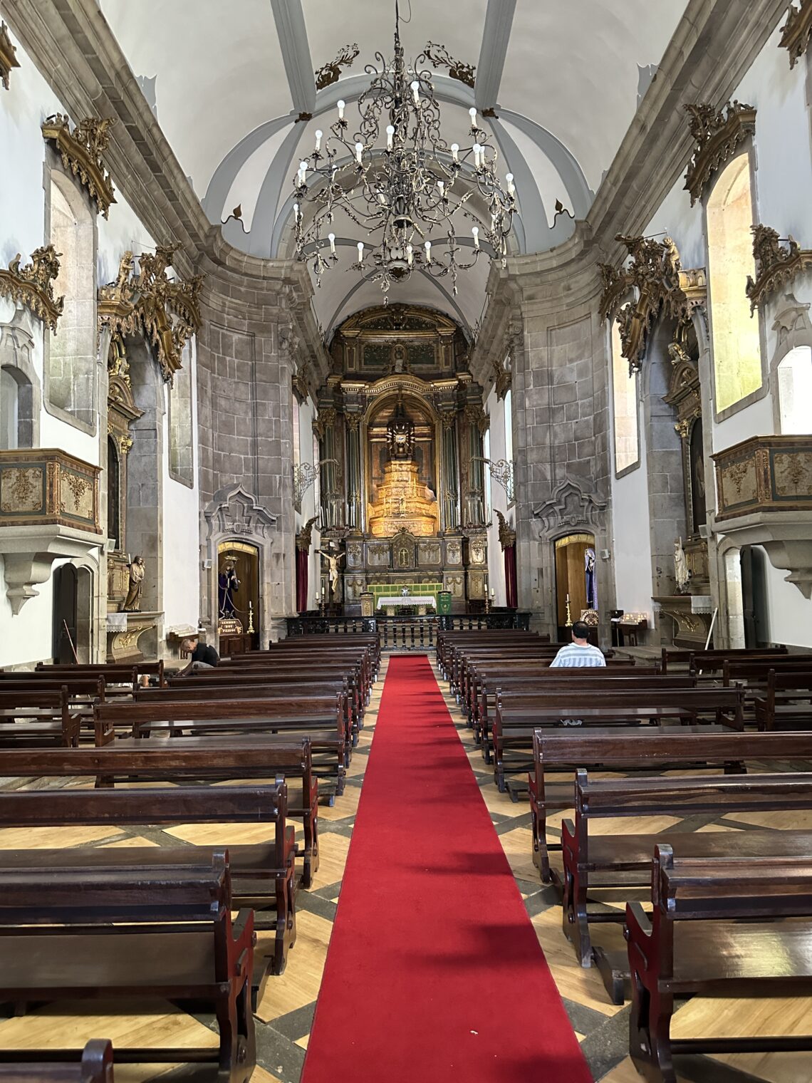
We drove up into Portugal’s only national park, Peneda-Gerês, via São Bento da Porta Aberta, an important Christian pilgrimage destination.
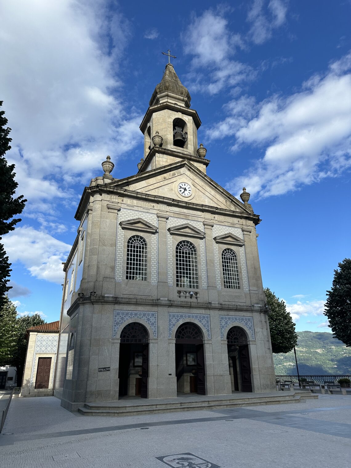
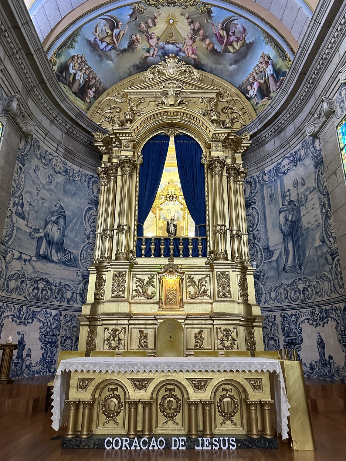
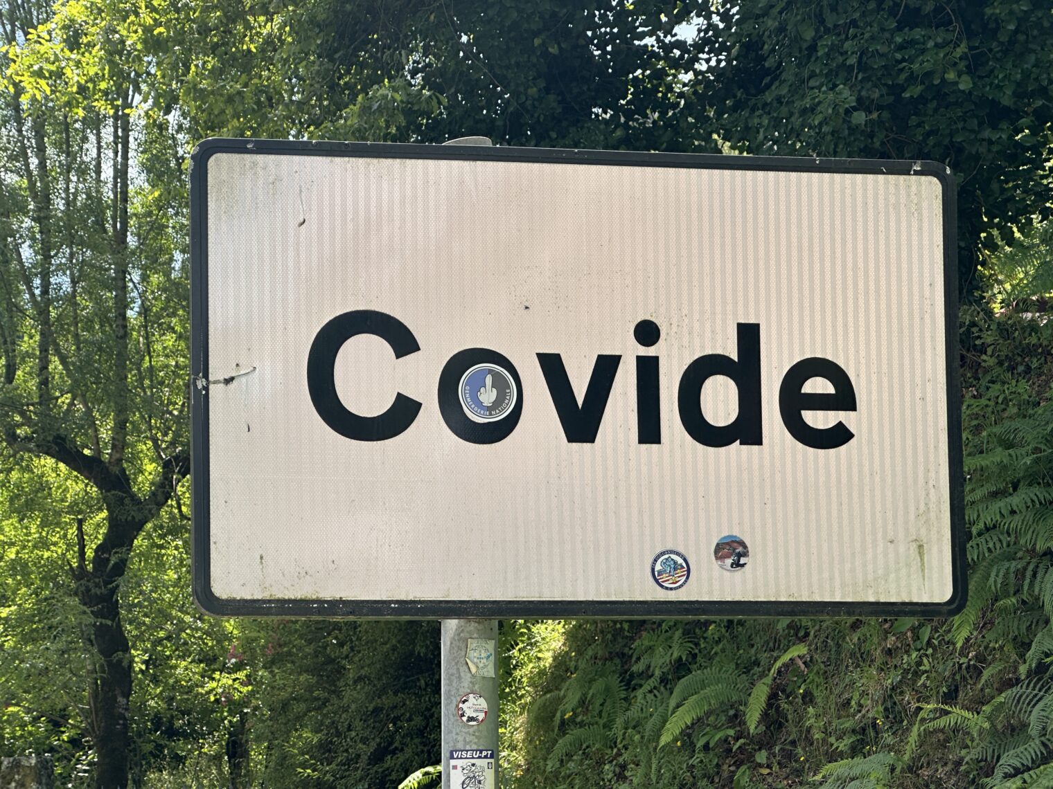
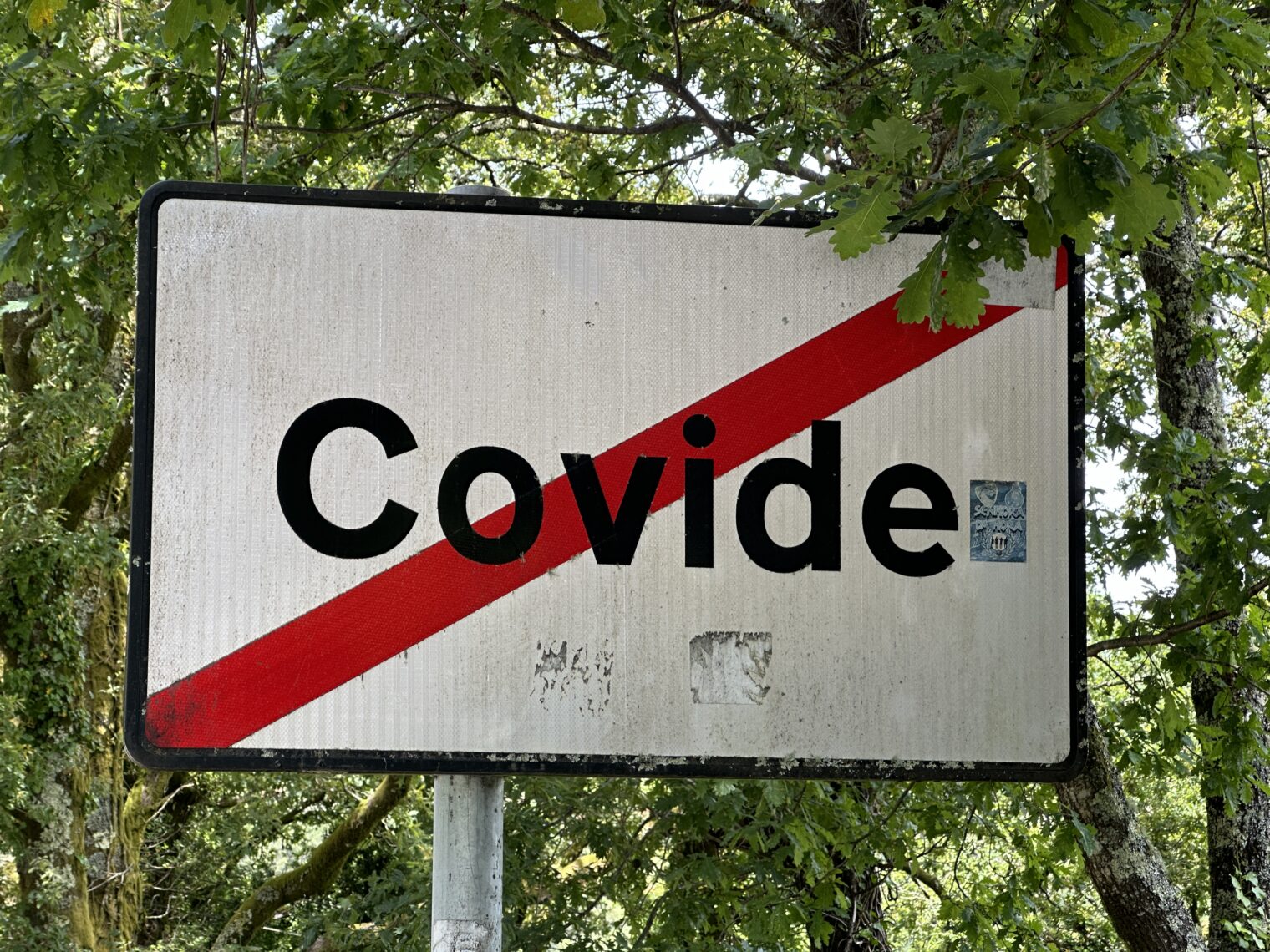
We arrived in what barely seemed like a village, Campo do Gerês, and stayed a few nights to walk in the surrounding mountains. The highlight of my trip, of course, was a visit to the town of Covide:
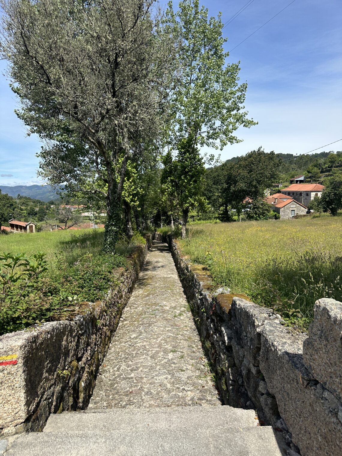
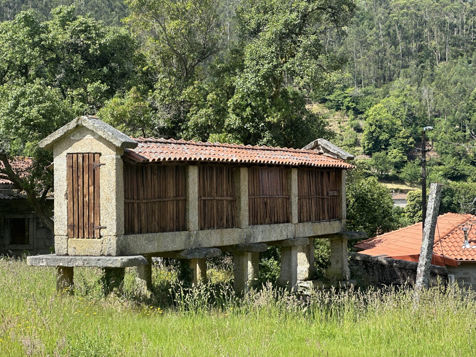
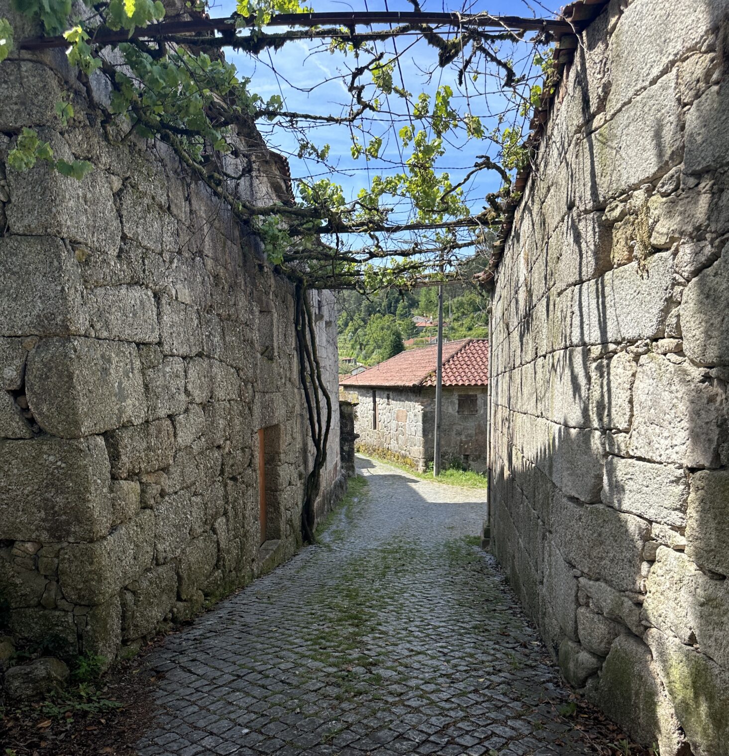
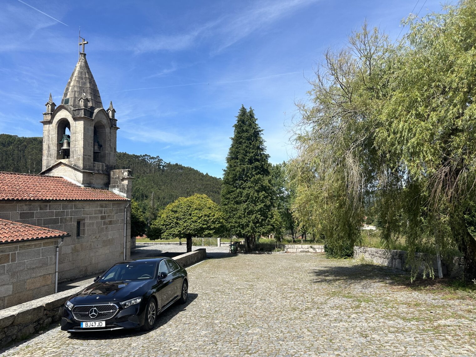
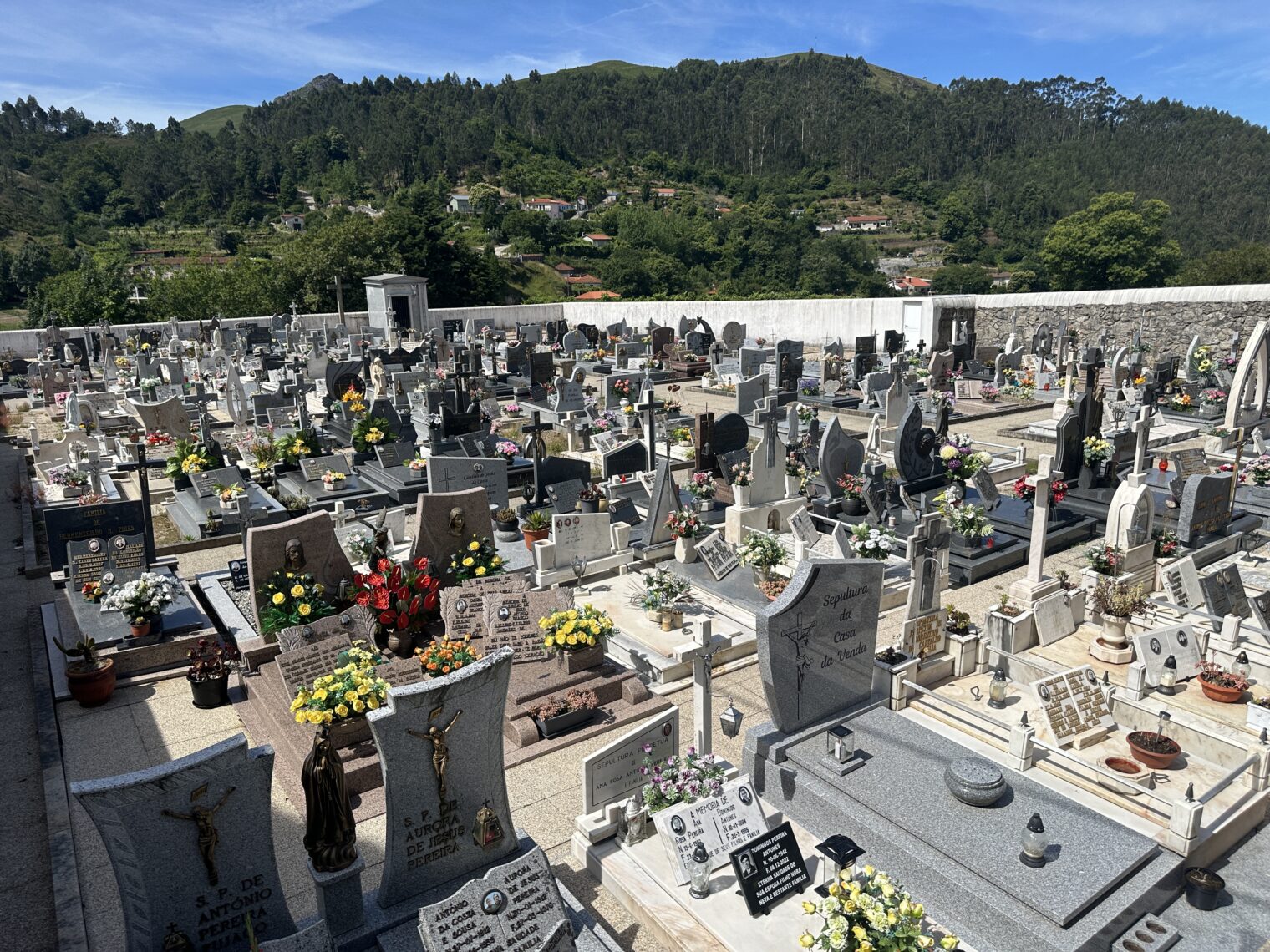
The weirdly narrow “house” is for storing grain safe from animals. Here’s the local cemetery:
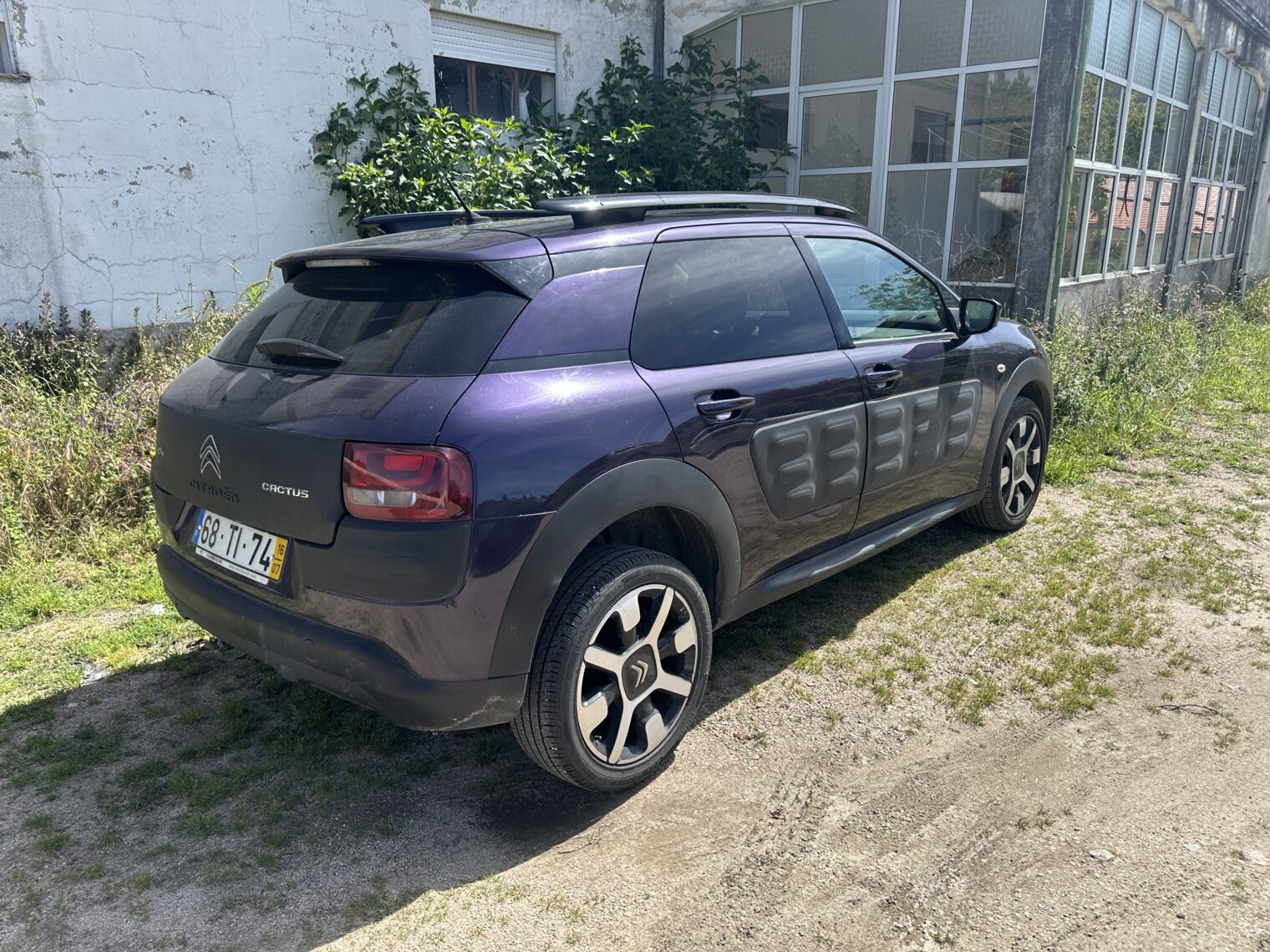
It was in Covide that we found walking paths down which Google Maps tried to send us in the Mercedes E class. It was also there that we found a car with a great design for Europe’s ridiculously narrow and nonstandard roads:
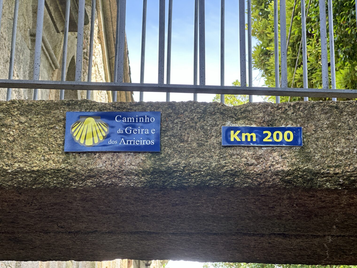
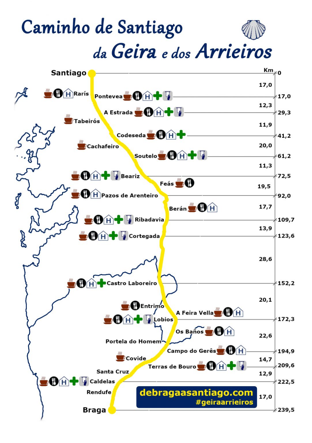
The Citroen Cactus has Airbumps that can be sacrificed in the event of a scrape. Both Covide and Campo do Gerês are on the Caminho da Geira e dos Arrieiros, a 239 km route from Braga, Portugal to Santiago de Compostela.
Even if this path coincides with roads for cars, it’s likely hilly everywhere. The 28 km stretch above is particularly worrisome!
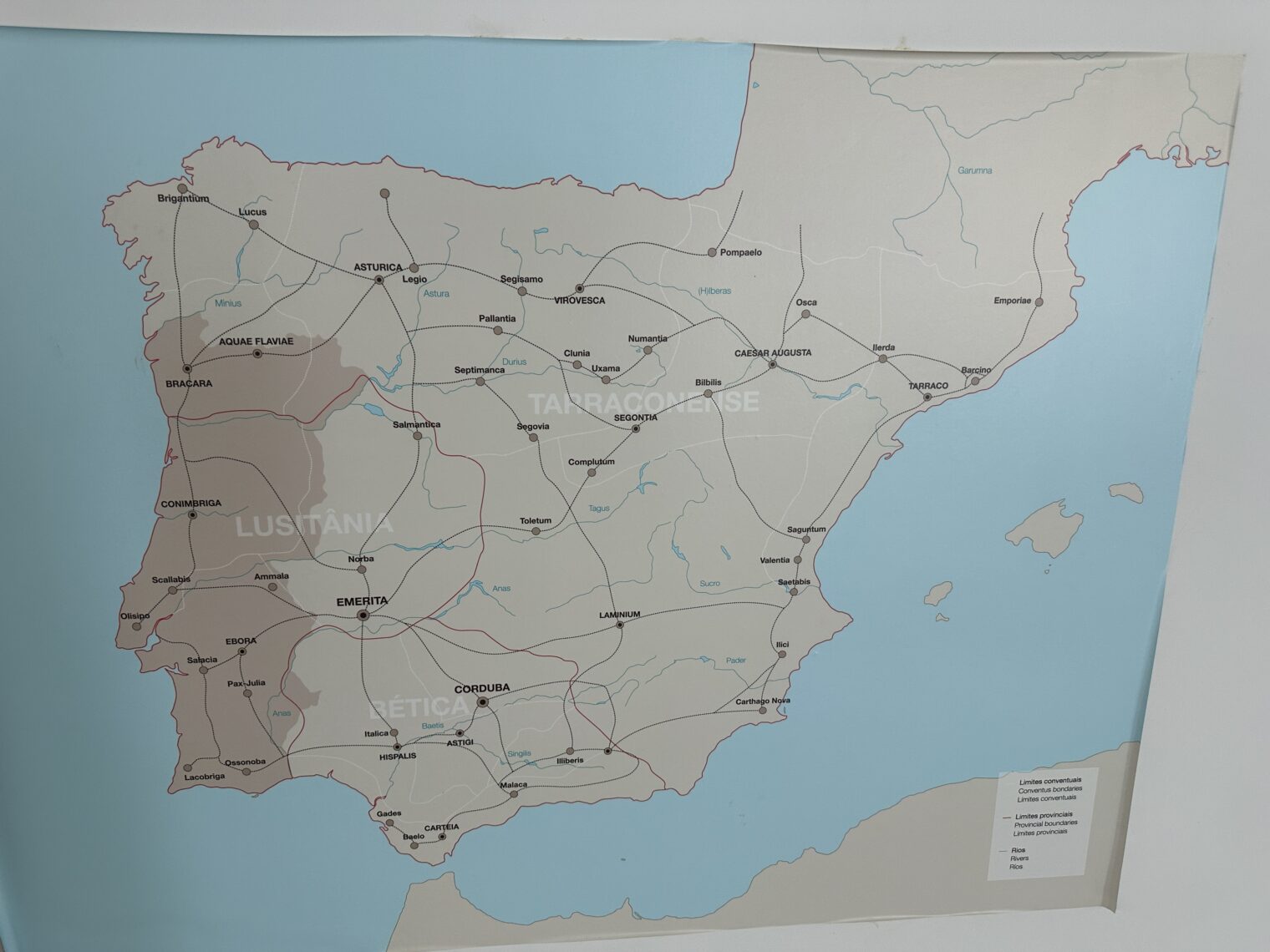
Campo do Gerês has a good museum on the Roman history of the area.
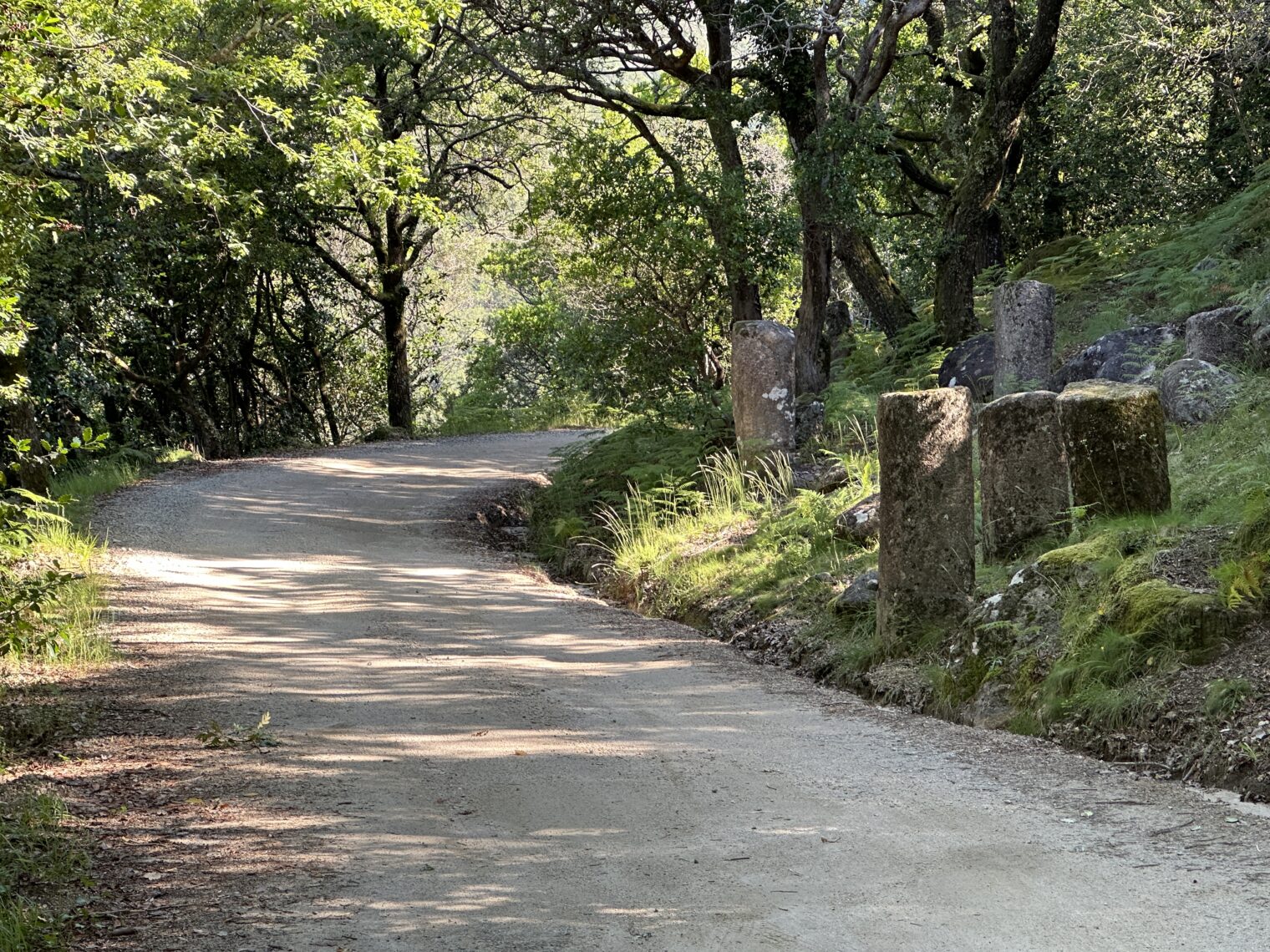
We did see some old Roman road sections and also columns in various places nearby.
There is a lot of good hiking and, for those who don’t mind cold water, swimming, around and in the reservoir impounded by the Vilarinho das Furnas Dam.
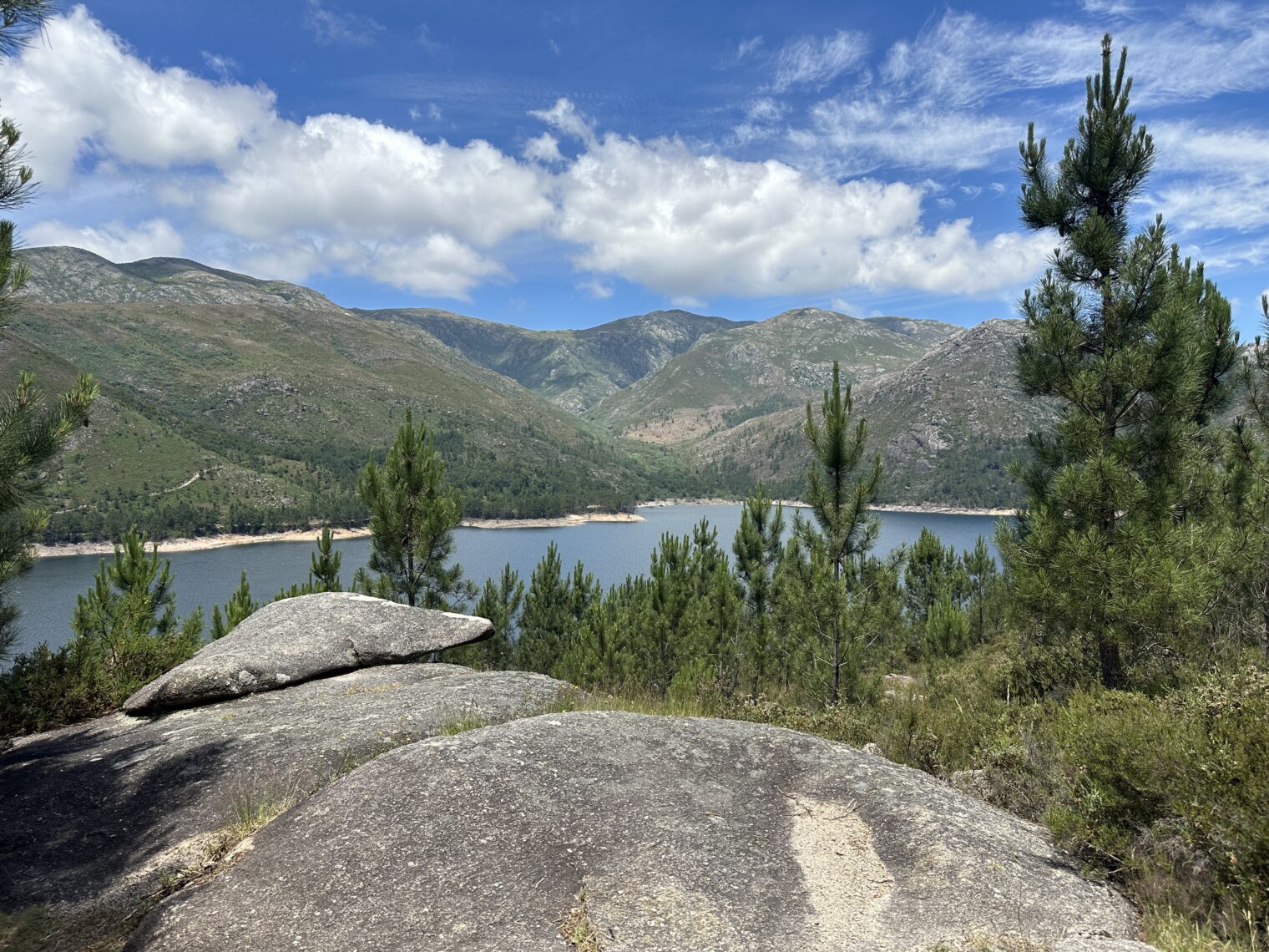
There is one hotel in Campo do Gerês, which has a good restaurant, and there are quite a few campgrounds and AirBnBs. The unpaved road alongside the reservoir has an excellent surface and is a good way to get to the border with Spain (a derelict unstaffed crossing).
How did you come up with your itinerary ? What resources did you use for your research ?